Why Hawaii Has Only Five Counties
You could count the counties of Hawaii on one hand, thanks to a combination of royal history, territorial formation, and lack of municipal governments. As the only state to have an official monarchy, America's most tropical state stands apart in its local laws and traditions. And unlike most of America, Hawaii never developed a widespread system of incorporated cities and towns, leaving nearly all local government responsibilities to four functioning county governments and the state itself.
Hawaii's Islands Shaped Its County Boundaries

Most American counties divide large landmasses into smaller administrative districts, often grouping multiple towns and rural communities. Hawaii developed a different arrangement, with its major islands serving as the foundations of county boundaries.
The Hawaiian archipelago stretches approximately 1,500 miles across the Pacific Ocean, although most residents live on the eight main islands. These islands are separated by ocean channels, making the movement of people and goods between them dependent on aircraft and boats rather than roads.
Instead of dividing each major island into numerous jurisdictions, the territory established broad administrative areas covering entire islands or groups of nearby islands. Smaller islands, including Lanai and Niihau, were grouped with larger neighbors.
The Hawaiian Kingdom Had Its Own Land Divisions

Long before American counties appeared in Hawaii, Native Hawaiians developed a sophisticated system of land management and political organization.
The islands were traditionally divided into districts called moku, which were further divided into smaller land units known as ahupuaa. Many ahupuaa extended from mountainous interiors toward the coast, providing access to different environments and resources. Chiefs, known as alii, exercised political authority, while konohiki oversaw land management and resource use.
In 1810, Kamehameha I completed the unification of the Hawaiian Islands under a single kingdom through military conquests and political agreements. The islands retained regional administrative divisions, but authority ultimately rested with the monarchy.
The system changed significantly in 1848, when Kamehameha III initiated the Great Mahele, a major reorganization of landholding. The reforms separated the interests of the monarchy, government, chiefs, and other landholders while introducing a system of land titles influenced by Western property law.
These developments helped shape Hawaii's later government, although the traditional moku and ahupuaa were not direct equivalents of modern counties. Hawaii's monarchy also introduced Western-style administrative and legal institutions, including judicial districts covering different islands.
By the time the United States annexed Hawaii in 1898, the islands already had a long history of centralized government and regional divisions. American territorial officials subsequently developed a county system within that existing geographic and political framework.
The Five Counties Were Established In 1905

Hawaii's modern county system dates to 1905, more than half a century before statehood. The Hawaiian monarchy was overthrown in 1893 by a group of businessmen and political figures, with support from American representatives. The United States annexed Hawaii in 1898, and the Hawaiian Organic Act of 1900 established the territory's government and authorized the creation of local municipalities.
The territorial legislature first attempted to establish county governments in 1903, but the Hawaii Supreme Court invalidated the legislation in 1904 on procedural grounds. A second effort succeeded when the legislature passed Act 39 in April 1905, overriding the territorial governor's veto.
The law established five counties: Hawaii, Maui, Kauai, Oahu, and Kalawao. Four were organized as ordinary county governments, while Kalawao received a separate administrative arrangement because of its role as a settlement for people with Hansen's disease, historically called leprosy.
In 1907, Oahu County became the City and County of Honolulu, combining city and county functions under one government. Hawaii was admitted as the 50th state on August 21, 1959. By then, its basic county structure had existed for more than five decades. Statehood did not require the creation of additional counties, and the original arrangement remained largely intact.
Hawaii Has No Separate Incorporated Towns

Another major reason Hawaii has retained so few counties is its unusual approach to municipal government. Unlike most states, Hawaii has no separate incorporated towns or cities recognized by the US Census Bureau. Even Honolulu, the state capital and largest urban center, operates within a consolidated city-county government. Communities such as Hilo, Kailua-Kona, Lahaina, and Kapaa do not have independent municipal governments with their own mayors and city councils.
Instead, the four functioning counties handle many services that cities and counties share elsewhere in the United States. These include police and fire protection, local roads, water and wastewater infrastructure, and waste management.
Hawaii County

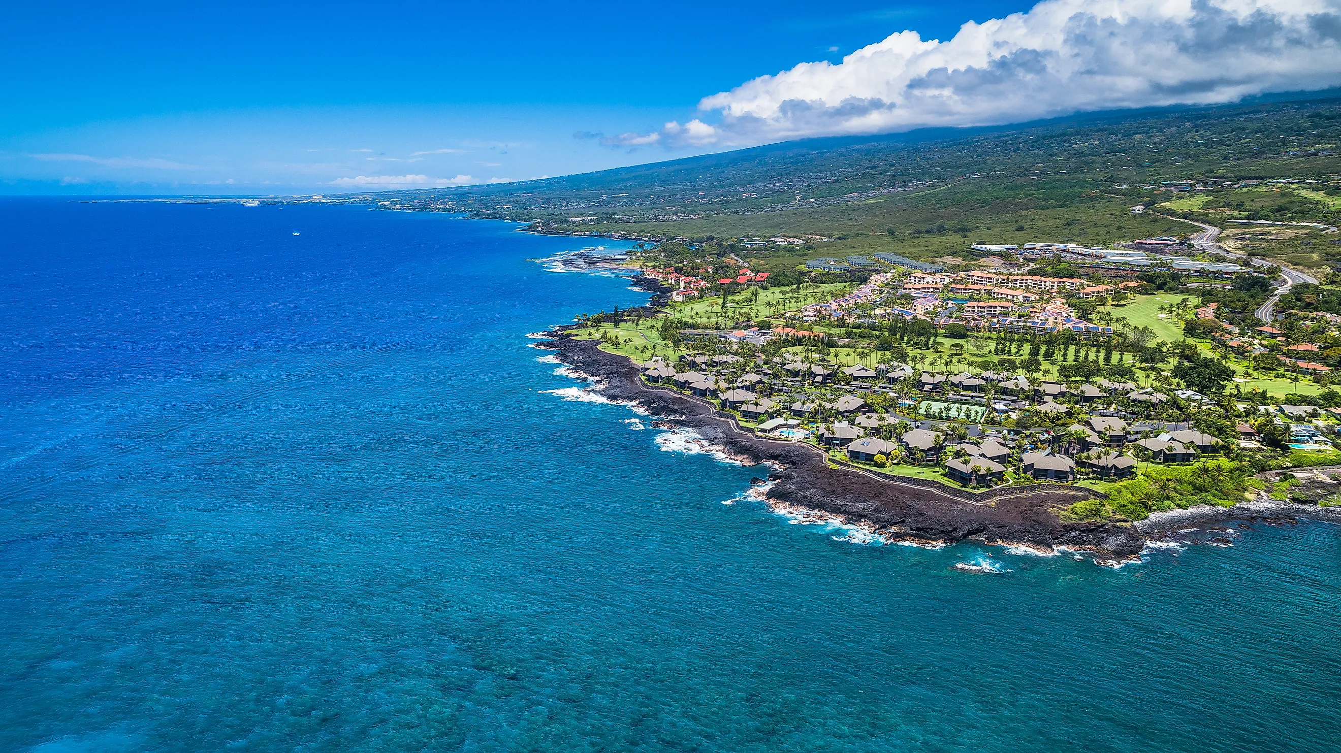
Hawaii County encompasses the entire Island of Hawaii, commonly known as the Big Island. At approximately 4,028 square miles of land, it is larger than the other Hawaiian counties combined. Its landscape includes Mauna Loa, Kilauea, tropical rainforests, and the volcanic slopes of Mauna Kea.
Hilo and Kailua-Kona are among its principal population centers, but neither operates as an independent incorporated city. County government is based in Hilo.
Honolulu County

The City and County of Honolulu covers Oahu, Hawaii's most populous island, along with most of the Northwestern Hawaiian Islands. Its jurisdiction includes Honolulu, Waikiki, Pearl Harbor, and the North Shore.
Unlike the other major counties, Honolulu has a consolidated city-county government, allowing one administration to provide municipal services across Oahu and its other territories.
Maui County

Maui County includes Maui, Lanai, Kahoolawe, and most of Molokai. Its islands have distinct landscapes, ranging from the volcanic summit of Haleakala to the dry, largely uninhabited island of Kahoolawe.
The county's boundaries also contain one of Hawaii's strangest geographic exceptions. Although most of Molokai belongs to Maui County, the Kalaupapa Peninsula on its northern coast is a separate county.
Kauai County

Kauai County covers Kauai and Niihau, along with smaller nearby islands. Kauai is known for its rugged Napali Coast and Waimea Canyon, while privately owned Niihau lies approximately 17 miles to the southwest.
The county's administrative center is Lihue on Kauai. Despite the separation between its two principal islands, they have remained part of the same county since the territorial system was established.
Kalawao County

Kalawao is the most unusual of Hawaii's five counties. It occupies approximately 12 square miles of the Kalaupapa Peninsula on Molokai, making it one of the smallest counties in the United States by land area. According to the 2020 US Census, just 82 people lived there.
The peninsula is separated from the rest of Molokai by sea cliffs rising approximately 2,000 feet. Its isolation led the Hawaiian Kingdom to establish a settlement there for people with Hansen's disease. The first patients arrived on January 6, 1866, and thousands were subsequently sent there under compulsory isolation policies.
When Hawaii established counties in 1905, Kalawao was designated separately from Maui County. It remains under the jurisdiction of the Hawaii Department of Health and does not have the ordinary elected government found in the state's other four counties. Today, the peninsula is also home to Kalaupapa National Historical Park, which preserves the history of the settlement and the people who lived there.
Why Hawaii Has Kept The Same Five Counties
Hawaii's county boundaries have remained largely unchanged because its system combines local administration into a small number of jurisdictions. The major islands provide natural geographic boundaries, while the absence of separate incorporated cities means there is less need for additional layers of municipal government.
The arrangement is also a reminder of Hawaii's unusual political history. The state developed from an independent kingdom into an American territory before achieving statehood in 1959, carrying elements of its earlier administrative geography into the modern county system.
Kalawao remains the clearest example of that history. Despite being part of Molokai, it has remained separate from Maui County for more than 120 years because of a public health policy established during Hawaii's territorial period. Its 12 square miles and 82 residents stand in sharp contrast to Hawaii County's thousands of square miles, yet both remain part of the same five-county system established in 1905.