The Counties Made Almost Entirely Of Mountains
America’s mountain counties stretch across the country. Petersburg Borough climbs from forested islands into icefields. Alpine County runs along the Sierra crest. Pike and Logan stack wooded ridges above narrow Appalachian hollows. Here, flat ground is the exception. Roads hug rivers, towns squeeze into valleys, and steep slopes close in fast.
The USDA Economic Research Service tracks this relief through its Area Ruggedness Scale. It classifies census tracts from Level 1 to Level 6 using each tract’s mean Area Terrain Ruggedness Index. That index compares elevation across neighboring terrain cells.
For this article, the tract figures were weighted by grid-cell count to produce countywide estimates; they are not official USDA county scores. Each of these counties places at least 90 percent of its measured terrain footprint in highly or extremely rugged tracts.
Petersburg Borough, Alaska

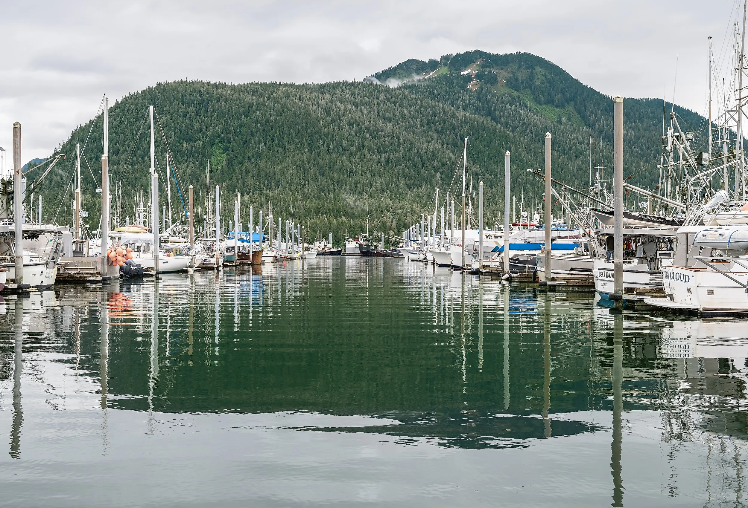
Petersburg Borough occupies about 2,901 square miles of land in Southeast Alaska's Alexander Archipelago. Its boundaries include Mitkof Island, part of Kupreanof Island, smaller islands, and a mountainous section of the mainland adjoining the Alaska-British Columbia boundary. The borough's eastern mainland rises into the Boundary Ranges of the Coast Mountains, where the Stikine Icecap feeds glaciers descending toward the surrounding channels and fjords.
The borough's highest point is Kates Needle, a steep international boundary summit generally listed at about 10,000 feet. Nearby Devil's Thumb reaches 9,077 feet and is one of the best-known climbing landmarks in the region. Much of the mainland terrain lies within Tongass National Forest and the Stikine-LeConte Wilderness. Roads serve Petersburg and parts of Mitkof Island, but the borough's mainland mountains and glaciers remain largely roadless.
Petersburg Borough consists of a single 2020 census tract classified by the USDA as Level 6, extremely rugged. Its mean Area TRI is 164.184, so the tract value also serves as the derived boroughwide mean. All of the borough's measured terrain-grid footprint falls within that extremely rugged tract.
Idaho County, Idaho

Idaho County covers approximately 8,478 square miles of land in north-central Idaho, making it the state's largest county by area. Mountain ranges, wilderness, forests, and deeply incised rivers occupy most of that enormous interior. The Clearwater and Bitterroot mountains rise across the north and east, while the Salmon River and its tributaries cut through the county farther south.
Large portions of the Selway-Bitterroot, Frank Church-River of No Return, and Gospel Hump wilderness areas lie within the county. In the west, the Seven Devils rise sharply above Hells Canyon and the Snake River. A 2023 high-precision survey measured She Devil at approximately 9,385.9 feet, only about three inches higher than neighboring He Devil; older maps and references often identify He Devil as the range's highest summit.
The county's derived mean Area TRI is 152.103. Approximately 93.5 percent of its terrain-grid footprint lies in tracts classified as highly or extremely rugged, including about 88.9 percent in extremely rugged tracts. The remaining share reflects limited portions of the county that fall in lower-ranked tracts, but rugged terrain still dominates at the county scale.
Pike County, Kentucky

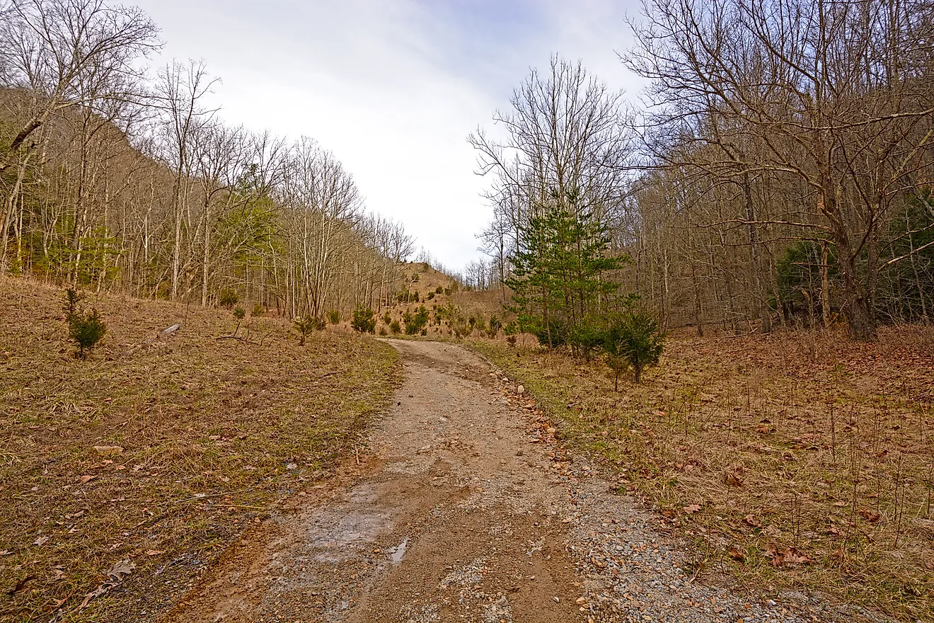
Pike County covers roughly 787 square miles of land in eastern Kentucky. It lies on the Cumberland Plateau, part of the broader Appalachian Plateaus province. Streams have dissected the upland into narrow valleys, branching hollows, and long, steep-sided ridges. The Levisa Fork of the Big Sandy River and its tributaries wind through the county, concentrating settlement and transportation in the valley bottoms.
Pine Mountain forms a particularly prominent ridge along the county's southern edge. According to the Kentucky Geological Survey, Pike County's highest elevation is 3,149 feet on Pine Mountain, approximately 2.25 miles southwest of Ashcamp. The county also includes part of Breaks Interstate Park, where the Russell Fork has cut a deep gorge through Pine Mountain near the Kentucky-Virginia line.
Pike County's derived mean Area TRI is 149.706. Its entire measured grid-cell footprint lies in tracts classified as highly or extremely rugged, and approximately 82.7 percent falls in extremely rugged tracts. Although the elevations are modest compared with western mountain counties, the closely spaced ridges and valleys produce exceptionally strong local relief.
Curry County, Oregon

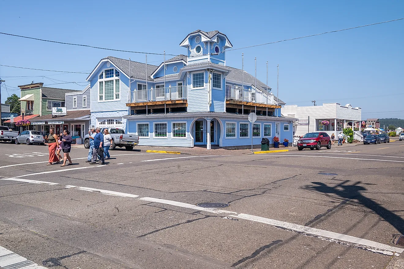
Curry County contains approximately 1,628 square miles of land along Oregon's southwestern coast. Its narrow coastal terrace quickly gives way to the Siskiyou Mountains, the largest subrange of the Klamath Mountains. According to the Oregon Encyclopedia, the Siskiyous occupy almost all of Curry and Josephine counties, with steep slopes and narrow canyons defining much of the region.
Brandy Peak, on the county's eastern boundary, is generally identified as Curry County's high point at 5,302 feet. Pearsoll Peak reaches 5,098 feet on the Curry-Josephine county line and is the highest point in the Kalmiopsis Wilderness. The Chetco, Rogue, and other rivers cut deep corridors through the mountains before reaching the Pacific, and large portions of the county's interior lie within Rogue River-Siskiyou National Forest or protected wilderness.
Curry County's derived mean Area TRI is 144.597. Approximately 99.7 percent of its terrain-grid footprint lies in highly or extremely rugged tracts, including about 89.5 percent in extremely rugged tracts. Small coastal and developed areas account for most of the limited terrain assigned to lower categories.
Alpine County, California

Alpine County covers approximately 738 square miles of land along California's eastern Sierra Nevada. True to its name, it contains high ridges, volcanic summits, forested slopes, alpine basins, and only small pockets of comparatively level terrain. The county extends across parts of the Sierra crest and the Carson Range near the Nevada boundary.
Sonora Peak, on the Alpine-Mono county line, is the county's highest point at about 11,464 feet. Other major summits include Highland Peak, Freel Peak, Round Top, and Jobs Sister. Portions of the Mokelumne and Carson-Iceberg wilderness areas lie within the county, while mountain passes such as Carson, Ebbetts, and Monitor provide the principal highway crossings through the surrounding ranges.
Alpine County consists of one 2020 census tract classified as Level 6, extremely rugged. Its mean Area TRI, and therefore the derived countywide mean, is 136.011. All of the county's measured terrain-grid footprint falls within that extremely rugged tract.
Mineral County, Colorado

Mineral County covers approximately 876 square miles of land in southwestern Colorado. The San Juan Mountains occupy nearly the entire county, and the Continental Divide crosses its high country. Creede and the upper Rio Grande valley provide some of the county's limited lower terrain, while surrounding ridges and summits repeatedly rise above 12,000 and 13,000 feet.
The county's highest point is an officially unnamed 13,902-foot summit commonly called Phoenix Peak, Gwynedd Mountain, or Creede Crest. It lies on the Mineral-Saguache county line within the Rio Grande National Forest, adjoining the La Garita Wilderness. La Garita Peak reaches approximately 13,710 feet, while South River Peak rises to about 13,154 feet in the Weminuche Wilderness.
Mineral County consists of a single 2020 census tract classified as Level 6, extremely rugged. Its mean Area TRI is 145.248, which also serves as the derived countywide mean. All of its measured terrain-grid footprint lies within the extremely rugged tract.
Logan County, West Virginia

Logan County, the smallest selection on this list, covers approximately 454 square miles of land in southern West Virginia. It lies within the Appalachian Plateaus, where erosion has carved the upland into a dense network of wooded ridges, narrow hollows, and stream valleys. Communities and roads are concentrated along waterways because broad areas of level ground are scarce.
Spring Mountain is generally identified as the county's highest named summit at approximately 2,661 feet. Other prominent elevations include Buffalo Mountain, Kelly Mountain, Rattlesnake Knob, and Blair Mountain. None approaches the elevation of the western summits on this list, but the repeated rise and fall between ridge crests and valley floors make Logan County exceptionally rugged at a local scale.
Logan County's derived mean Area TRI is 158.692, the second-highest value among these seven selections. Its entire terrain-grid footprint lies in highly or extremely rugged tracts, with approximately 83.1 percent in extremely rugged tracts. The result illustrates why elevation alone cannot define mountain country: Logan County's peaks are comparatively low, but its closely packed relief leaves little of the landscape untouched by steep terrain.
The Many Shapes of Mountain Country
These places are separated by thousands of miles and represent very different mountain environments. Petersburg's terrain rises from coastal islands and icefields. Idaho County contains enormous wildernesses and river canyons. Pike and Logan counties are defined by the repetitive ridges and hollows of Appalachia. Curry County combines the Pacific coastline with the steep Siskiyou interior. Alpine County occupies high Sierra terrain, while Mineral County lies almost wholly within the San Juan Mountains.
The USDA ruggedness data do not determine whether every acre is literally part of a mountain. They do, however, show where strong local elevation changes dominate the land. Across these counties and county equivalents, mountains, ridges, canyons, and steep valleys define the landscape's structure.