9 Picture-Perfect Main Streets In New Mexico
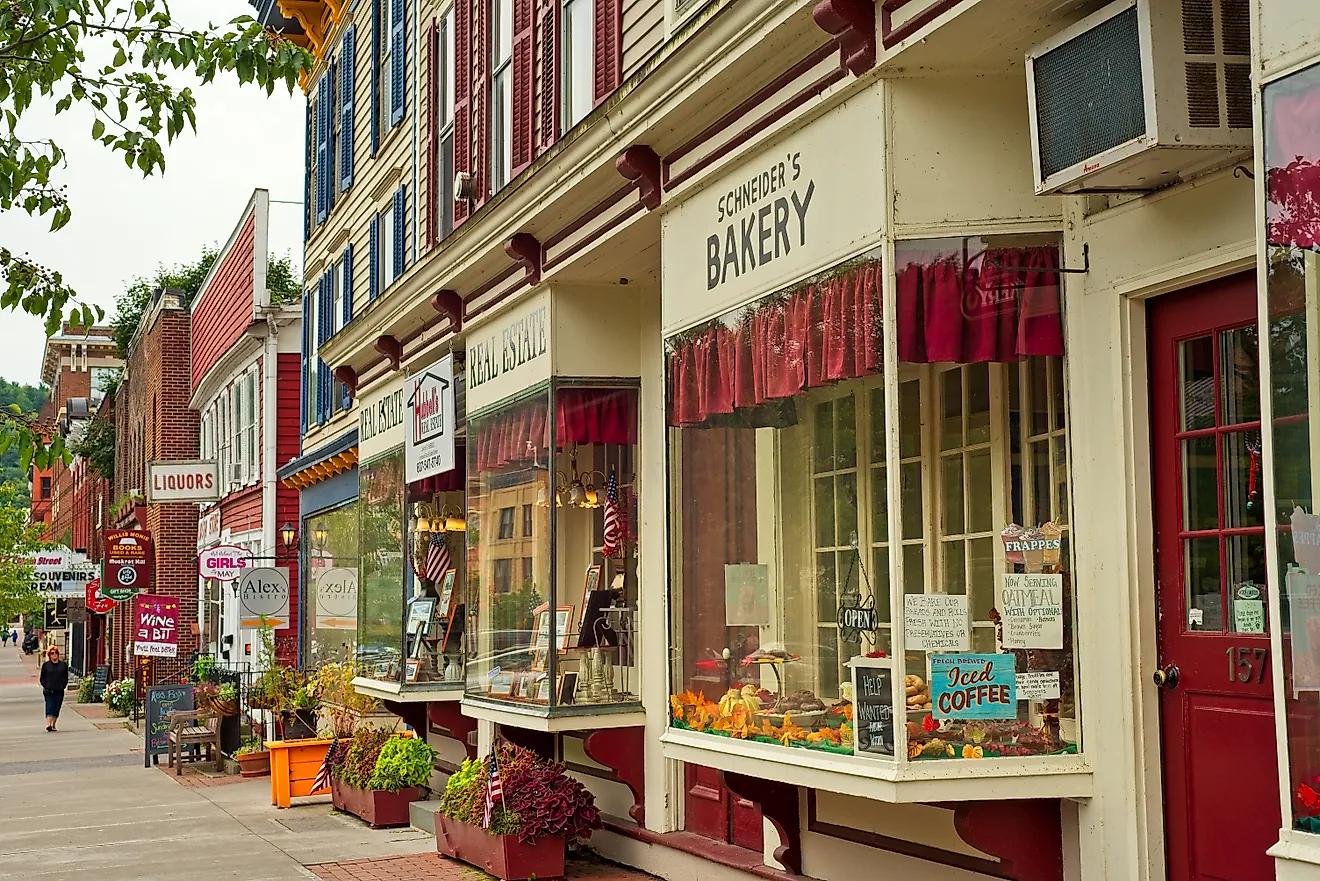
New Mexico's Main Streets carry centuries of Indigenous, Spanish colonial, and Mexican history under a later American veneer. Some run around adobe plazas with church towers, chile restaurants, and shaded benches. Others trace old mining roads, pine-lined mountain blocks, or Route 66 corridors lit with neon. What ties them together is how easily they still work as gathering places. Each of these nine towns has its own character and a story you pick up as you walk the pavement.
Taos

Around Taos Plaza, adobe storefronts in the historic square hold a wide range of goods to browse. Bent Street branches off with courtyards and galleries set back slightly from the sidewalk, and Kit Carson Road carries the walk onward with restaurants, stores, and museum stops near the center. Ledoux Street is the place to go for a quieter set of art spaces and older homes built close to the street.
The Harwood Museum of Art holds more than 100 years of work from Taos and northern New Mexico. Its galleries include pieces tied to the Taos Society of Artists, alongside modern and traditional art. On Ledoux Street, the Ernest L. Blumenschein House keeps rooms from the home of one of the early Taos art colony figures, so visitors can see the kind of interiors that shaped daily life for artists in town. At the Taos Art Museum at Fechin House, Nicolai Fechin's former home puts handmade woodwork on display throughout.
Mesilla

Mesilla Plaza is a place to slow down almost immediately. Brick walkways cross beneath mature trees, and adobe storefronts face a square with the Basilica of San Albino at its head. Its pale facade and twin towers stand well above the surrounding buildings, a focal point from nearly every corner of the plaza.
The shops nearby read as natural extensions of the square rather than a separate retail district. Their windows hold jewelry, pottery, and regional foods, and shaded benches make it easy to pause between stops. The plaza is compact enough that visitors rarely lose sight of the basilica as they move between storefronts and courtyards.
Just off the square, La Posta de Mesilla fills a historic adobe building with tilework, colorful dining rooms, and the parrots that have become part of its identity. A plate of chile enchiladas or rellenos keeps visitors close to the old town center, within an easy walk back to the plaza and no reason to move the car.
Silver City

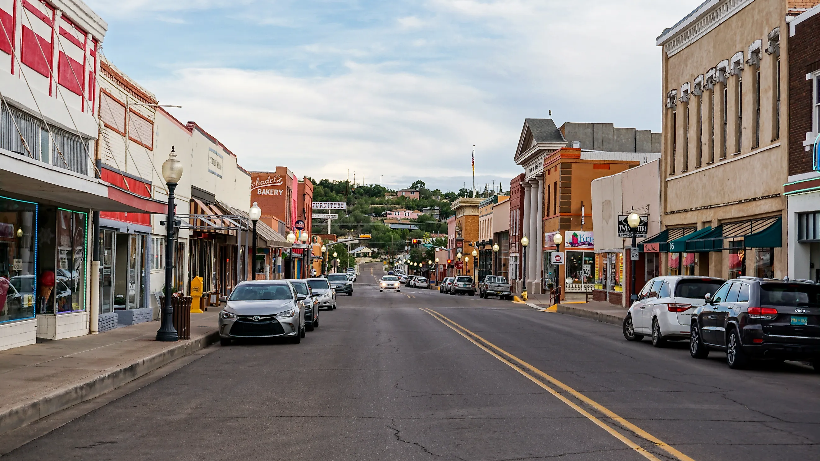
Bullard Street sets the tone downtown, active but unpolished. Cafes, bookstores, and older commercial buildings run along the route without feeling overly restored. Storefront windows sit close to the sidewalk, and the patios add enough movement to reward a slow walk.
Near the center of downtown, the pavement drops toward one of Silver City's more unusual landmarks. Big Ditch Park follows a channel that floods cut along the route of the town's former Main Street. Trees and footbridges now soften the sunken corridor, though the change in elevation still shows how far the water reshaped the business district.
A few blocks away, the Silver City Museum fills the former H.B. Ailman House. Its exhibits cover the town's mining history and the people who shaped the surrounding region, all inside a residence that belongs to the same historic streetscape. The restored Silco Theater brings an old movie-house marquee back to Bullard Street, and the downtown walk moves easily between commerce, flood history, and local culture.
Las Vegas

Mature trees throw broad patches of shade across Las Vegas Plaza, and the square stays calm even when the surrounding streets are busy. On one side, the Plaza Hotel stands out with balconies and tall windows that recall the town's late-19th-century prosperity. Visitors can step into its lobby or follow the edge of the square toward Bridge Street.
The feel shifts on Bridge Street. Storefronts stand closer together, and the upper-floor windows form a denser wall along the sidewalk. That contrast between the open plaza and the tighter business blocks gives the old town center more visual variety than a single historic square could.
About a mile east, the restored Castañeda Hotel marks the town's railroad history. Once part of the Harvey House network, the building took in passengers arriving by rail during the town's busiest travel years. Today Bar Castañeda serves a meal or a drink inside the restored property. The two districts together show how Las Vegas grew around two centers, one at the plaza and one at the railroad.
Madrid

State Road 14 narrows as it enters Madrid and becomes the town's main commercial corridor, running beneath handmade signs and weathered mining buildings. Galleries and cafes fill structures that once served a coal community, which gives the street a rougher look than the state's carefully preserved plazas. The businesses stay individual, with little effort to make every storefront match the next.
A coffee from Java Junction is an easy starting point before the galleries farther along the road. Cowgirl Red stocks vintage Western clothing and jewelry, and Connie's Photo Park leans into Madrid's eccentric side with costumes and theatrical backdrops.
The Mine Shaft Tavern is still the street's social anchor. Its music and green chile cheeseburgers pull in a steady mix of residents and visitors, inside a building closely tied to the town's revival. Next door, the Madrid Old Coal Town Museum lays out what came before the galleries. Mining equipment and historic photographs connect the present-day roadside community to the industry that first put it on the map.
Cloudcroft

Burro Avenue runs through Cloudcroft beneath tall pines, with wooden storefronts and sloping roads that match the village's mountain setting. The air is cooler here than in much of southern New Mexico, and the weather can change the street's character within minutes. Fog blurs the storefront signs, and snow can turn the same blocks into a winter village scene.
The commercial district is compact enough to browse without planning a route. A coffee or candy stop fits easily between the small shops, and forest roads start only a short distance past the final storefront.
Mad Jack's Mountaintop Barbecue has become a destination in its own right. Lines often form before the kitchen sells out of brisket, ribs, and sausage, which makes the meal something visitors plan around rather than stumble onto.
At the Sacramento Mountains Museum and Pioneer Village, the exhibits explain how logging and the railroad shaped the area. That history continues outdoors at the Trestle Recreation Area, where a forest path leads to a viewpoint over a surviving railroad trestle. Burro Avenue works best as the start of the day rather than the whole of it, a way into the mountains that surround the village.
Ruidoso

Sudderth Drive gives Ruidoso a recognizable center, even with cabins and lodges scattered across the surrounding slopes. Shops, tasting rooms, and restaurant patios sit close enough together to make Midtown genuinely walkable. Mountain ridges rise beyond the buildings, and the landscape stays in view even along the busiest commercial blocks.
Wingfield Park starts only a short distance away, where the streetscape opens into a public lawn used for events and casual walks. Grindstone Lake sits farther out, but its trails and shoreline make a natural follow-up to time downtown. The shift from shop windows to open water happens quickly enough to fit both into the same afternoon.
Truth Or Consequences

The old bathhouse district of Truth or Consequences spreads across Main Street and several adjoining blocks. Mineral-water businesses sit among the motels and small shops, a trace of the years when the community was still called Hot Springs. The narrow roads and older storefronts feel practical rather than staged, as though the town simply kept building around its geothermal water.
Black Cat Books & Coffee fits the relaxed setting. Used books and coffee fill the shop, and readings and the occasional high tea give it the kind of community role a Main Street business should have. Nearby galleries introduce regional artists without turning the district into a formal arts quarter.
The town's defining experience still happens in the water. At Riverbend Hot Springs, outdoor soaking pools sit beside the Rio Grande, the mineral baths paired with an open view across the river. The Geronimo Springs Museum lays out the history behind those springs and the town's unusual name change, useful context before a return to the bathhouse blocks outside.
Tucumcari

Route 66 runs straight through Tucumcari, which is why its Main Street carries glowing signs instead of courthouse lawns. Neon and painted walls line the old highway and give drivers a reason to slow down. The wide road belongs to a bygone travel era, when a motel had to catch a motorist's eye through a windshield.
The Blue Swallow Motel is the most recognizable stop along the route. Its neon sign lights a traditional motor court where the rooms open onto individual garages. After sunset, the restored property is one of the clearest surviving pictures of mid-century Route 66 travel.
Tee Pee Curios announces itself with a concrete tepee built around the entrance. The shop has sold road-trip souvenirs for decades, but the exaggerated roadside architecture is what makes travelers pull over. A short drive away, the New Mexico Route 66 Museum fills in the broader story of the boulevard, placing Tucumcari's signs and motor courts within the history of the highway that sustained them.
New Mexico Main Streets Worth Photographing
An ideal Main Street backs its photogenic facades with real depth. Across New Mexico, these districts still link their best-known landmarks to the businesses and public spaces that keep town life moving. That continuity is the appeal: the railroad hotel still takes guests, the bathhouses still draw mineral water, and Route 66 still glows after dark. Every town on this list is worth photographing, and every one gives travelers a reason to stay.