8 Stunning Small Towns In New Mexico
In New Mexico, a small town can completely change with the next bend in the road. One moment brings the white gypsum dunes outside Alamogordo, while another leads to the forests surrounding Cloudcroft. Similarly, Taos features a valley overlook, while Chama sits among meadows and conifer forests near the Colorado border. These towns show just how many versions of New Mexico can fit within one state, each with a landscape that gives its community an unmistakable look.
Silver City

Silver City has a distinctive setting in southwestern New Mexico, with the Pinos Altos Range rising around a town shaped by its high-desert environment and mining past. The streets near downtown retain brick, adobe, and Victorian-era buildings, while the surrounding hills bring in a rugged quality. That contrast gives Silver City variety amidst the dusty rock mountains.
Boston Hill is one of the clearest places to see that contrast. The 550-acre open space rises above town and has trails passing former mining sites, with broad views toward the surrounding mountains and Gila National Forest. Big Ditch Park brings a different element to the townscape, showcasing the architecture of the past. San Vicente Creek runs through the park below the level of the surrounding streets, creating a tree-lined green corridor through downtown. Gough Park adds another pocket of greenery near the center of town, while the Silver City Historic District highlights the roots that made the town what it is today.
Taos

Taos has one of the most visually distinctive settings among New Mexico's small towns, with the Sangre de Cristo Mountains rising to the east and the high desert stretching toward the Rio Grande. The town's adobe architecture adds another layer to the scenery, particularly around Taos Plaza, where low, earth-toned buildings line the historic center.
The scenery becomes especially dramatic at Rio Grande del Norte National Monument, where the Rio Grande cuts through an approximately 800-foot-deep gorge surrounded by volcanic terrain. The monument's Taos Valley Overlook gives a broad view and sits on the edge of the gorge. Taos Pueblo, a UNESCO World Heritage Site and National Historic Landmark, adds architectural beauty of a very unique kind, with multistory adobe dwellings that have been continuously inhabited for more than 1,000 years. The Rio Grande Gorge Bridge completes the town, with a high panoramic view of the town and its incredible range.
Cloudcroft

At nearly 9,000 feet in the Sacramento Mountains, Cloudcroft looks more like a mountain village than a desert community often associated with New Mexico. Dense strands of pine, fir, oak, and aspen cover the slopes, creating a green backdrop that changes drastically with the seasons. The village sits within Lincoln National Forest, where forested ridges, mountain meadows, and views across the Tularosa Basin give the landscape its depth.
The Osha Trail captures much of this scenery in a compact route through high-elevation forests and meadows, with a western overlook extending across the Tularosa Basin. Nearby, the Mexican Canyon Railroad Trestle crosses a forested canyon and remains one of the area's most distinctive visual landmarks. The Sunspot Scenic Byway offers a 15-mile driving route through the Sacramento Mountains with expansive views toward the basin and White Sands National Park. For another unique feature in this otherwise dry area, Bluff Springs is a nearby waterfall surrounded by cliffs and forests, bringing some serene waterside to this small community.
Jemez Springs

Jemez Springs sits in a landscape shaped by volcanic activity, with the Jemez River winding through steep canyon walls and forested mountains rising around the village. The scenery changes quickly along the Jemez Mountain Trail National Scenic Byway, where dark volcanic rock, pine forests, and open mountain views create a striking setting.
Just north of the village, Soda Dam is one of the area's most unusual natural formations. Mineral deposits accumulated over centuries to form a domed barrier across the Jemez River, creating layers of pale and reddish rock above the rushing water. Farther along the river, Battleship Rock rises roughly 200 feet above the canyon, its shape created by ancient volcanic eruptions. Valles Caldera National Preserve is an 88,900-acre preserve that is full of distinctive volcanic depressions and domes, mountain meadows, and winding streams. The park features the stunning Redondo Peak.
Madrid

Madrid is shaped by its location in the Ortiz Mountains and its former life as a coal-mining community. Along the Turquoise Trail, the town's historic buildings, colorful storefronts, galleries, and old miners' homes line NM-14, giving the community a tight-knit look against the high-desert hills. The Madrid Historic District preserves much of this older streetscape, including company buildings and miners' homes dating back to the town's founding.
A few miles north of town, Cerrillos Hills State Park has five miles of walking trails through mineral-rich hills with views toward the Sandia, Ortiz, Jemez, and Sangre de Cristo ranges. Along the town's main street, the Madrid Old Coal Town Museum occupies part of the former mining complex, where old industrial structures are on display. The Turquoise Trail National Scenic Byway itself completes the town, winding through the deserts and small communities that surround Madrid.
Alamogordo

Alamogordo is defined by a landscape that looks unlike anywhere else in New Mexico. Just west of town, White Sands National Park spreads across the Tularosa Basin in waves of brilliant white gypsum sands. The dunes cover about 275 square miles, forming the world's largest gypsum dune field and creating a landscape of smooth ridges and shifting shadows that change through the day.
The scenery switches up as you get to Oliver Lee Memorial State Park, where Dog Canyon cuts into the Sacramento Mountains. Springs feed pools beneath cottonwoods and support an unusually lush strip of vegetation within the surrounding Chihuahuan Desert. The Dog Canyon Trail climbs from the canyon toward the mountain crests, with overviews of the nearby forests, parks, and basins.
Chama

Chama's mountain landscape is set amongst dense conifer forests, meadows, and the upper Rio Chama Valley. One of the most impressive sights is the Cumbres & Toltec Scenic Railroad, a National Historic Landmark that departs from Chama and climbs through aspen groves and steep canyons toward the 10,015-foot Cumbres Pass.
The Rio Chama is a quiet yet striking feature for this mountain community. Its protected upper reaches flow through a wooded valley, while the broader river corridor farther downstream cuts through colorful sandstone and siltstone canyon walls. The Edward Sargent Wildlife Management Area borders the village itself, featuring miles of hiking trails and opportune wildlife viewing spots.
Abiquiu

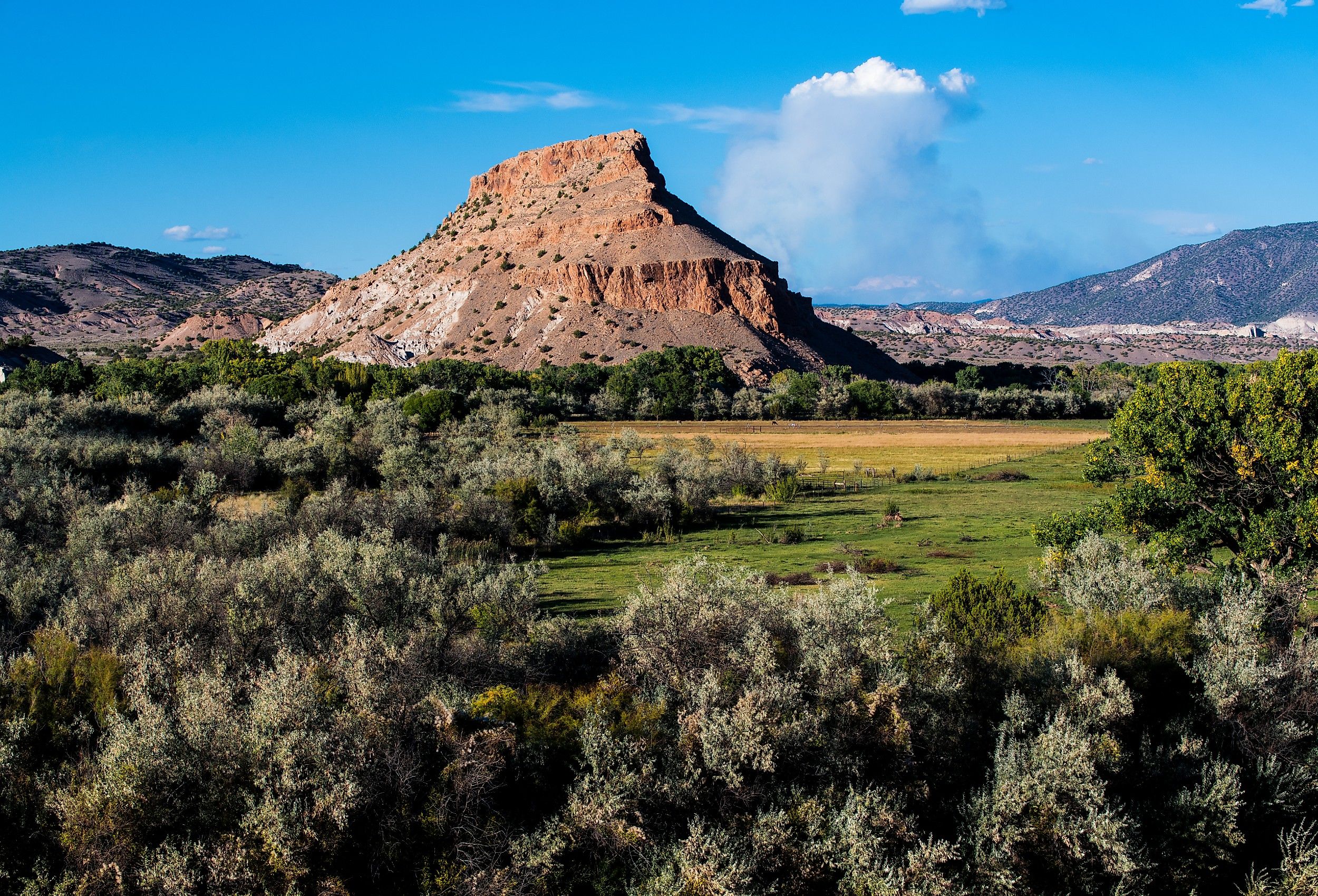
The town of Abiquiu is a village that has drawn artists to northern New Mexico for generations. The village sits amid high desert mesas, colorful cliffs, and open skies, with the terrain shifting from soft earth tones to deep reds and golds. The scenery is especially striking around Ghost Ranch, where 21,000 acres encompass towering cliffs, canyons, grasslands, and rock formations along the Piedra Lumbre. American painter Georgia O'Keeffe repeatedly painted these landscapes, including the flat-topped Cerro Pedernal, which is one of her most recognizable subjects.
Plaza Blanca, a collection of pale rock formations shaped by erosion, provides a stark contrast to the red cliffs in the north. The nearby Abiquiu Lake's blue waters contrast the surrounding rocks, creating a distinct look for the town that has been artistically captured for years. Near the town's center, the Georgia O'Keeffe Home and Studio features tours through the history of an artist who put Abiquiu on the map.
New Mexico's scenery does not follow a single formula. The state's smaller communities show how drastically the landscape can change within relatively short distances, from forested mountains to vast desert basins and unusual rock formations. What makes these towns striking is the way the scenery becomes part of the town's identity rather than just being a pretty sight. Historic buildings, local streets, waterways, and natural landmarks all take on different appearances beneath New Mexico's desert sun.