Which States Border Arizona?
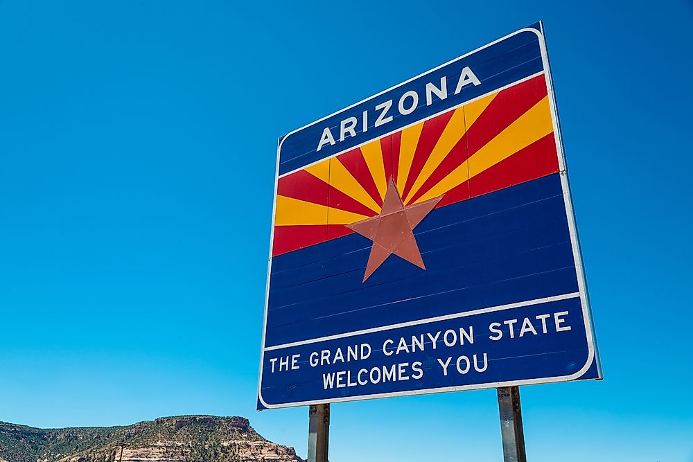
Arizona is a state in the southwestern United States. Arizona is also considered part of the Mountain and Western states. Arizona has an area of about 113,990 square miles, which makes it the sixth largest state in the US by land area. The capital city of the state, which doubles as the largest city, is Phoenix. Arizona borders four states: New Mexico, Utah, California, and Nevada. In addition to these states, Arizona also shares a border with Mexico.
New Mexico
New Mexico, which has been nicknamed the Land of Enchantment, is a southwestern state. The state has an area of about 121,590 square miles, which makes it the fifth-largest state. The capital city is Santa Fe while the largest city in the state is Albuquerque. As of 2017, New Mexico had an estimated population of about two million people, which places it in the 36th position in terms of population size. New Mexico was admitted to the union on January 6, 1912.
Utah
Nicknamed the Beehive State or the Mormon State, Utah is a US state located in the nation’s western region. Utah was the 45th state to be admitted to the union after its admittance on January 4, 1896. The state has an area of around 84,899 square miles, which makes it the 13th largest state of the United States. The biggest city, which doubles as the capital city, is Salt Lake City. As of 2017, Utah had a population of about 3.1 million people, which makes it the 31st most populated state in the US.
California
Located in the Pacific Region of the US, California is a state that has an area of about 163,696 square miles and a population of about 39.6 million people. It is the most populated state in the US. Nicknamed the Golden State, California’s capital city is Sacramento while Los Angeles is the largest and most populated city in the state. California was the 31st state to be admitted to the union after its admission on September 9, 1850.
Nevada
Nevada is also known colloquially as the Silver State, the Battle Born State, or the Sagebrush State. The state is located in the western region of the United States. With an area of about 110,577 square miles, Nevada is the seventh largest state in the US in terms of size. The state has a population of about 3 million people, which makes it the 33rd most populated state. Nevada was the 36th state to be admitted to the union after its admission on October 31, 1864. The capital city of the state is Carson City while Las Vegas is its largest city.
Colorado
Nicknamed the Centennial State or Colo, Colorado is a state that is located in the US’s western region. The state has an area of about 104,094 square miles, which makes it the eighth-largest state of the US. The capital city, which is also the largest city, is Denver. With a population of about 5.7 million people, Colorado is the 21st most populated state. Colorado was the 38th state to be admitted to the union after its admission on August 1, 1876.


