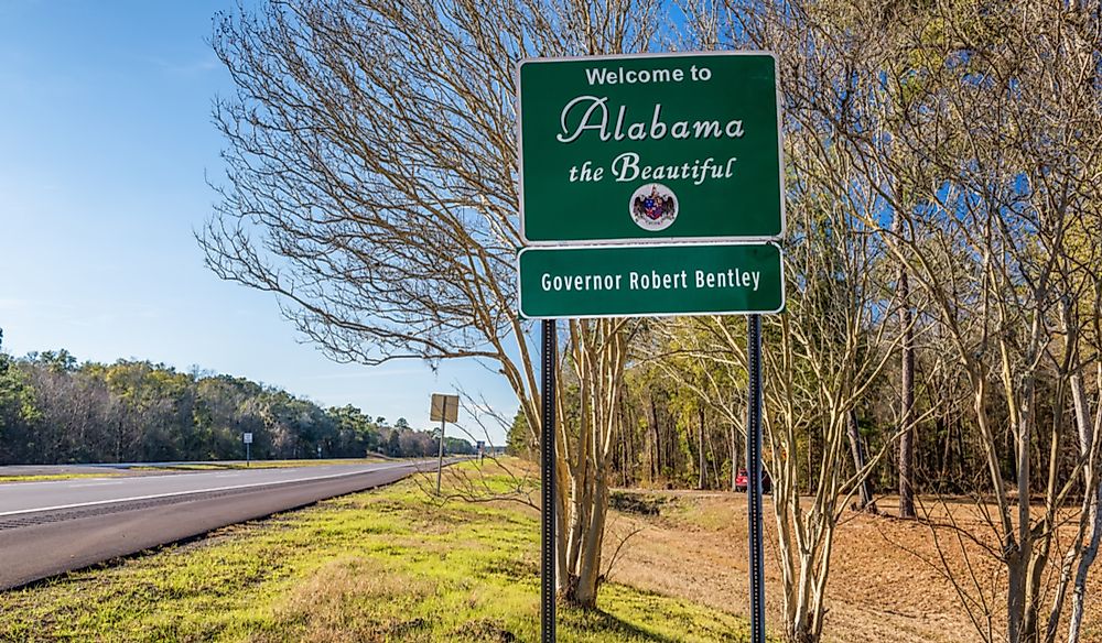
Which States Border Alabama?
Alabama is an American state situated in the country's southeastern part where it covers an area of roughly 52,419 square miles. Alabama is the country’s 24th most populous state and the 30th largest regarding the land area. The state also has the largest inland waterways than any other state having a total of 1,500 miles long inland waterways, and it has the nickname of Yellowhammer, which is derived from the name of the state bird. Other nicknames of Alabama include the Cotton state and the Heart of Dixie. The oldest city in Alabama is Mobile, which was founded in 1702 by a French colonialist and it served as the capital of French Louisiana. Human societies have lived within Alabama's borders for a long time with archaeological evidence showing that Native American communities moved into the area at least 12,000 years ago. Despite the long history of human settlement in the region, the modern day boundaries of the state were mainly influenced by events that took place from the 17th century to the 19th century. Alabama shares its borders with the states of Mississippi, Georgia, Tennessee, and Florida.
The Alabama-Mississippi Border
The boundary between Alabama and Mississippi is situated in Alabama's western region. The boundary between the two states came about as a result of several factors such as Native American traditions, inaccurate maps, and a treaty between the Choctaw Native Americans and the British that was signed in 1765. George Johnstone who at the time was the governor of West Florida negotiated the treaty with the leaders of the Choctaw tribe. The treaty defines the boundary between the Native American settlements and British settlements. The boundary between the settlements was later used as one of the primary reference points in establishing the border between Alabama and Mississippi. Washington County's northwestern corner was identified as a point where the Choctaw border crossed an ancient trail that was used by Native American tribes as they moved out of Mobile. In 1817, after Congress established the Mississippi state and the territory of Alabama, the northwest corner was used as a significant reference point for creating the border. Some residents of Mississippi heavily contested the initial border as it alienated them from their families and business interests on the other side of Pascagoula Bay. Congress rectified the issue in 1819 after Alabama was recognized as a state.
The Alabama-Georgia Border
Alabama and Georgia are separated by a border located on Alabama's eastern edge. A large section of the border between Alabama and Georgia traces the path of the Chattahoochee River. The boundary traces its history to the colonial era after the British gained control of all the land in the region. George Johnstone was also influential in determining the location of the boundary between Alabama and Georgia. During the mid-19th century, Alabama and Georgia were embroiled in a dispute over the border. Alabaman leaders wanted clarification on the exact position of the border because they claimed that the high-water mark's position in the land west of the Chattahoochee was affected by the region's geography. The Alabaman leaders claimed that the disputed territory should be handed over to Alabama. On the other hand, Georgian leaders claimed that the disputed territory should be under their control. In 1855, Alabaman leaders presented their case to the Supreme Court, and three years later, Georgian leaders submitted their response. In 1860, the Supreme Court decided that the border between the two states would be marked by the average high-water mark on the Chattahoochee's western bank. The Supreme Court also gave both Georgia and Alabama the right to navigate the Chattahoochee River.
The Alabama-Tennessee Border
The border that separates Alabama and Tennessee is located on the northern edge of Alabama. Several Alabaman counties are located along the boundary with Tennessee such as Lauderdale, Madison, and Jackson. The Tennessean counties which are located along the border include Shelby, Fayette, and Lawrence. One of the unique towns located on the border of the two states is Ardmore. The town is situated within four counties, two in Tennessee and two in Alabama. Ardmore is essential because it was used for initial testing of the Apollo Spacecraft. The town was also the home of the Saturn IB Rocket.
The Alabama-Florida Border
Florida and Alabama are separated by a boundary which is situated in the southern edge of Alabama. The history of the border between Alabama and Florida dates back to the late 18th century after the signing of the Treaty of Paris. Several Alabaman counties are located along the boundary with Florida such as Geneva, Covington, and Houston. Floridian counties which are located along the border with Alabama include Holmes, Jackson, and Okaloosa. There are several significant towns along the border such as Dothan and Pensacola. Dothan is one of Alabama's most important towns as it is the seat of Houston County. In 2010, it was estimated that the town was home to roughly 65,496 people. Dothan is one of the most historic towns in the region as it was the site of civil unrest during the late 19th century. A new tax had caused the unrest levied on the city's wagons. Pensacola is one of Florida's most important cities as it is the most westerly town within the Florida Panhandle. Pensacola is also one of the major seaports in the region. In 2010, it was estimated that the city was home to roughly 56,255 people. The town is named after the Pensacola community, one of the Native American communities that lived in the area before the arrival of the Europeans.
The Economy of Alabama
The state of Alabama has a diversified economy, and some of its economic drivers include education, aerospace, banking, health care, and industries such as the production of steel, manufacturing of automobile, extraction of minerals, and fabrication. Animal and crop production also play a significant part in the state and 2006, they were valued at $1.5 billion. In 2008, the gross state product was $170billion or per capita GDP of $29,411. The state of Alabama’s GDP in 2012 increased by 1.2% compared to the previous year.


