Which Countries Border Papua New Guinea?
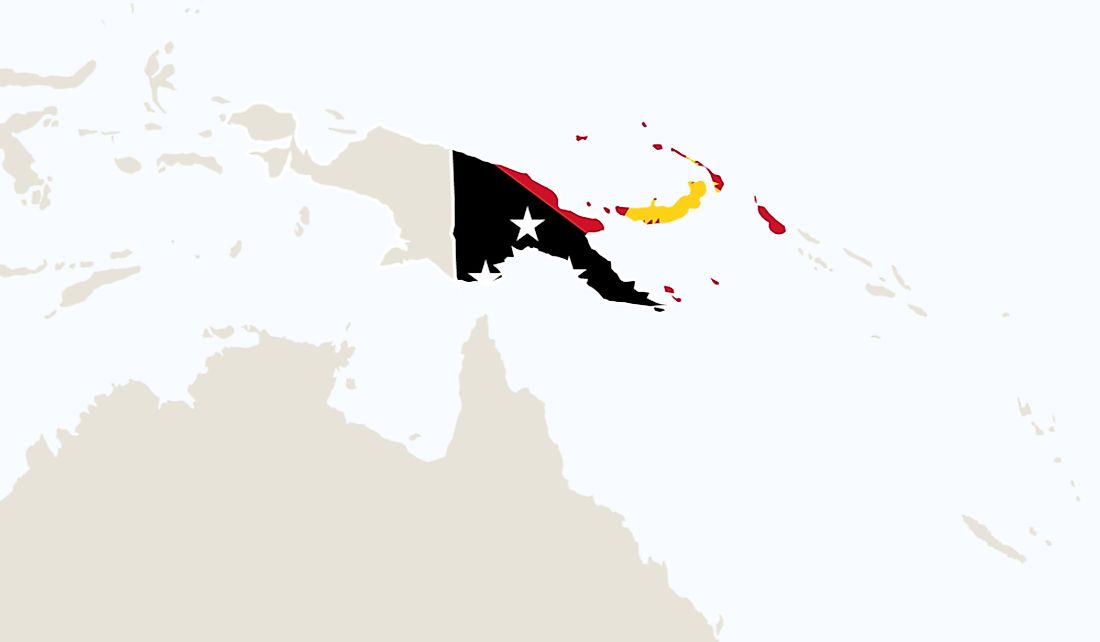
Papua New Guinea is among the unique nations in the world due to the significant cultural diversity within the borders. The country spans an area of roughly 178,700 square miles in Oceania and is made up of several islands as well as a section of land on the island of New Guinea. Archaeological evidence indicates that Papua New Guinea has been home to a variety of communities for more than 40,000 years. Despite the nation's long history, the shape of the border was significantly impacted by events that occurred from 1884. From 1884 to 1975, Papua New Guinea was under the control of three different foreign powers. In the present day, the land border of Papua New Guinea is roughly 512 miles. The country shares its land boundary with only one other country, Indonesia. The country also shares its maritime borders with Australia and Indonesia.
Development of Papua New Guinea's borders
The borders of the country began taking their present-day shape in the 19th century when part of the country was under the control of the Germans, and the other part was under the control of the British. Germany's control of the area lasted from 1884 to the time when WWI broke out when the Australians took the region under their control. After the war, the League of Nations declared the section that the Germans had ruled a mandate territory and selected Australia to administer. In 1905, the government of the United Kingdom, through an act of parliament, transferred their territory to the Australian government. Even though both sections were now under Australian rule, they were administered differently. The two separate sections were officially combined into one after the First World War, and the unified region was given the name and was known as the Territory of Papua and New Guinea.
The Land Border with Indonesia
The 512-mile land border separating the two countries is Papua New Guinea's only land border. The land boundary between Papua New Guinea and Indonesia was determined in 1974. The Australian government, who at the time still had control of Papua New Guinea, negotiated the treaty with the Indonesian government. There are several towns situated on the Papuan side of the border with some of the most well-known being Kiunga, Morehead, Green River, and Amanab. Several rivers flow close to the border on the Papua side such as the Sepik River and the Fly River. Lake Murray is also located close to the border on the Papuan side.
The Shape of the Border
The border between Papua New Guinea and Indonesia has one of the most distinctive shapes in the world. It is relatively straight over most sections except for a portion that curves into Indonesia tracing the path of the Fly River. Before the bend, the boundary follows the same path as the 141st meridian, but after the bend, it follows a path roughly 1.3 miles east of the meridian. The reason for the border having such a distinct shape dates back to the 19th century, in particular, 1893. During this period, the southern region of the country was considered insecure due to constant headhunting. The British negotiated the shape of the boundary to allow them to efficiently patrol the area without having to cross the border into Indonesia's territory regularly. Another factor that contributed to the distinct shape of the border was the presence of British gold diggers. The shoe of the border allowed the gold diggers to travel inland in search of gold.
Relationship with Papua New Guinea
Due to their proximity, the ties between Papua New Guinea go back several years. Before the establishment of formal borders, individuals regularly crossed from one region into the other. According to one of the leading experts on Papua New Guinea, Leo Suryadinata, Papua New Guinea and Indonesia were involved in several border disputes, and in 1979 they signed a treaty to resolve the conflict. The governments of Papua New Guinea and Indonesia also signed a treaty in 1986, the Treaty of Cooperation, Mutual Respect, and Friendship, in which they agreed to peacefully solve any disputes that may arise.
The Refugee Crisis
One of the most significant issues between Indonesia and Papua New Guinea is the constant flow of refugees from Indonesia into Papua New Guinea. The refugee crisis was caused by the long-standing dispute between the Indonesian government and the Free Papua Movement. According to an article published in the Le Monde Diplomatique, in 2013, more than 13,000 Indonesians from Papua had fled across the border to Papua New Guinea and were living as refugees. The refugee crisis has strained diplomatic relations between Papua New Guinea and Indonesia.
Maritime Border with Australia
Australia and Papua New Guinea share a maritime border that is situated in the Coral Sea. The maritime border between Australia and Papua New Guinea was determined by a treaty signed in 1978. Papua New Guinea is the nation closest to Australia, and due to the proximity and shared history, they have a uniquely close relationship.
The Relationship with Australia
The ties between Australia and Papua New Guinea date back to the period when the nation was under Australia's control. Australia had a significant impact on Papua New Guinea's history and even impacted the shape of its borders. Australia and Papua New Guinea cooperate on some issues such as trade and economic development with Australia lending a helping hand to Papua New Guinea to grow its economy. Despite the close ties between the two countries, Michael Somare, who at the time was the Prime Minister of Papua New Guinea, was barred from going into Australia due to a strained relationship with John Howard, the Australian Prime Minister. After John Howard lost his reelection bid in 2007 and was replaced with Kevin Rudd, the two worked to repair the relationship between the two countries.
The Security of the Papua New Guinea Border
The government of Papua New Guinea has invested heavily in safeguarding its border especially due to the insecurity on the Indonesian side. The terrain of the area significantly aids the government in keeping the border safe.


