Which Countries Border Pakistan?
Pakistan is located in South Asia and covers an area of 340,509 square miles. The country’s capital is Islamabad, and the country had a population of 207,774,550 as per the 2017 census ranking it sixth in population globally. Pakistan has a varied landscape made up of forests, deserts, plateaus, and hills. Pakistan borders four countries: India, Afghanistan, Iran, and China. The total land border has a length of approximately 4,344.1 miles.
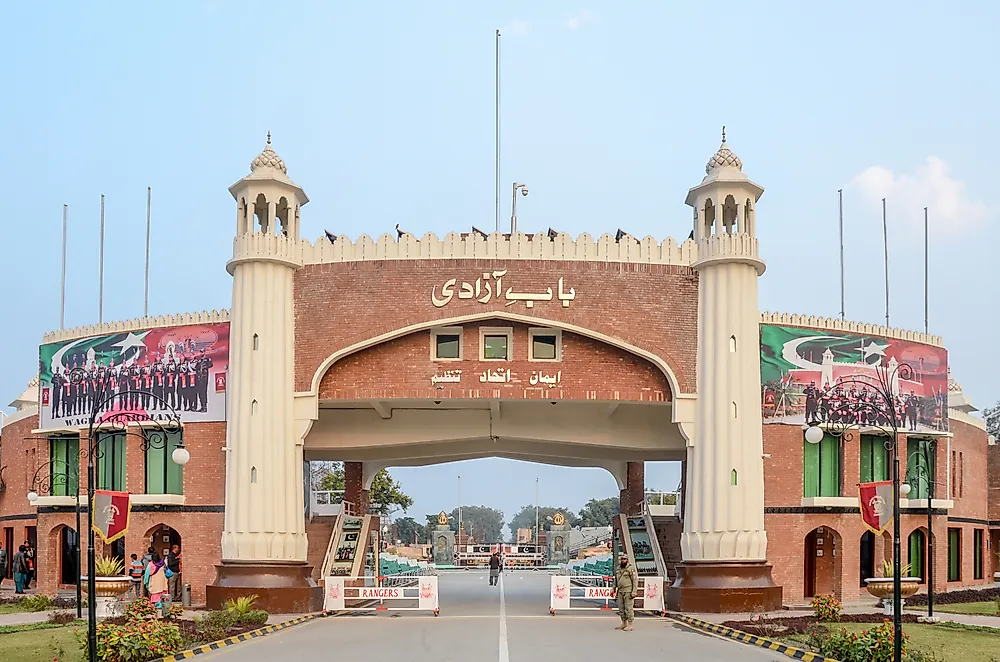
India
The India-Pakistan border separates India from Pakistan. The border begins at the Line of Control and ends in Wagah. The line of control is a line controlled by the military that separates Indian Kashmir from Pakistan Kashmir. India is in control of about 45.1% of Kashmir while Pakistan controls 38.2%. The Line of Control is not accepted as an international border, but it is a regional agreement between the two countries. The Indian side is named Jammu and Kashmir, and the Pakistani is Azad Jammu and Kashmir. The line of control was set up in 1972 after a war between India and Pakistan in 1947. Wagah, on the other hand, divides Indian Punjab from Pakistani Punjab. The Pakistan-India border was based on the Radcliffe line which was set by Sir Cyril Radcliff in 1947. The border is 1,800 miles, and it is considered one of the most dangerous borders globally.
Afghanistan
The border separating Afghanistan from Pakistan is 1,510 miles, and it is officially known as the Durand line. The border was agreed upon in 1896 between the Afghan Amir, Abdur Rahman Khan, and Sir Mortimer Durand. Afghanistan was considered independent by the British by then though the British still took care of the country’s foreign affairs. The two signed an agreement on November 12, 1893. The border passes through the Pashtun tribal areas and the Balochistan region dividing the Pashtuns and Baloch ethnic groups on either side of the border. The border was disputed before it was accepted in 1994.
Iran
The Iran-Pakistan border separates Sistan and Baluchistan province, Iran from Balochistan province in Pakistan and is 564.8 miles long. Iran started building a concrete wall border barrier to separate the two countries, and it is to cover 434.96 miles from Mand to Taftan. The wall is intended to curb illegal border crossing and drug peddling.
China
The Karakoram Highway in Pakistan crosses into China and becomes the China National Highway 314. The border between the two countries is 363.5 miles long and has only one crossing which is the Khunjerab Pass. The highway was built by both the Chinese and Pakistan governments and is at times referred to as the friendship highway. The Karakoram highway passes through the Gilgit Baltistan area. Gilgit Baltistan is a slightly independent region under the Pakistani administration. The region is one of the disputed areas between India and Pakistan in the Kashmir region. The population of Gilgit Baltistan wants to be included as a distinct fifth province in Pakistan. The highway is one of the tourist attractions in the area and despite Pakistan not being a tourist destination; the Guardian ranked the highway as the best tourist attraction site in Pakistan in 2006.
The Kashmir Dispute
The Kashmir region between India and Pakistan has been an area of conflict between the two countries. The two countries have had three wars over the region in 1947, 1965, and 1971. The war in 1971 saw Bangladesh become an independent country. India claims the Kashmir area was given to them by the Kashmir leaders while Pakistan believes the area belongs to them due to its geographical location and the Muslim majority.
Countries That Border Pakistan
| Rank | Pakistan's Neighbors |
|---|---|
| 1 | India |
| 2 | Afghanistan |
| 3 | Iran |
| 4 | China |


