Which Countries Border Burkina Faso?
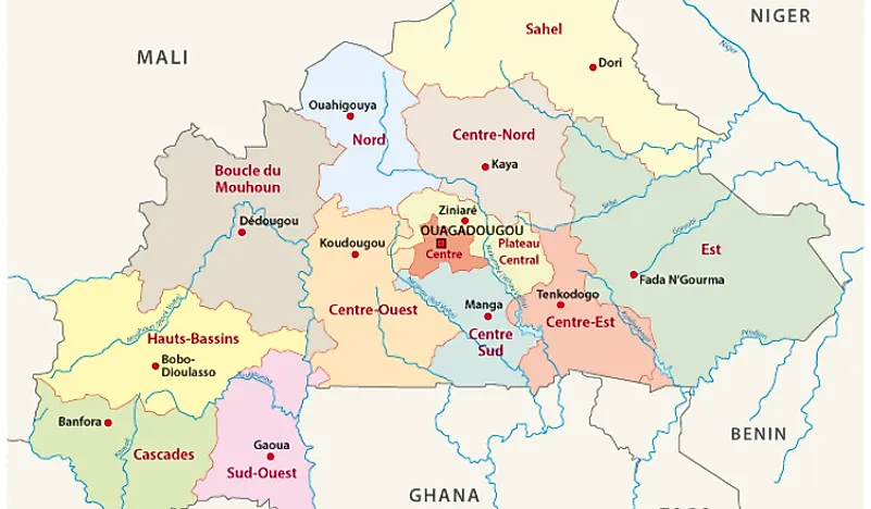
Burkina Faso is a West African landlocked state which occupies an area of approximately 105,900 square miles. The country has over 20 million residents and it is surrounded by Ghana, Ivory Coast, Togo, Benin, Mali, and Niger. The official language which is used by businesses and the government is French. President Sankara changed the state’s name from Upper Volta to Burkina Faso on August 4, 1984. The capital of Burkina Faso is Ouagadougou, and its citizens are known as the Burkinabes.
The country’s terrain is greener to the south with fruit trees and forests and a desert occupies the northern part of the country. A large percentage of its territory is about 1,001 feet above the sea level on the Savanna Plateau which has scattered trees, brush, and fields. Burkina Faso has a land area of about 105,714 square miles, and its waters cover approximately 154 square miles. Its entire border is about 2,243 miles long.
The hunter-gatherers occupied the northern part of the country as from 14000 to 5000 BC. The Iron-Age Bura culture was established in the southeastern parts of Burkina Faso from the third to the thirteenth centuries AD. Most of the ethnic groups in the country like the Dyula, Fula, and Mossi arrived in the region between the eighth and the fifteenth centuries. The French invaded the area during the Scramble for Africa in 1890s and made it a part of French West Africa by 1904. They established an independent colony known as Upper Volta on December 11, 1958. The country gained its full independence on August 5, 1960, under President Yameogo.
Countries Bordering Burkina Faso
Mali
Mali is the eighth biggest African state which occupies an area of about 480,000 square miles with over 18 million residents. It is a landlocked state on the northern part of Burkina Faso. The country has eight regions with its northernmost boundaries stretching into the Sahara desert, while the southern region features Senegal and Niger rivers. Mali’s economy is centered on mining and agriculture with some of its natural resources including salt and gold.
The Mali-Burkina Faso boundary is about 826 miles long, and it is on the southern parts of Mali. These two countries have had a boundary dispute over the Agacher Strip for years now with two armed conflicts erupting in 1985 and 1974. The only river which forms part of the international border is River Banifing. Another natural feature which is found of this international boundary is Mount Tenakourou. Mount Tenakourou is an elevated hill which is about 2,451 feet above the sea level. There are some border crossings in Mahou village and Benena in Mali.
Niger
Niger is a West African landlocked state which was named after River Niger. It is surrounded by Algeria, Libya, Mali, Burkina Faso, Chad, Benin, and Nigeria. The country covers an area of about 490,000 square miles and has over 21 million residents. About 80% of Niger’s territory is in the Sahara Desert, and its capital is Niamey.
The Niger-Burkina Faso boundary is about 386 miles long and is on the eastern parts of Burkina Faso. River Sirba is one of River Niger’s tributaries which form part of the international boundary between the two states. Another river which forms part of the border is River Tapoa. Topoa River flows through the province of Topoa before forming a smaller portion of the boundary as it drains into River Niger.
Benin
Benin, previously known as Dahomey, is a West African state which is surrounded by Niger, Burkina Faso, Nigeria, and Togo. It is a tropical region which occupies an area of about 44,310 square miles with over 10.87 million residents. Benin’s economy is dependent on agriculture, with a high percentage of their substantial income coming from subsistence agricultural. Even though their official language is French, numerous native dialects like Yoruba and Fon are still widely spoken. The 240 mile-long Benin-Burkina Faso boundary is on the southeastern parts of Burkina Faso. Some of the rivers which form part of the international border between the two states include River Mekrou and River Oti.
Togo
Togo is a West African autonomous state which is surrounded by Burkina Faso, Ghana, and Benin. It is the smallest African state which occupies an area of about 22,008 square miles with over 7.6 million residents. It is a tropical, sub-Saharan state whose economy relies on agriculture, plus their climate provides regular farming seasons. The 89 mile-long Togo-Burkina Faso boundary is on the southern parts of Burkina Faso.
River Oti forms a small part of the Burkina Faso-Togo border. It is an international river which originates from Burkina Faso and flows through Togo and Benin to merge with River Volta in Ghana. One of the critical checkpoints on this border is in Senkase. Senkase is a settlement in north Togo which is some few miles from the Ghana, Burkina Faso, and Togo tripoint.
Ghana
Ghana is a constitutional democracy which is along the Atlantic Ocean and the Guinea Gulf in West Africa. Ghana covers an area of about 92,099 square miles and is surrounded by Togo, Ivory Coast, and Burkina Faso. The country has over 28 million residents. The biggest religious groups in Ghana are Christianity (62%) and Muslims (23.6%). The Ghana-Burkina Faso boundary which is on the northern part of the country is 374 miles long.
The Mouhoun is a river which stretches through Burkina Faso to the White Volta in Ghana, and it forms a part of the international boundary between Ghana and Burkina Faso. Another stream which extends on this border is River Oti. The main border crossing between the two states is in Bawku which is in northern Ghana.
Ivory Coast
Ivory Coast is an independent West African state which is surrounded by Ghana, Burkina Faso, Liberia, Mali, and Guinea. The country’s largest and economic capital is Abidjan while its political capital is in Yamoussoukro. Ivory Coast became an economic powerhouse in West Africa in the 1960s and 1970s through cocoa and coffee production, but the financial crisis of the 1980s caused their social and political downfall. Ivory Coast occupies an area of about 124,504 square miles and the country has over 23 million residents.
The Ivory Coast-Burkina Faso boundary is 339 miles long. The only river that runs on this boundary for about 37 miles is River Komoe which originates from Sikasso. The only border crossing between these two countries is in Kalamon.


