Which Countries Border Canada?
Canada is the second largest country in the world after Russia. Despite its size, Canada shares a land boundary with the United States only and maritime borders with the French overseas territories of Saint Pierre and Miquelon, and the Danish autonomous territory of Greenland.
The Canada-US Border
The Canada-US border is the world's longest boundary between two countries with a total length of 5,525 miles. It stretches from Alaska in the northwest to Maine the east. In total, 13 American states share the boundary with 8 Canadian provinces. The border was demarcated on September 3rd, 1783 after the American War of Independence but several treaties including the Oregon Treaty, the Webster-Ashburton Treaty, the Jay Treaty, and the Treaty of 1818 resulted in the present-day borderline.
Yukon
Yukon shares a 786-mile long border with the American state of Alaska. The boundary begins at the Beaufort Sea and stretches southwards along the 141st Meridian West. It makes a sharp southeastwardly turn at 60°18′N to parallel the St. Elias Mountains before terminating at the boundary with British Columbia.
British Columbia
British Columbia shares a boundary with Alaska to the northwest and the states of Washington, Idaho, and Montana to the south. The total length of the border is about 1,347 miles of which only 45 miles are shared with Idaho.
Alberta
Alberta shares a boundary with Montana along the 49th Parallel North. The entire boundary is about 185 miles long. Much of the borderline runs through thick forests except for a few border crossing points.
Saskatchewan
Saskatchewan borders Montana and North Dakota along the 49th Parallel North. The entire length of the boundary is about 393 miles long. There are six border crossing points on the border with North Dakota and a further six on the border with Montana.
Manitoba
Manitoba border North Dakota and Minnesota. A large part of the 309-mile long boundary lies along the 49th Parallel North except for the eastern end where it makes a sharp turn to the north before turning back south.
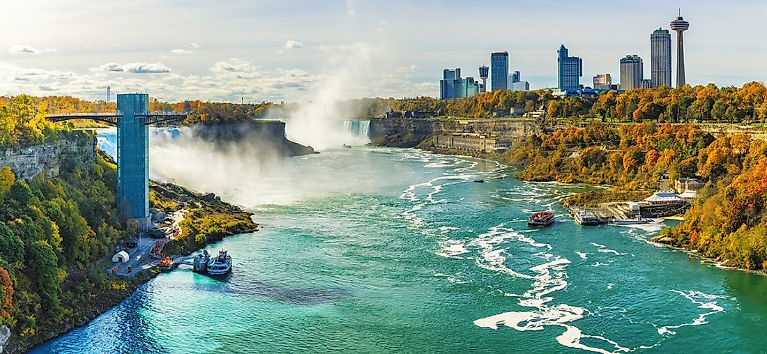
Ontario
Ontario has the longest border with the United States stretching for 1,682 miles from Minnesota in the west to New York in the east. The borderline runs through Lake Superior, Lake Huron, Lake Erie, Lake Ontario, and the Saint Lawrence River into Quebec.
Quebec
Quebec has a 505-mile long boundary with the states of New York, Vermont, New Hampshire, and Maine. It rises at the Saint Lawrence River where it separates Ontario from New York along the 45th Parallel. It follows the path of the Appalachian Mountains until 46°25′N, 70°03′W where it turns north towards Beau Lake before terminating at the border with New Brunswick.
New Brunswick
New Brunswick shares a 318-mile long boundary with Maine. The borderline rises from the southern tip of Beau Lake and runs through the Saint John River before turning southwards into the Chiputneticook Lakes. It traverses through St. Croix River and the Passamaquoddy Bay before terminating upon reaching international Waters.


