Mid-Atlantic (United States)
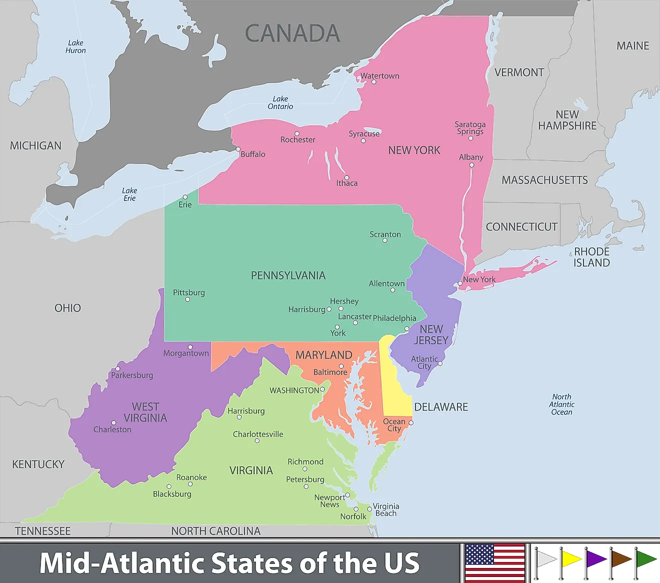
- The 7 Mid-Atlantic States are New York, New Jersey, Pennsylvania, Delaware, Maryland, Virginia, and West Virginia.
- Washington D.C. is within the territory of the Mid-Atlantic States, but is not a state itself.
- All but one of the Mid-Atlantic States were among the 13 original colonies that declared independence from England in 1776, and formed the United States of America.
- New York is the largest and most populous state of the Mid-Atlantic States, while Delaware is the smallest and least populous.
The term, Mid-Atlantic States, refers to 7 U.S. states in the eastern U.S., stretching from the southern border of the New England states to the northern border of the state of North Carolina. This U.S. region also includes the District of Columbia, where the national capital, Washington, is situated. The Mid-Atlantic States are New York, New Jersey, Pennsylvania, Delaware, Maryland, Virginia, and West Virginia. New York is the largest and most populous state of the Mid-Atlantic States, while Delaware is the smallest and least populous. All but one of these states were part of the 13 original American colonies that fought for independence from England and became the United States of America.
Contents:
New York
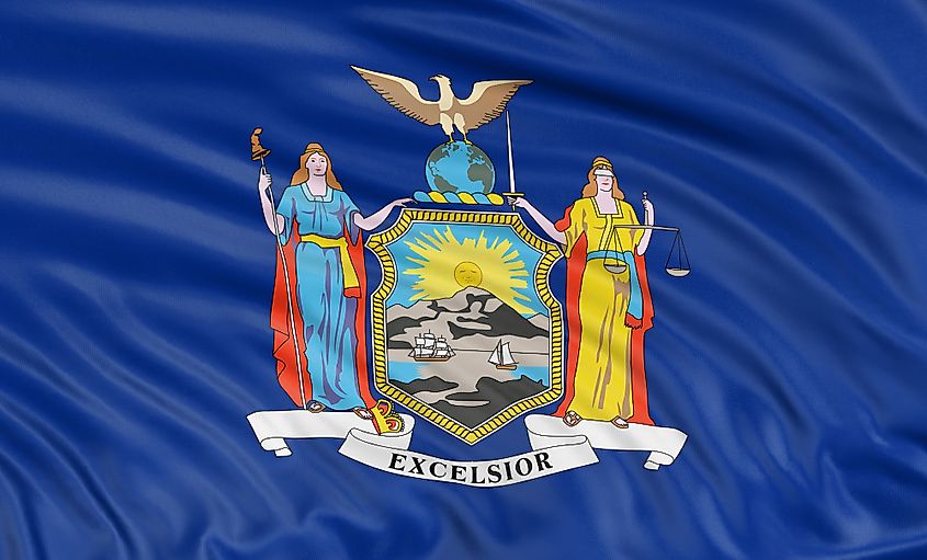
New York is the largest and most northerly of the Mid-Atlantic States. It includes New York City, the largest city in the United States. New York City is the home of the Statue of Liberty, the Broadway Theatre District, the United Nations, Wall Street, and many other famous sites. New York’s state capital is called Albany, and is located close to the border with the New England states of Vermont, Massachusetts, and Connecticut.
The population of the state of New York is approximately 19.4 million, making it the 4th most populous state in the U.S. The Dutch were the first Europeans to settle in New York, establishing the colony of New Amsterdam in 1644, in what is now New York City. Some places in New York City still carry Dutch names, like the neighborhood of Harlem and the borough of Manhattan. But the English took over the colony in 1664 and renamed it New York. Between 1892 and 1954, millions of new immigrants came to the U.S. via New York Harbor. In fact, it is estimated that up to 40% of the American public have at least one ancestor that came to the country through that harbor.
New Jersey
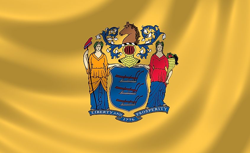
New Jersey is located to the west of New York City, across the Hudson River. Most of the rest of the state faces the Atlantic Ocean. New Jersey also borders Pennsylvania to the west. Approximately 8.88 million people live in the state. The two largest cities in the state are Newark and Jersey City, both of which have populations in excess of 200,000. The state capital, Trenton, is located in the central part of the state, on the border with Pennsylvania. Atlantic City, on the southeastern New Jersey coast, is a popular gambling and resort city in the U.S. New Jersey is also home to Princeton University, one of the so-called Ivy League schools, which means that it is one of the best post-secondary institutions in the country.
The state was originally the home of the Delaware Indians. The Dutch, Swedes, and Finns were the first Europeans to settle there. The first European settlement, Bergen, was founded in 1660. In 1664, the English took New Jersey from the Dutch and added it to their American colonies on the Atlantic coast. Many people consider the battle of Trenton, which became New Jersey’s state capital, to be a turning point in the Revolutionary War.
Pennsylvania
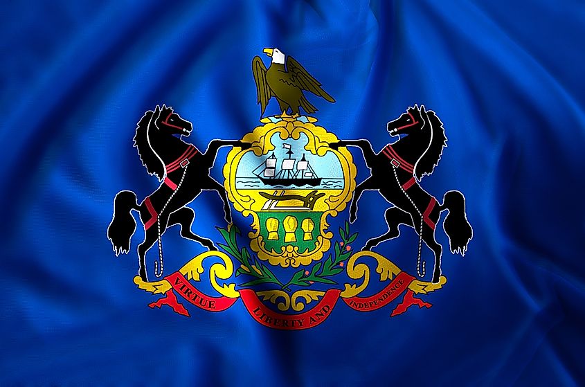
Pennsylvania is named after William Penn, who founded the American colony in 1681. The state is located south of New York, west of New Jersey, and north of Maryland. Pennsylvania’s population is an estimated 12.8 million, making it the 6th most populous state in the U.S. Formally known as the Commonwealth of Pennsylvania, the state contains some of the most important historical sites in the U.S. Indeed, Pennsylvania is nicknamed “The Keystone State” for its important role in building what became the United States of America.
Philadelphia, the largest city in the state, is where the 1st and 2nd Continental Congresses were held. The 2nd Continental Congress produced the U.S. Declaration of Independence that sparked the Revolutionary War. Philadelphia also served as the U.S. capital for a time. The U.S. Constitution was also written in Pennsylvania, as was the Gettysburg Address, which abolished slavery in the country. The Battle of Gettysburg, a town in the southern part of the state, was a turning point in the U.S. Civil War, when the Union Army of the north defeated the Confederate army of the south, ending the latter’s invasion of the northern Union states. Pennsylvania was also the home of Benjamin Franklin, who was a famous inventor, not to mention one of America’s Founding Fathers.
Delaware
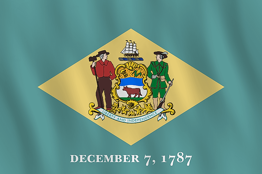
Delaware is located east of Maryland and southwest of New Jersey. It is the smallest and least populous of the Mid-Atlantic States. Actually, Delaware is the second smallest state in the entire country. The state’s size and its population of approximately 973,000 make it one of the most densely populated states in the U.S. Delaware is also the lowest state in the country, being just 60 feet above sea level.
Over two thirds of all Fortune 500 companies are Delaware entities. In fact, there are more corporate entities in the state than there are residents. If you want to shop on the cheap, then Delaware may be the ideal place to do it, as it is one of the five U.S. states that does not have a sales tax. The first European settlement founded in present-day Delaware was that of the New Sweden Company in 1638. It was taken over by the Dutch in 1655, then by the English in 1664. After the English took over, Delaware was governed from New York, then from Pennsylvania. It was finally given status as a separate colony in 1701. Delaware is nicknamed “The First State”, because it was the first state to ratify the U.S. Constitution in 1787.
Maryland
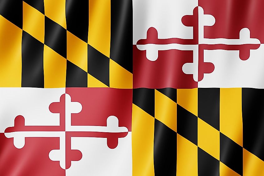
Maryland is situated south of Pennsylvania and west of Delaware, with some eastern coastline facing the Atlantic Ocean. Maryland’s northern border was formerly part of the Mason-Dixon Line, which was the border that separated states that banned slavery in the north from states that allowed it in the south. About 6 million people call Maryland home. Baltimore is by far the state’s largest city, with a population of approximately 609,000. Maryland was founded as an English colony in 1634. It was named in honor of Queen Henrietta Maria, the wife of King Charles I.
It was in Maryland where Francis Scott Key wrote “The Star-Spangled Banner”, upon witnessing a battle during the War of 1812. The song became the U.S. national anthem. During the U.S. Civil War, Maryland was one of the southern states that stayed in the Union, despite slavery being legal there at the time. The Maryland Gazette, founded in 1727, is the oldest continuously published paper in the country.
Virginia
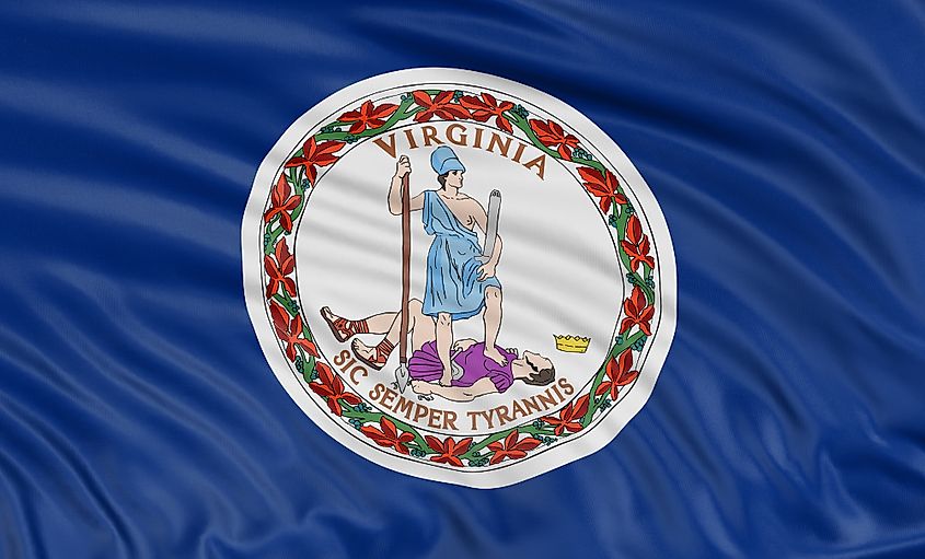
Virginia is the southernmost state of the Mid-Atlantic States. It is located southwest of Maryland, east of West Virginia and Kentucky, and north of North Carolina. The state’s population is an estimated 8.5 million people. Virginia was named in honor of Queen Elizabeth I, England’s so-called Virgin Queen. The state is nicknamed “The Birthplace of a Nation”. Indeed, the first English settlement in what became the U.S. was Jamestown, Virginia. Thus, Virginia was the first of the original 13 American colonies. In addition, the Revolutionary War in which the U.S. won its independence ended in Virginia with the surrender of British military commander Charles Cornwallis at the Battle of Yorktown.
The state’s capital, Richmond, was the capital of the Confederate States of America during the U.S. Civil War. Virginia is also home to the College of William and Mary, which is the second-oldest college in the U.S., having been founded in 1693. At one time Virginia was once composed, not only of its present-day territory, but also the territory of what became the states of West Virginia and Kentucky.
West Virginia
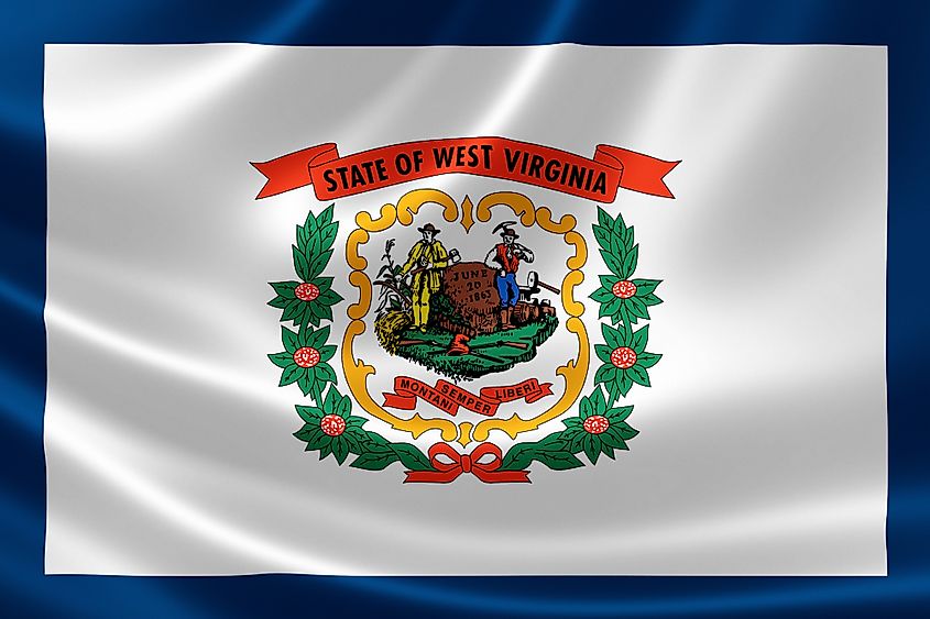
West Virginia is unique among the Mid-Atlantic States in that it is the only one that does not have direct access to the Atlantic Ocean via an ocean coastline or an adjacent river. It is completely landlocked, surrounded by the states of Pennsylvania, Ohio, Kentucky, Virginia, and Maryland. West Virginia has a population of about 1.79 million. The state is located within a day’s drive of 75% of the U.S. population. West Virginia is nicknamed “The Mountain State” because it is the only state that is situated completely in the Appalachian mountain range.
West Virginia is also the 3rd most forested state in the U.S. One forest, the Monongahela Forest, covers nearly a million acres of land. West Virginia may not have come into being if it were not for the U.S. Civil War. The people of the mountainous western region of Virginia opposed the state’s decision to secede from the U.S. and join the Confederate States. As a result, they formed their own state, called West Virginia, which was formally admitted to the Union as a state on June 20, 1863.
Washington D.C.
Washington D.C. is not a state. D.C. stands for District of Columbia, which was created to host the U.S. capital, Washington. It is located on the eastern shores of the Potomac River, between Virginia and Maryland. Washington D.C. is self-governing, which means that it is not under the jurisdiction of any U.S. state. It is named after George Washington, the first President of the United States. It was he who picked the exact site on the Potomac River on which the city would be built.
The city was founded in 1790, after both Maryland and Virginia ceded land that was to be part of the national capital. All three levels of government are based in Washington D.C. Capitol Hill is the building that houses the U.S. legislature, composed of the House of Representatives and the Senate. The White House on Pennsylvania Avenue is the residence of the U.S. President. The Supreme Court, the highest court in the country, is also based in the capital.
Mid-Atlantic (United States)
| Rank | State | Area (in km2) | Population | Capital City |
|---|---|---|---|---|
| 1 | New York | 141,297 | 19,440,469 | Albany |
| 2 | New Jersey | 22,591 | 8,626,207 | Trenston |
| 3 | Pennsylvania | 119,280 | 12,820,878 | Harrisburg |
| 4 | Delaware | 5,130 | 982,895 | Dover |
| 5 | Maryland | 32,133 | 6,083,116 | Annapolis |
| 6 | Virginia | 110,787 | 8,626,207 | Richmond |
| 7 | West Virginia | 62,755 | 1,778,070 | Charleston |
