Maps of Norfolk Island

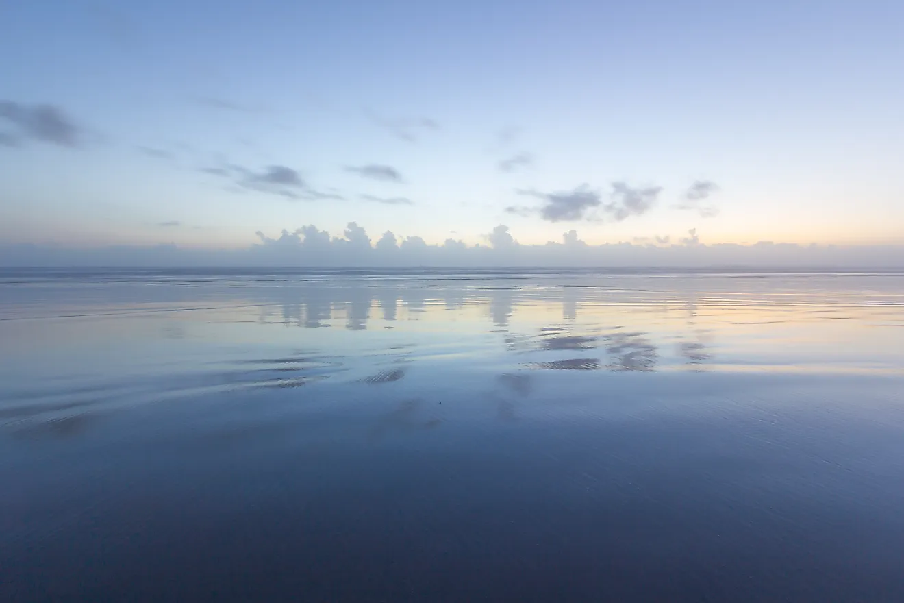
Covering a total land area of only 34.6 sq.km, Norfolk Island is an external territory under Australia located in the South Pacific Ocean. The Norfolk Island is mainly a mountain top remnant of an elongated shield volcano; defined by pine trees and jagged cliffs. Major portion of Norfolk Island is a plateau formed from horizontal sheets of basalt. The highest point of the island is Mount Bates which rises to 319 m above sea level. It is reported that Mount Bates is much higher than its present height as a major part of it is submerged under the waters of the South Pacific Ocean. The lowest point is the South Pacific Ocean (0m).
Political Map of Norfolk Island

Norfolk Island (officially, Territory of Norfolk Island) has no known administrative divisions.
Covering a total land area of only 34.6 sq.km, Norfolk Island is an external territory under the Commonwealth of Australia located in the South Pacific Ocean. Norfolk, Phillip and Nepean Islands together makes up the Territory of Norfolk Island. It is one of the oldest territories and the most isolated communities of Australia. Located in the southeastern part of the island territory on the Kingston Plain is, Kingston – the capital town of Norfolk Island. It is the administrative center of the island, where the vice regal, judicial and administrative offices are located. It is also the 2nd oldest town in Australia. Burnt Pine is the largest town and the chief commercial hub in Norfolk Island.
Where is Norfolk Island?

Norfolk Island is an external territory under the Commonwealth of Australia located in the South Pacific Ocean, halfway between New Zealand and New Caledonia. It is geographically positioned in the Southern and Eastern hemispheres of the Earth. Norfolk Island is situated to the northeast of Sydney and Lord Howe Island, to the east of Evans Head (Australia), to the northwest of Auckland (New Zealand) and to the southeast of Nouméa (New Caledonia).
Regional Maps: Map of
Outline Map of Norfolk Island

The above blank map represents Norfolk Island - an external territory under Australia located in the South Pacific Ocean. The above map can be downloaded, printed and used for geography education purposes like map-pointing and coloring activities.

The above outline map represents Norfolk Island - an external territory under Australia located in the South Pacific Ocean.
Key Facts
| Legal Name | Territory of Norfolk Island |
|---|---|
| Flag |
|
| Capital City | Kingston |
| 29 03 S, 167 58 E | |
| Total Area | 36.00 km2 |
| Land Area | 36.00 km2 |
| Water Area | N/A |
| Population | 1,748 |
| Currency | Australian dollars (AUD) |
This page was last updated on November 23, 2020