Maps of Texas

Texas, the second-largest U.S. state in both area and population, borders the states of New Mexico, Oklahoma, Arkansas, and Louisiana. To its southwest lies the country of Mexico, and to the southeast, the Gulf of Mexico. Texas covers a total area of approximately 268,597 mi2 (695,662 km2).
Texas, from west to east, is divisible into four primary geographic regions:
Basin and Range Province: This region, located in the westernmost part of Texas, is characterized by rugged mountain ranges separated by flat desert basins. The Davis Mountains, a prominent feature in this area, are peculiarly temperate and forested despite the arid climate of the Trans-Pecos. The highest point in Texas, Guadalupe Peak, with an elevation of 8,751 feet (2,667 meters), is part of the Guadalupe Mountains in this region. These mountains present a stark contrast to the nearby Chihuahuan Desert which, topography-wise, is largely flat.
Great Plains: Moving eastward, the Great Plains region covers a large part of Texas. This area is known for its flat terrain and prairie landscapes. It extends from the Panhandle down through the central part of the state. The Llano Estacado, or Staked Plains, is a notable subsection, featuring one of the largest mesas or tablelands in America. This region's elevation gradually decreases as one moves eastward, transitioning into the more undulating terrain of the Central Lowland.
Central Lowland: The Central Lowland, bridging the gap between the Great Plains and the Coastal Plain, is marked by its rolling hills and fertile valleys. This region is home to the Cross Timbers, an area of oak woodland and prairie which separates the Central Lowland from the Great Plains. The Central Lowland, while not as topographically dramatic as the Basin and Range or the Great Plains, provides a transition zone that is integral to understanding Texas's geographical diversity.
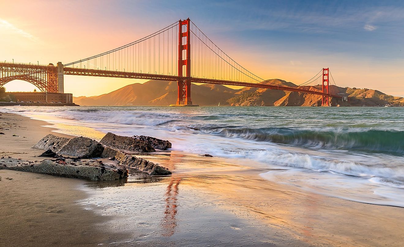
Coastal Plain: The Coastal Plain region, stretching along the Gulf of Mexico and looms as far as Dallas and San Antonio, is predominantly flat and features several significant river basins, including the Rio Grande, which forms the border with Mexico. This region is characterized by its proximity to the coast, with its landscape shaped by the processes of coastal and river erosion and deposition. Notable features include the extensive marshes and estuaries near the coastline. The Coastal Plain descends to the state's lowest point at sea level along the Gulf of Mexico. Last, the plain contains the Balcones Fault zone which is located in the central region of Texas and runs along the I-35 corridor between Austin and San Antonio. It is an old fault line that has caused significant geological changes in this area over time.
Islands and Major Bodies of Water: Texas's geography is also defined by its numerous bodies of water. Major rivers include the Rio Grande, the Pecos, the Brazos, the Colorado, and the San Antonio. These rivers play a crucial role in shaping the landscape of the state, carving out valleys and creating fertile floodplains. Additionally, Texas contains several major lakes, such as Lake Texoma, Toledo Bend Reservoir, and Sam Rayburn Reservoir, which are integral to the state's water supply and recreational activities.
Counties Map

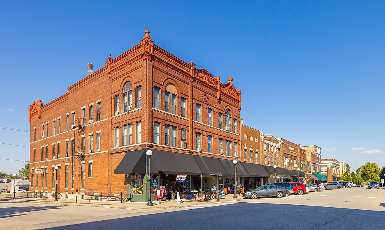
The State of Texas is divided into 254 counties. In alphabetical order, these counties are: Anderson, Andrews, Angelina, Aransas, Archer, Armstrong, Atascosa, Austin, Bailey, Bandera, Bastrop, Baylor, Bee, Bell, Bexar, Blanco, Borden, Bosque, Bowie, Brazoria, Brazos, Brewster, Briscoe, Brooks, Brown, Burleson, Burnet, Caldwell, Calhoun, Callahan, Cameron, Camp, Carson, Cass, Castro, Chambers, Cherokee, Childress, Clay, Cochran, Coke, Coleman, Collin, Collingsworth, Colorado, Comal, Comanche, Concho, Cooke, Coryell, Cottle, Crane, Crockett, Crosby, Culberson, Dallam, Dallas, Dawson, De Witt, Deaf Smith, Delta, Denton, Dickens, Dimmit, Donley, Duval, Eastland, Ector, Edwards, El Paso, Ellis, Erath, Falls, Fannin, Fayette, Fisher, Floyd, Foard, Fort Bend, Franklin, Freestone, Frio, Gaines, Galveston, Garza, Gillespie, Glasscock, Goliad, Gonzales, Gray, Grayson, Gregg, Grimes, Guadalupe, Hale, Hall, Hamilton, Hansford, Hardeman, Hardin, Harris, Harrison, Hartley, Haskell, Hays, Hemphill, Henderson, Hidalgo, Hill, Hockley, Hood, Hopkins, Houston, Howard, Hudspeth, Hunt, Hutchinson, Irion, Jack, Jackson, Jasper, Jeff Davis, Jefferson, Jim Hogg, Jim Wells, Johnson, Jones, Karnes, Kaufman, Kendall, Kenedy, Kent, Kerr, Kimble, King, Kinney, Kleberg, Knox, La Salle, Lamar, Lamb, Lampasas, Lavaca, Lee, Leon, Liberty, Limestone, Lipscomb, Live Oak, Llano, Loving, Lubbock, Lynn, Madison, Marion, Martin, Mason, Matagorda, Maverick, McCulloch, McLennan, McMullen, Medina, Menard, Midland, Milam, Mills, Mitchell, Montague, Montgomery, Moore, Morris, Motley, Nacogdoches, Navarro, Newton, Nolan, Nueces, Ochiltree, Oldham, Orange, Palo Pinto, Panola, Parker, Parmer, Pecos, Polk, Potter, Presidio, Rains, Randall, Reagan, Real, Red River, Reeves, Refugio, Roberts, Robertson, Rockwall, Runnels, Rusk, Sabine, San Augustine, San Jacinto, San Patricio, San Saba, Schleicher, Scurry, Shackelford, Shelby, Sherman, Smith, Somervell, Starr, Stephens, Sterling, Stonewall, Sutton, Swisher, Tarrant, Taylor, Terrell, Terry, Throckmorton, Titus, Tom Green, Travis, Trinity, Tyler, Upshur, Upton, Uvalde, Val Verde, Van Zandt, Victoria, Walker, Waller, Ward, Washington, Webb, Wharton, Wheeler, Wichita, Wilbarger, Willacy, Williamson, Wilson, Winkler, Wise, Wood, Yoakum, Young, Zapata, and Zavala.
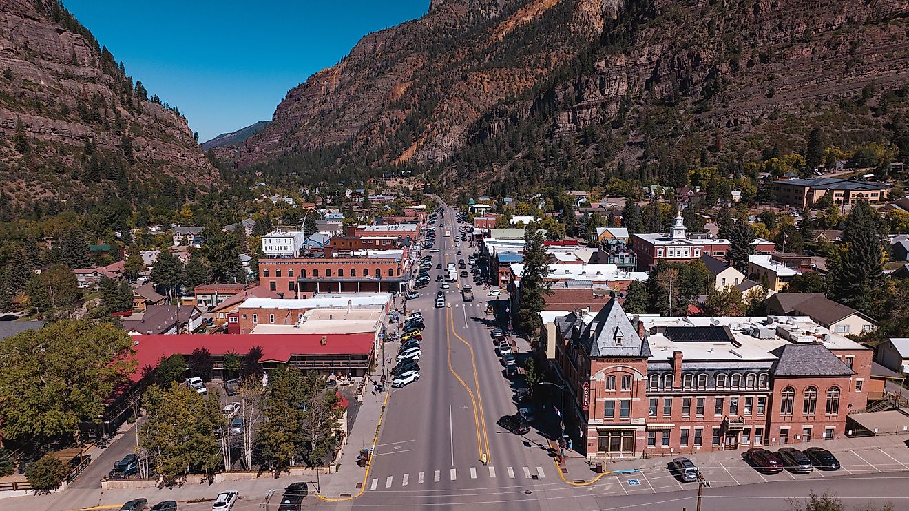
With an area of 696,200 sq.km, Texas is the 2nd largest state in the USA both by population and land area. Located in the south-central part of the state, at the bottom of the Balcones Escarpment on the Colorado River is Austin – the capital city of Texas. It serves as the cultural, administrative, and economic center of the state. Situated in the southeastern part of the state is Houston – the largest and the most populous city in Texas. It serves as the most diverse city of the state and is home to the Johnson Space Center – NASA’s official visitor center. Houston is also known for its thriving visual and performing arts center.
Where is Texas?

The State of Texas is located in the southern Gulf-coast region of the United States. Texas is bordered by the state of Oklahoma in the north, by Arkansas in the northeast, by Louisiana in the east, by New Mexico in the west, and by the Mexican states (Coahuila, Chihuahua, Nuevo León, and Tamaulipas) in the south and southwest. It is also bounded by the crescent-shaped coastline of the Gulf of Mexico in the southeast.
Regional Maps: Map of North America
Outline Map of Texas

The above blank map represents the State of Texas, located in the southern Gulf-coast region of the United States. The above map can be downloaded, printed and used for geography education purposes like map-pointing and coloring activities.

The above outline map represents the State of Texas, located in the southern Gulf-coast region of the United States. Texas has been nicknamed as the "Lone Star State".
Key Facts
| Legal Name | State of Texas |
|---|---|
| ISO 3166 Code | US-TX |
| Capital City | Austin |
| Major Cities |
|
This page was last updated on January 18, 2024