Maps of Colorado

Colorado is a landlocked state located in the central United States. It borders Kansas in the east, Utah in the west, Arizona in the southwest, Nebraska and Wyoming in the North, and New Mexico and Oklahoma in the south. It is one of only three states with straight latitude and longitude lines for its borders.
Colorado’s name comes from Spanish, meaning “colored red” after the region’s red sandstones. It also has the nickname, “The Centennial State”, originating from being the 38th state incorporated into the Union in 1876, 100 years after the country’s independence. Many people refer to it as “Colorful Colorado” as well, due to its diverse scenery of rivers, mountains, and plains.
Area
Colorado has a land area of 104,094 mi² (269,602 km²), making it the eighth largest state in the US. It is about nine times larger than Belgium and half the size of France. Compared to other US States, it is about three times the size of Maine.
Population and Cities
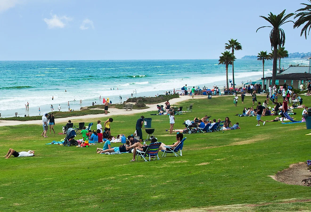
Colorado has a population of a little over 5.8 million people, making it the country's 21st most populous state. The capital is Denver, which is also the most populous city with a little over 700,000 residents. Other large cities in the state include Colorado Springs and Aurora.
Geographic Regions
The Great Plains
The Great Plains stretch from the Kansas-Nebraska border in the East through Central Colorado. It consists of flat, grassy high plains, home to many ranches and farms. More towards the state's center, the Great Plains also incorporates the Colorado Piedmont, a hilly terrain transitioning between the flat plains and the Rocky Mountains.
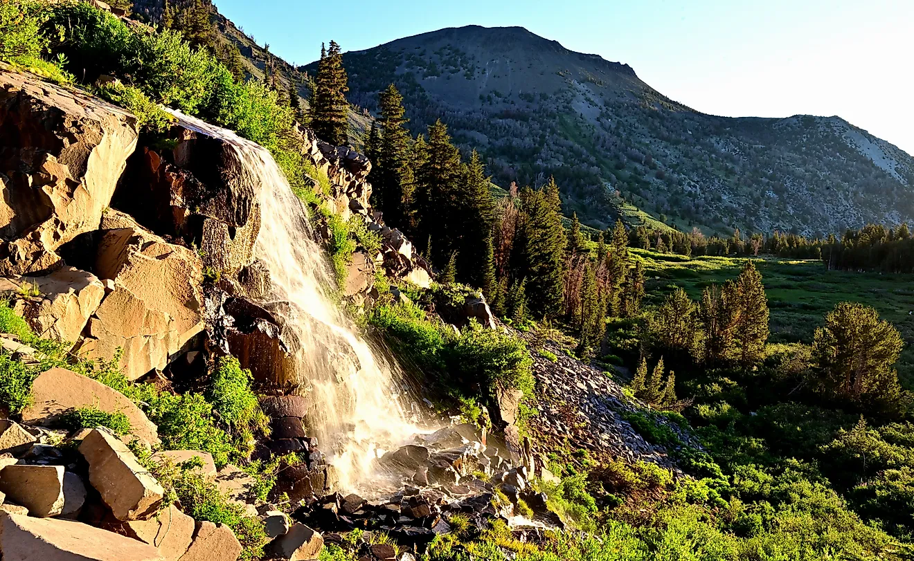
The Rocky Mountains
The Rocky Mountains region extends from the state’s northwest corner through the southcenter. An array of mountain ranges compose the area, including Front Range, San Juan, Medicine Bow, and Sawatch. The mountain ranges here generally have very high elevations compared to the more northern Rockies.
The Colorado Plateaus
Just west of the Rocky Mountains lie the Colorado Plateaus, a lengthy, arid tableland with tall plateaus ranging from 4,000 to 8,000 feet (1,200 to 2,400 meters) in height. Mountain peaks in this zone also tower, some rising over 12,000 feet (3,700 meters) high.
The Wyoming Basin
The Wyoming Basin is a flat plateau that interrupts the Rocky Mountains in Northwest Colorado. The altitude of this region, however, remains high. It also has some lower, isolated mountains throughout. It consists of a semiarid climate, presenting hot summers and cold winters. Sagebrush steppe covers much of the dry terrain.
Counties Map

The State of Colorado is divided into 64 counties. In alphabetical order, these counties are: Adams, Alamosa, Arapahoe, Archuleta, Baca, Bent, Boulder, Broomfield, Chaffee, Cheyenne, Clear Creek, Conejos, Costilla, Crowley, Custer, Delta, Denver, Dolores, Douglas, Eagle, El Paso, Elbert, Fremont, Garfield, Gilpin, Grand, Gunnison, Hinsdale, Huerfano, Jackson, Jefferson, Kiowa, Kit Carson, La Plata, Lake, Larimer, Las Animas, Lincoln, Logan, Mesa, Mineral, Moffat, Montezuma, Montrose, Morgan, Otero, Ouray, Park, Phillips, Pitkin, Prowers, Pueblo, Rio Blanco, Rio Grande, Routt, Saguache, San Juan, San Miguel, Sedgwick, Summit, Teller, Washington, Weld, and Yuma.
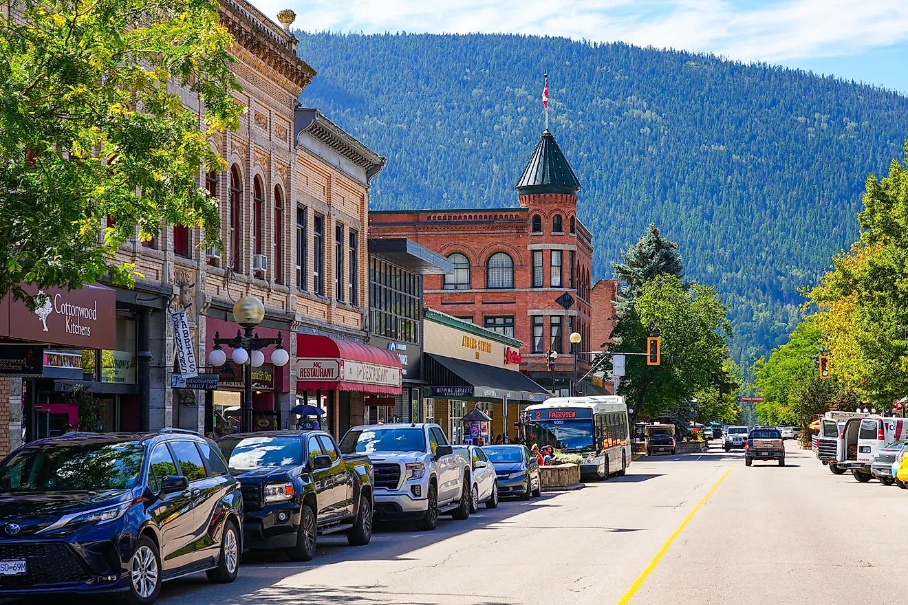
With an area of 269,837 sq. km, Colorado is the 8th largest and the 21st most populous state in the USA. Located in the South Platte River Valley, Denver is the capital, the largest, and the most populous city in Colorado. Since the elevation of Denver is exactly one mile above sea level, it has been nicknamed the “Mile High City”.
Denver serves as an industrial, cultural, commercial, manufacturing, and transportation hub of the state. The city hosts many mining and energy companies, due to its location near the mineral-rich Rocky Mountains. The capital city is known for beer brewing and it also functions as an important business hub for several large companies that are active in the central United States.
Where is Colorado?

The State of Colorado is located in the west-central region (or Mountain State area) of the United States. The landlocked state is bordered by the states of Utah in the west, by Wyoming in the north, by Nebraska in the northeast, by Kansas in the east, by Oklahoma in the southeast, by New Mexico in the south and by Arizona in the southwest.
Regional Maps: Map of North America
Outline Map of Colorado

The above blank map represents the State of Colorado, located in the west-central region (or Mountain State area) of the United States. The above map can be downloaded, printed and used for geography education purposes like map-pointing and coloring activities.

The above outline map represents the State of Colorado, located in the west-central region (or Mountain State area) of the United States.
Key Facts
| Legal Name | State of Colorado |
|---|---|
| ISO 3166 Code | US-CO |
| Capital City | Denver |
| Major Cities |
|
This page was last updated on May 21, 2024