Brahmaputra River
The Brahmaputra River is a long transboundary river in the Continent of Asia that flows through the Tibet Autonomous Region of China, India, and Bangladesh. The river originates in the Lake Manasarovar region close to Mount Kailash and then flows for more than 3,969km within the boundaries of the Tibet Autonomous Region, India, and Bangladesh, and finally drains into the Bay of Bengal. The Brahmaputra River is considered the 15th longest river and the 9th largest river in the world by discharge volume. The Brahmaputra River and its tributaries provide significant ecological, cultural, and economic services to millions of people residing in Tibet (China), North-eastern India, and Bangladesh.
Geography

The headwaters of the Brahmaputra River originate from the Angsi Glacier that is located close to Mount Kailash on the northern edge of the Himalayas, in the Burang County of Tibet Autonomous Region. After originating from its source, the river flows in the eastern direction for about 1,100km passing between the Kailash Range in the north and the main range of the Himalayas in the south. While flowing within the boundaries of the Tibet Autonomous Region, the river is referred to as “Yarlung Tsangpo”. It is estimated that in Tibet, the Yarlung Tsangpo river receives about 22 major tributaries. Some of these most significant tributaries are the Raka Zangbo, Lhasa, Xigazê, Nyang River, Nyang Qu, etc.

The river then turns to the north and northeast direction, where it flows through a series of narrow gorges formed between the mountainous massifs of Namcha Barwa and Gyala Peri in the eastern Himalayan range. From here, the river turns to the south and southwest direction and passes through the 504.6km long “Yarlung Tsangpo Grand Canyon”, which is considered as one of the largest and the deepest canyons in the world. After passing through the “Yarlung Tsangpo Grand Canyon”, the river crosses the China-India LOC near the Indian village of Gelling and enters the northern region of the Indian State of Arunachal Pradesh.

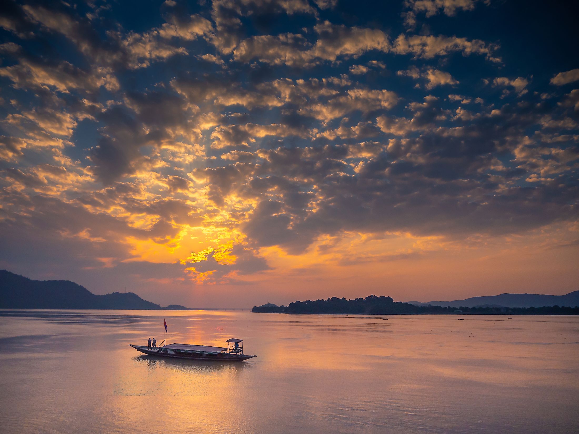
While flowing within the boundaries of Arunachal Pradesh, the river is referred to as “Siang”. The river then makes a very speedy plunge from its initial elevation in the Tibetan region and finally emerges in the plains, where it is referred to as “Dihang”. The Dihang River then continues its southward journey for about 35km at the head of the Assam Valley, where it is joined by the Dibang River and the Lohit River. After its confluence with the Lohit River, the Dihang River is referred to as “Brahmaputra”, literally meaning, “the son of Brahma”, who is one of the Supreme Gods of the Hindus. The indigenous Bodo tribals refer to the Brahmaputra River as “Burlung-Buthur”. The Brahmaputra River then enters the Indian State of Assam, where it meets the Jia Bhoreli/Kameng River in the Sonitpur District. In Assam, the Brahmaputra River is also known by several other names such as ‘Luit’, ‘Bor Luit’, ‘Siri Luit’, Dilao, etc. While flowing within the boundaries of Assam, the width of the river increases to about 20m in some areas.

In Assam, the mighty Brahmaputra River flows as a “braided river” for its entire 700km course through the Assam Valley. Here, the river receives several swift-flowing Himalayan streams including Subansiri, Dhansiri, Manas, Bhareli, Champamati, Saralbhanga, Sankosh, Burhi Dihing, Dikhu, etc. The Brahmaputra River has an average depth of 30m and reaches a maximum depth of 135m at the town of Sadiya in Assam. Between the Lakhimpur and Dibrugarh districts of the state, the Brahmaputra River separates into two distinct streams forming the Brahmaputra Channel in the south and the Kherkutia Channel in the north. The two channels join together again about 100km downstream, resulting in the formation of the Majuli Island, which is considered the largest riverine island in the world.

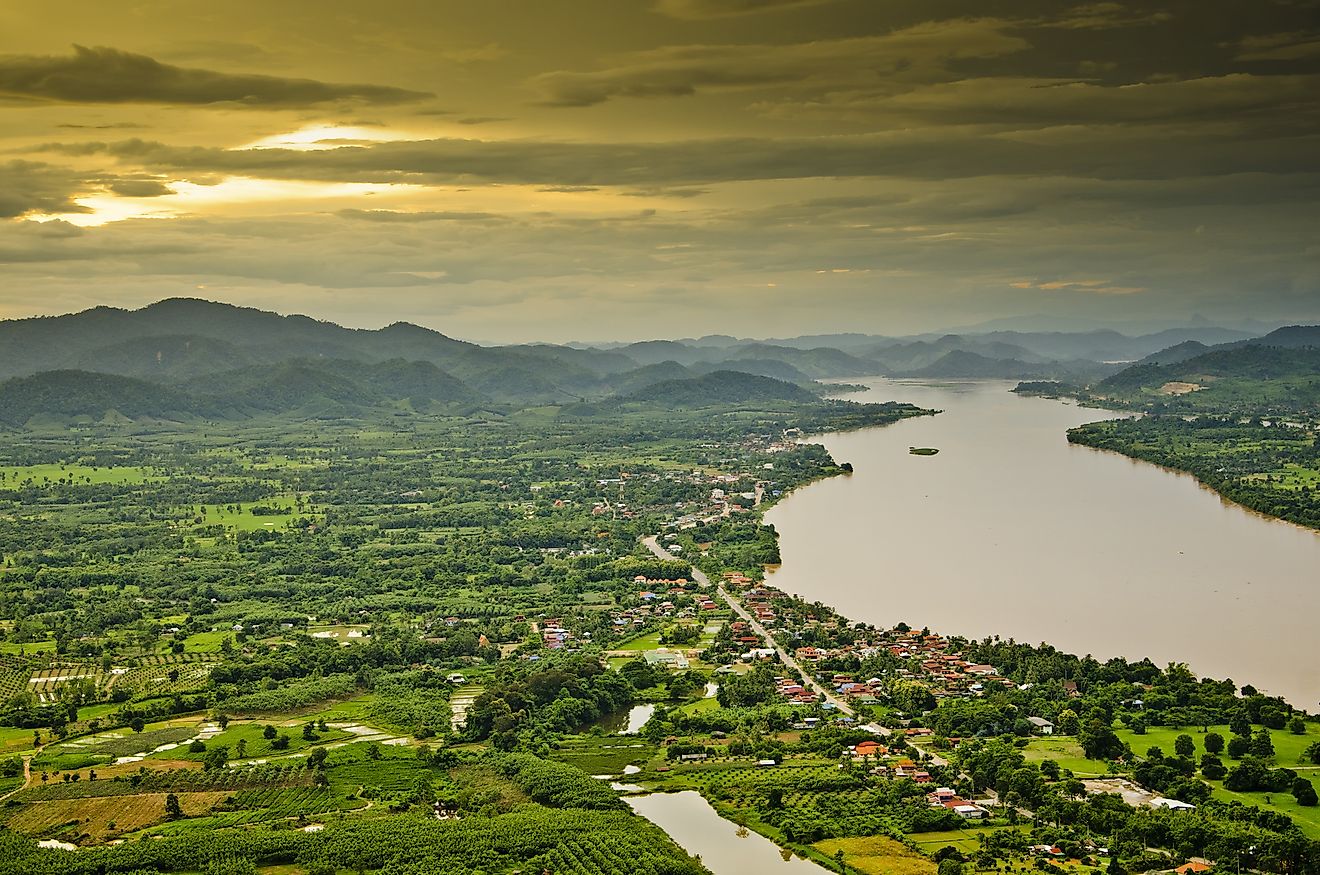
The river then turns southwards around the Garo Hills and enters the plains of Bangladesh. Here, the Brahmaputra River is joined by the Teesta River, which is one of its largest tributaries. After its joining with the Teesta River, the Brahmaputra River separates into two distributary branches. The western branch containing the major part of the river’s flow continues its southward journey where it is referred to as the “Jomuna River”, which ultimately merges with the lower Ganges or the Padma River at Goalundo Ghat. The smaller eastern branch, which is referred to as “Old Brahmaputra”, flows in the southeast direction and joins the Meghna River. The combined flow of the Padma-Jomuna Rivers joins the Meghna River near the district of Chandpur. The three rivers then flow through the delta region to enter the Meghna Estuary and ultimately drain into the Bay of Bengal.
The Brahmaputra River Basin

The Brahmaputra River alone contributes about half of the total 30,770 cubic meters per second mean annual discharge of the Ganges-Brahmaputra-Meghna River system, making it the world’s joint 3rd largest river system in terms of its mean annual discharge. The combined suspended sediment load of the rivers is about 1.84 billion tons per year, which is considered to be the highest in the world. The Brahmaputra River basin is spread over the four countries of China (Tibet Autonomous Region), Bhutan, India, and Bangladesh, with a total basin area of 580,000 sq. km. Of this entire area, about 50.5% lies in Tibet, 7.8% in Bhutan, 33.6% in India, and 8.1% in Bangladesh. In India, the total drainage basin of the Brahmaputra River is about 197,316 sq. km, which accounts for 5.9% of the entire geographical area of the country. According to a study conducted by IIT Roorkee, the Brahmaputra River, throughout its entire course receives about 22 major tributaries in Tibet, 33 major tributaries in India, and 3 major tributaries in Bangladesh.
Geology, Climate, and Ecology of the Brahmaputra Basin

Geologically, the Brahmaputra River is considered one of the youngest rivers in the world. Due to the collision of the Eurasian and Indian tectonic plates, the Brahmaputra valley and its adjoining hill ranges are seismically active. These frequent earthquakes cause extensive landslides, subsidence, and fissuring of the valley as well as lead to a change in the course of the main river and its tributaries. The climate of the Brahmaputra valley varies from severe cold climatic conditions in Tibet to the hot and humid conditions in India and Bangladesh. The Brahmaputra River is also affected by the melting of snow in the higher catchment areas during the early summer months and by the runoff from the monsoon rainfall during the late summer months. The Brahmaputra River is also one of the few rivers in the world that displays a tidal bore. From June to October, during the monsoon season, the Brahmaputra valley is highly prone to flooding. Also, during this period, tropical storms are a common occurrence in the delta region.

In the higher reaches of the river, close to the Tibetan Plateau, the vegetation consists of mainly drought-resistant grasses and shrubs. As the river descends from the higher elevations to the plains, the increased precipitation supports the growth of Sal forests. At the lower reaches, swamps are found. Several species of fish like chital, mrigal, pabda, etc are found in the river waters. The forests along the Brahmaputra River support many notable mammals like the one-horned rhinoceros, elephants, leopards, deer, wild buffalo, and Bengal tigers.