The Only Interstate That Runs From Mexico To Canada
Interstate 5 is the only Interstate highway in the country that reaches both the Mexican and Canadian borders. It begins at the San Ysidro Port of Entry in San Diego, at the line with Mexico. It ends 1,381 miles north at the Peace Arch crossing in Blaine, Washington. Most people know it as the daily crawl into Los Angeles or the slog through downtown Seattle. Those same commuter lanes run the full length between the two countries. The complete route is younger than it looks, and the last gap opened near Stockton in 1979.
The Border Crossings at Each End

The southern end of I-5 is the San Ysidro Port of Entry, where Mexican Federal Highway 1 from Tijuana meets the U.S. border. The General Services Administration calls it the busiest land port of entry in the Western Hemisphere, and northbound traffic is processed at 62 inspection booths spread across 34 lanes. The agency puts the daily load at about 70,000 northbound vehicles, so for many drivers bound for Los Angeles or beyond, the wait at those booths comes before the first mile of the Interstate.
The northern end is the Peace Arch Border Crossing in Blaine, where the road on the Canadian side becomes British Columbia Highway 99, the route to Vancouver. The 67-foot concrete arch, dedicated in 1921, stands on the exact boundary in the grass median between the northbound and southbound lanes, and its U.S. side is inscribed with the words "Children of a common mother." Visitors to the park around the arch can walk across the border without a passport, as long as they stay inside the park and leave into the country they entered from.
Why the Other Border Interstates Fall Short

The record depends on a strict test, which is whether the official route number itself reaches a port of entry at both ends. Several Interstates touch just one of the borders. Interstate 15 reaches Canada at Sweet Grass, Montana, where the road becomes Alberta Highway 4, but its southern terminus is at Interstate 8 in San Diego, and drivers have to switch to State Route 15 and then I-5 to get to Mexico. Interstate 29 also ends at the Canadian line, near Pembina, North Dakota, while its southern end is in Kansas City, Missouri.
Two other routes start at or near the Mexican border and never reach Canada. Interstate 35 begins at a traffic signal in Laredo, Texas, just short of the border, and ends in Duluth, Minnesota. On Interstate 19, the southern end is about 300 feet from the border in Nogales, Arizona, and the northern end is 63 miles away at Interstate 10 in Tucson. The I-69 system comes closer on paper, with its main route reaching Canada at Port Huron, Michigan, and branches signed I-69E and I-69W ending near the Mexican border at Brownsville and Laredo in Texas. Those branches carry different route numbers, though, and the system is still built in disconnected segments.
The Highway That Came Before I-5

A highway linking both borders existed on the West Coast decades before the Interstate. U.S. Route 99, assigned in 1926, ran between Calexico, California, on the Mexican border and Blaine on the Canadian border, and it was known as "The Main Street of California." Much of I-5 was built along its path. The big departures came south of Los Angeles, where the old route ran inland through Indio to reach Mexico at Calexico, and in the Central Valley. US 99 was retired in stages starting in 1964, with the last segments gone by 1972.
The first section of the Golden State Freeway, now part of I-5, opened in 1957 between Griffith Park and Burbank, and finishing the rest of the Interstate took another 22 years. Oregon's share was done in 1966 and Washington's in 1969, while California still had a gap in the Central Valley. That gap, near Stockton, opened to traffic on October 12, 1979, at a dedication attended by Canadian and Mexican representatives to mark what was billed as the first contiguous freeway linking the three countries.
1,381 Miles Across Three States

California holds about 797 miles of I-5, more than half of the total, which makes it the longest Interstate in the state. Oregon has about 308 miles and Washington about 277, and the major metro areas along the way are San Diego, Los Angeles, Sacramento, Portland, and Seattle.
Some rural sections have only four lanes, while parts of Orange County, widened in stages since the 1990s to handle heavy traffic, are 22 lanes wide. North of Oceanside, about 18 miles of I-5 lie along the Pacific shoreline inside Marine Corps Base Camp Pendleton, beside San Onofre State Beach. In downtown Seattle, the freeway is 13 lanes wide, including express lanes in the median whose direction is switched depending on the time of day, so the extra capacity goes to whichever way most commuters are heading.
A Central Valley Route Far From the Big Cities

The Central Valley is one of the two places where I-5 was built away from the old US 99 corridor, which is why Bakersfield, Fresno, and Modesto are not on the Interstate. Those cities lie along State Route 99, built on the old US 99 route through the valley's eastern, more populated side. In the Sacramento Valley farther north, the old highway had split into two branches, and today I-5 lies roughly on the western one, US 99W, while SR 99 follows the eastern one. South of Woodland, I-5 was placed along the remote western edge of the San Joaquin Valley as the West Side Freeway, so the stretch between Wheeler Ridge and Woodland passes near smaller towns such as Coalinga and Los Banos.
Snow Falls on the Two Highest Passes
Tejon Pass, at 4,144 feet, is the second-highest point on I-5 and the crossing between the Los Angeles area and the San Joaquin Valley. North of the pass, the elevation drops more than 2,600 feet over 12 miles to the community of Grapevine, and the town and the grade both take their name from Grapevine Canyon, where wild grapes grew. Snow typically falls on the higher sections in winter, and because of the steep grade and the heavy mix of passenger cars and big rigs, the California Highway Patrol usually closes the segment outright when it does. Drivers caught on the Los Angeles side can turn around at an automated median gate in Castaic, and the other choice is a detour that can take hours.
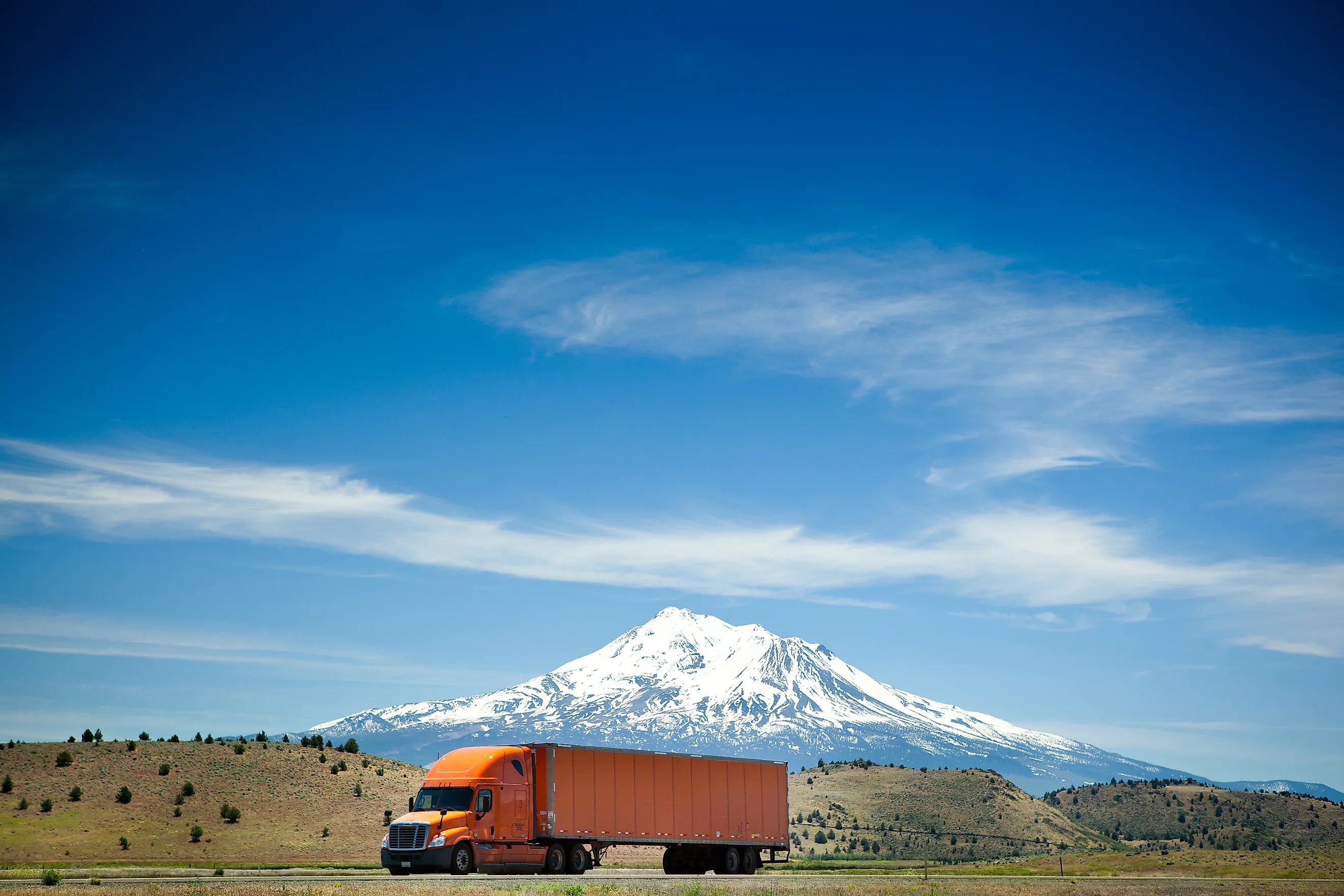
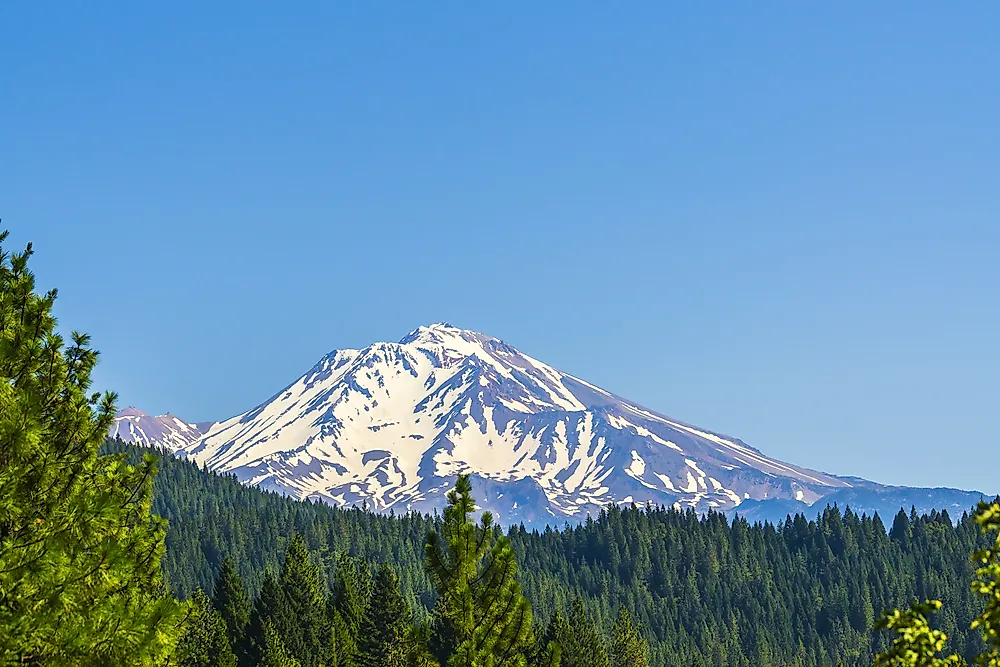
North of Redding, past the Pit River Bridge over Shasta Lake, the elevation rises toward the foot of Mount Shasta, and snow is common on the higher sections between fall and spring. Siskiyou Summit, about 4 miles into Oregon, is the highest point on I-5 at 4,310 feet. On the north side, toward Ashland, the elevation falls about 2,300 feet over 6 miles on a 6 percent grade.
A Lift Bridge Over the Columbia River

Between Portland and Vancouver, Washington, I-5 crosses the Columbia River on the Interstate Bridge, a pair of steel vertical-lift spans that opened in 1917 and 1958 and carried about 133,700 vehicles a day in 2023. When a lift span is raised for river traffic, cars and trucks have to wait, which makes this the only point on I-5 where vehicles stop for cross traffic.
In January 2026, the U.S. Coast Guard approved a fixed-span replacement with 116 feet of clearance over the river, high enough that no lift is needed. Federal approval followed in July 2026, and with a contractor now being selected, construction is expected to start in 2028 and take six to seven years.
The record held by I-5 rests on its two endpoints, and only the northern one, at Blaine, carried over unchanged from US 99. Under the old highway, the road to Mexico ran east of Los Angeles along the route of today's Interstate 10, then south past Indio, ending at the border crossing in Calexico. I-5 was routed toward the coast instead, through Orange County and along the beach at Camp Pendleton, which put its southern end at San Ysidro and made one of the busiest border crossings in the Americas part of the same road that serves Seattle. The next change is planned at the Columbia River, where the fixed span, likely open by the mid-2030s, will remove the one spot where I-5 traffic stops for boats, so a driver headed north from San Ysidro will meet no bridge lift before reaching the Peace Arch.