The First National Park Road In The United States
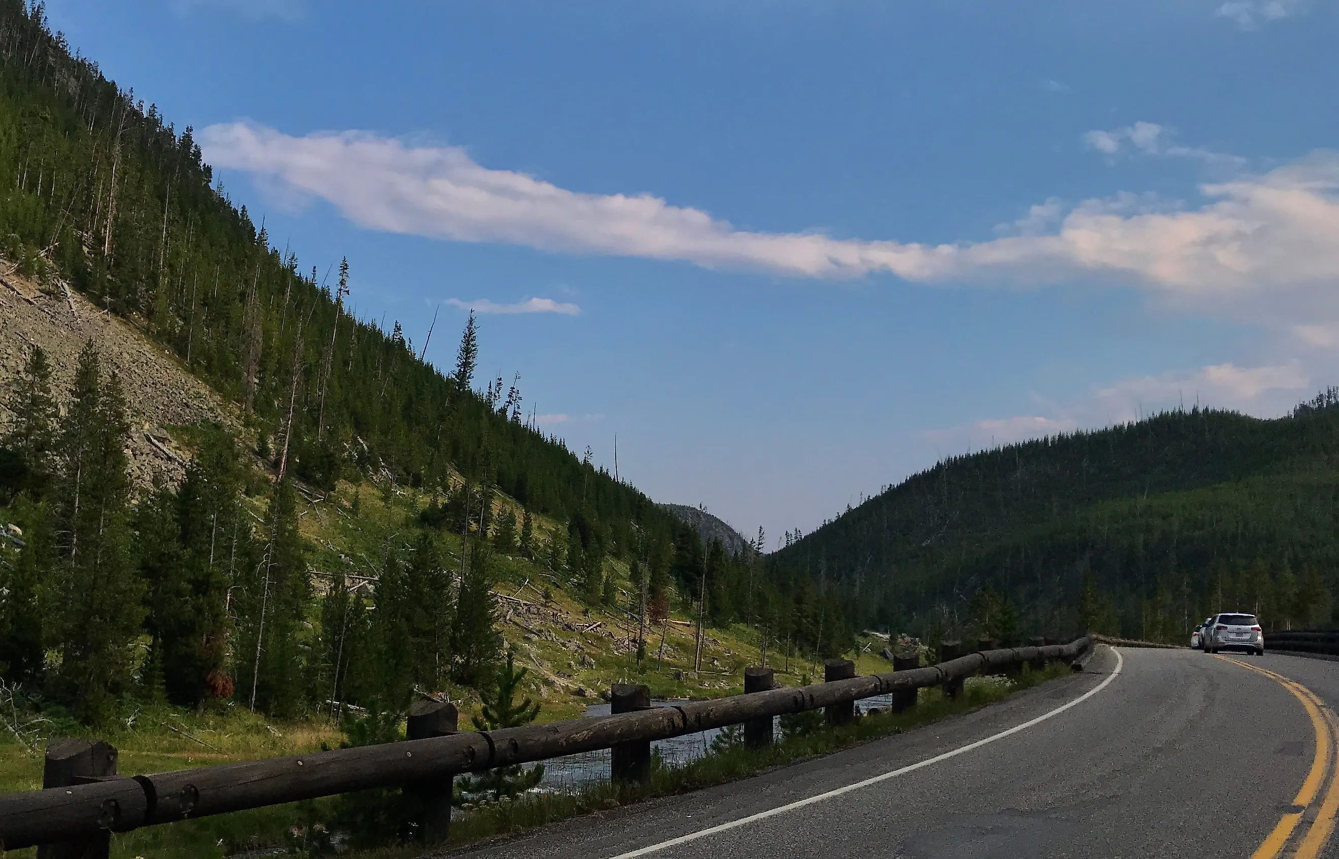
The first road system built inside an American national park to carry the public to its scenery was the Grand Loop Road in Yellowstone National Park, Wyoming. Federal road building began in 1878, six years after the park was created, and the work continued in pieces until about 1905, when the route settled into the roughly 140-mile figure eight that still carries almost every visitor through the park today.
That claim rests on a specific definition, and it is worth stating plainly: the Grand Loop was the first road system planned, funded, and built by the federal government inside a national park for the purpose of reaching that park's scenic features. However, if the question is which road first reached a national park, two privately built wagon roads of 1873 beat it.
If it is which wagon road first entered a federally protected scenic reserve, Yosemite's Coulterville Road of 1874 has a case.
How the Grand Loop Became the First

When Yellowstone was established on March 1, 1872, there was no road network waiting for visitors. The park's first superintendent, Nathaniel P. Langford, received no money at all, and travelers crossed the park on rough trails and primitive wagon tracks. That changed under Superintendent Philetus W. Norris in 1878 when Congress gave him the park's first road government funding of $10,000 to push a wagon road south from Mammoth Hot Springs to the Lower Geyser Basin.
That project became the first permanent road in Yellowstone, and Norris' surveys over the next two seasons sketched the shape of everything that followed. His stated ambition, set out in his 1877 report, was a single wagon road touching Tower Falls, Mount Washburn, the Yellowstone Falls, the lake, and the Firehole basins.
The idea of a circuit strung between the park's attractions, rather than a line from a gate to a single destination, started there. Construction was not one continuous project. Sections were surveyed, graded, abandoned, and rebuilt over roughly three decades.
On August 13, 1883, First Lieutenant Dan C. Kingman of the U.S. Army Corps of Engineers arrived at Mammoth after Congress handed park improvements to the Corps, and he set Yellowstone's first formal road and bridge standards. Captain Hiram M. Chittenden, the park's engineer officer in 1891 to 1893 and again from 1899 to 1906, then rebuilt and connected most of the system.
By 1905, the interior roads had hardened into the figure-eight configuration known ever since as the Grand Loop, linking Mammoth, the geyser basins, Yellowstone Lake, the Grand Canyon of the Yellowstone, and Tower Fall.
Building Roads Through Yellowstone

Laying road across Yellowstone was nothing like laying road across open country. Kingman described the park as presenting almost every obstacle nature could offer a road builder: steep mountains, dense forest, canyons, marshes, heavy snow, and hot-spring formations that he judged as the worst road material he had ever encountered.
Early results were rough. Wet ground was crossed with corduroy construction, logs laid side by side to float a surface over the mud. Elsewhere crews needed bridges, steep grades, heavy clearing, and cuts through rock. Kingman's 228-foot wooden trestle through Golden Gate Canyon, finished in 1885, was the era's signature piece of engineering in the park.
Chittenden's much larger program in the 1890s and early 1900s replaced most of that improvised work with surveyed alignments and engineered structures. What made it influential beyond Yellowstone was not only the technique but the principle behind it, stated by Kingman and repeated by Chittenden: the park should be kept as nearly as possible as nature left it, a source of pleasure to everyone and of wealth to no one.
That idea, applied to road location and design, became the starting point for national park road standards elsewhere.
From Wagon Roads to Automobile Roads

The Grand Loop was built for horses, wagons, and stagecoaches. After the Northern Pacific's branch line reached Cinnabar, Montana, near the northern boundary in 1883, most visitors arrived by train and transferred to a stagecoach for a scheduled multi-day tour of the park.
Private automobiles were not admitted until August 1, 1915, and only then over a carefully controlled one-way route. Their arrival changed the demands on the road system almost immediately. Alignments built around the turning radius and speed of a wagon had to be widened, resurfaced, and, in places, relocated.
Reconstruction has continued ever since, and the National Park Service notes that modern work has altered the appearance of parts of the road while much of the historic design and many historic features remain.
What the Grand Loop Looks Like Today

The Grand Loop is still Yellowstone's main internal road. Its National Register nomination measures the historic district at 140.14 miles and describes a road that keeps essentially the configuration it was first built in, with only small sections abandoned or converted to scenic spurs.
Some stretches follow routes laid out under Norris; others were substantially realigned later, including Mission 66 bypasses around Norris Geyser Basin in the 1960s and around Old Faithful by 1969. Historic bridges and other early structures survived along the way.
The Grand Loop Road Historic District was added to the National Register of Historic Places on December 23, 2003. It remains a working transportation corridor rather than a preserved relic.
Most park roads close to ordinary vehicles in winter, while the route between the North Entrance at Gardiner, Montana, and Cooke City, Montana, generally stays open year-round. Seasonal closures and construction affect other sections.
Other Roads That Claim the Title

Yellowstone had roads before federal money arrived. In 1873, Gilman Sawtell, who ran a hotel near Henry's Lake, persuaded Virginia City businessmen to fund a wagon road from Virginia City, Montana, over Targhee Pass and up the Madison to the Lower Geyser Basin. He called it the Virginia City and National Park Free Road to distinguish it from a toll road Bozeman interests were building the same year down the Yellowstone River through Yankee Jim Canyon to Mammoth Hot Springs.
Both were private commercial ventures aimed at capturing tourist traffic, neither was federally planned or administered, and by 1877, Sawtell's road had deteriorated to the point that visitors described it as barely passable.
Older routes predate all of them. Indigenous travel routes crossed the Yellowstone plateau long before 1872, and several early wagon tracks followed them. Norris's crews improved existing paths as often as they cut new ones.
The strongest claim from outside Yellowstone belongs to Yosemite. The Coulterville Road reached the floor of Yosemite Valley on June 17, 1874, four years before Norris broke ground, and the Big Oak Flat Road followed within a month.
However, Yosemite Valley was then a state-administered grant, not a national park, and it did not become one until 1890. Both roads were private toll ventures, built to carry stagecoach passengers for profit rather than laid out by the government that owned the land.
The Road That Shaped Park Travel
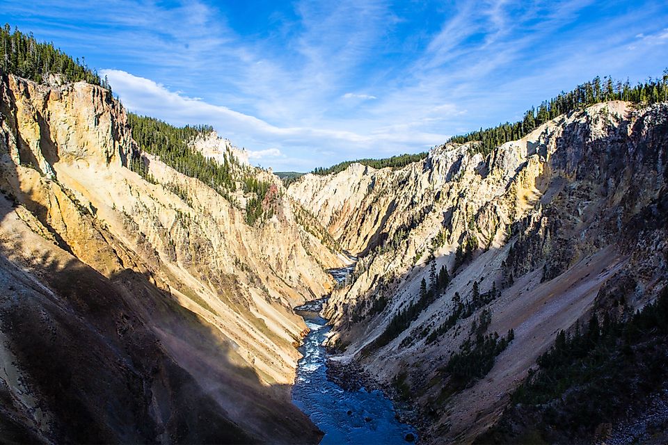
The Grand Loop changed what a park road could be. Rather than running a corridor from an entrance to a single attraction, Yellowstone's builders assembled a circuit around the landscape, so that geyser basins, lakes, waterfalls, and mountain country became stops on one continuous route. Federal engineers carried that model into the parks that followed.
Yellowstone's engineers were solving a problem several decades before the scale of it became obvious, in a park that now receives millions of visitors a year.
More than a century later, the Grand Loop still carries the original idea: the first national park in the United States also produced the first road system designed around the experience of moving through a protected landscape.