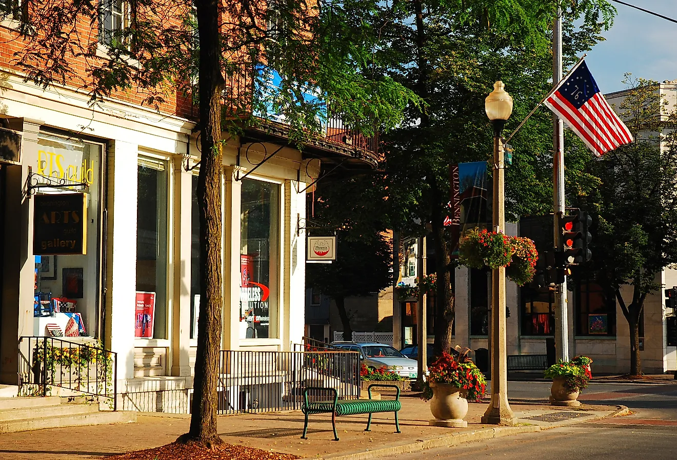
9 Most Scenic Drives in The Adirondack Mountains
Not every journey in New York’s Adirondack Mountains begins with a trailhead. Some start with the hum of tires on pavement, the windows down, and the cool mountain air rushing in as you round another curve that promises something unforgettable. Stretching across the northern reaches of the state, this vast region of peaks, pines, and lakes is laced with roads that turn ordinary drives into full-blown adventures, complete with winding passes, historic byways, and roadside stops that make you linger. Here are nine routes that prove you can experience the magic of the Adirondacks from behind the wheel.
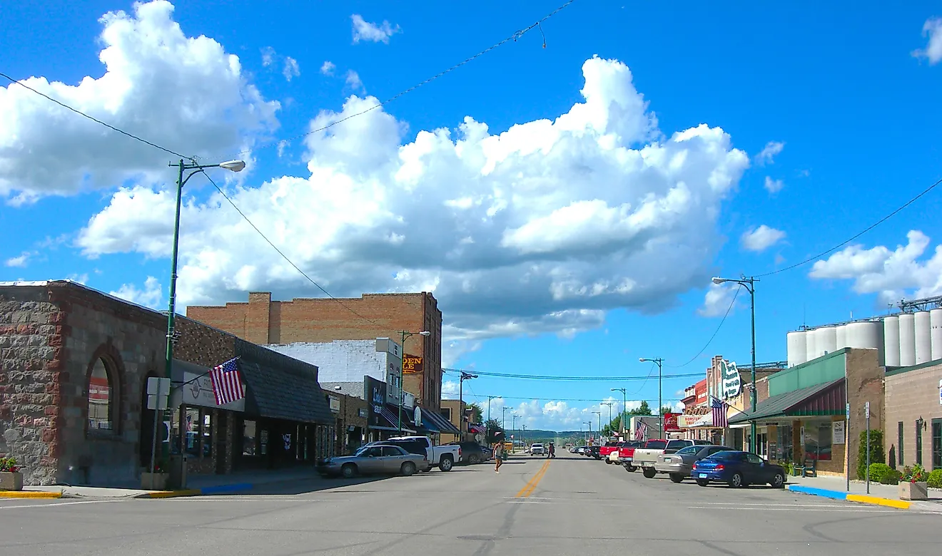
Central Adirondack Trail

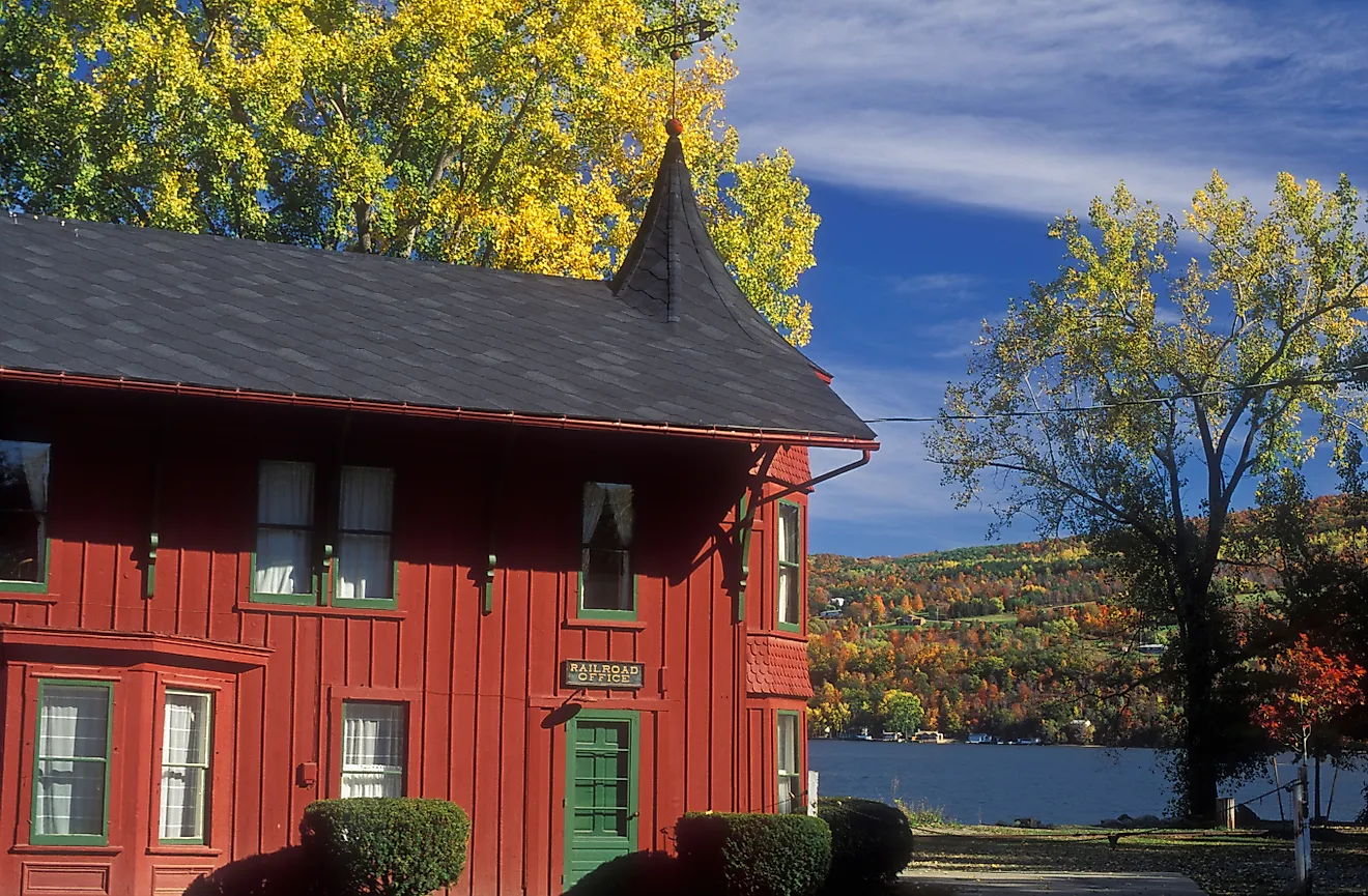
The Central Adirondack Trail provides mountain beauty and historical depth across approximately 150 miles. The route begins in Glens Falls, just southeast of Adirondack Park, a six-million-acre expanse of public and private land that’s larger than Yellowstone, Yosemite, and the Grand Canyon combined. Entering the park near Warrensburg, rolling foothills give way to forested peaks and mirror-like lakes. Following Route 28, the drive winds past Indian Lake and Blue Mountain Lake, with countless trailheads, picnic spots, and overlooks along the way. Don’t miss a visit to the Adirondack Experience: The Museum on Blue Mountain Lake, which brings the region’s story to life through exhibits and interactive experiences. Further immerse yourself in nature by renting a canoe on Raquette Lake, where the water seems to stretch endlessly between the pines.
Thirty minutes west is the hamlet of Old Forge, known as "Adirondack Base Camp" and marking the park’s western gateway. From here, the landscape softens into farmland and canal country as the route continues toward Rome. There, you can visit Fort Stanwix National Monument, a full-scale reconstruction of an 18th-century fort. Nearby, the Erie Canal Village offers a glimpse into 19th-century life. Once a key link in the Erie Canal system, Rome connected New York’s inland waterways to the Hudson River and Great Lakes, opening routes that reshaped the state and the nation. It’s a fitting finish for a drive that begins in the quiet mountains to end where the state’s waterways opened New York to the world.
Indian Lake to Speculator

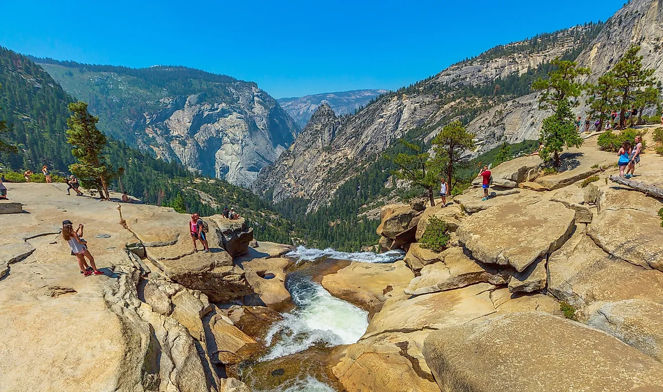
Spanning 24 miles along Route 30, the drive from Indian Lake to Speculator is one of the most scenic stretches in the southern Adirondacks. At the start of your journey, launch a canoe or kayak at Indian Lake Islands Campground, where more than a dozen wooded islands break up the 12-mile lake. About seven miles south, you’ll find the Snowy Mountain Fire Tower Trail, a 3.8-mile hike gaining about 2,180 ft of elevation that ends at a historic steel fire tower with sweeping 360° views of the lake and surrounding wilderness. The road then passes Lewey Lake Campground, great for a picnic or swim. A short detour west takes you to Pillsbury Mountain Fire Tower, a 3.2-mile round-trip trail to another restored steel tower with classic Adirondack panoramas.
Back on your route, keep an eye out for Pig Rock, a roadside boulder painted like a pig and a local favorite for photos. Farther along, Whiskey Brook Falls offers a short woodland walk to a small but photogenic cascade just off the highway. In Speculator, meander along the Sacandaga Pathway, an accessible boardwalk that weaves through wetlands and pine woods and is great for birding. Wrap up the day with a relaxed flight at Lemon Tree Brewery, or grab a pizza from Mountain Market to enjoy at Speculator Public Beach as the sun dips toward the horizon.
High Peaks Byway

Cutting across the heart of the Adirondacks, the High Peaks Byway (NYS Route 73) runs for 30 miles from Underwood to Lake Placid, giving drivers access to some of the tallest mountains in the state. Early in your journey, Chapel Pond Trailhead offers a short, peaceful hike and a chance to spot wildlife. A few miles farther, take a forest walk to the Roaring Brook Falls, perfect for a quick photo or picnic break. For road-trip fuel, grab snacks and goodies at Rivermead Farm Market, Black Rooster Maple, or Cedar Run Bakery and Market.
Further along, the Cascade Mountain Trailhead provides access to a challenging hike that climbs 1,940 ft to a rock summit overlooking the surrounding wilderness. History buffs can detour to the John Brown Farm, a National Historic Landmark preserving the home and gravesite of the famed abolitionist, with exhibits that explore his legacy. Nearby, the Lake Placid Olympic Jumping Complex features two ski-jump towers that were used during the 1980 Winter Olympics. Today, visitors can ride a scenic gondola and glass-walled elevator to the top, or even try the Sky Flyer zipline for an adrenaline rush.
The village of Lake Placid marks the end of the byway. Here, you can keep the Olympic spirit going by visiting the Lake Placid Olympic Museum or the Olympic Center to see the rink where the underdog US men’s hockey team defeated the Soviet Union in 1980 in a game dubbed the “Miracle on Ice.”
Olympic Trail

If the Olympic sites around Lake Placid spark your curiosity, the Olympic Trail extends the journey. This 170-mile stretch links Lake Champlain to Lake Ontario along Routes 86 and 3, where small towns, forests, and Olympic landmarks tell the story of the Adirondacks. Begin in Keeseville at Ausable Chasm, often called the “Grand Canyon of the Adirondacks,” with trails, overlooks, and adventure courses. From there, follow the Ausable River towards Jay, where you’ll find the Jay Covered Bridge, constructed in 1857 and one of the last of its kind in the state.
Follow Route 86 to Wilmington, which sits at the base of Whiteface Mountain, host of the 1980 Olympic alpine skiing events. Whiteface Veterans’ Memorial Highway climbs the mountain to 4,867 ft, where you can take the Alpine Nature Trail or elevator to the summit for views stretching all the way to Canada. Continuing west, you’ll pass through Lake Placid and Saranac Lake, where you can stroll along Lake Flower. The route continues through Tupper Lake, home to The Wild Center and its treetop Wild Walk, before reaching Cranberry Lake, a serene spot for paddling or camping.
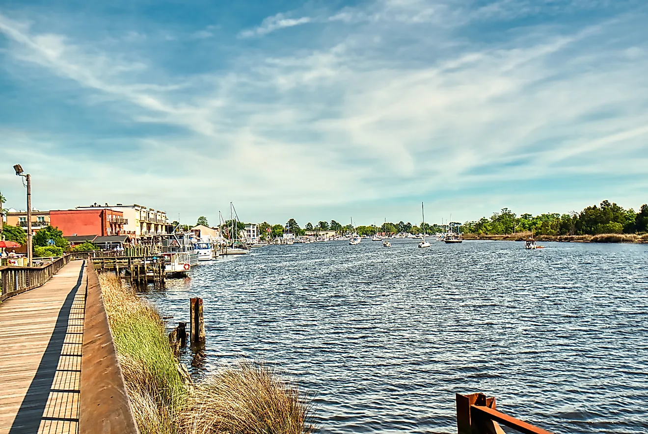
Just off Route 3, Wanakena is worth a quick detour for its historic footbridge over the Oswegatchie River. For those craving a thrill, stop in Watertown, a whitewater-rafting hub where the Black River is known for its Class III-IV rapids. The trail ends in Sackets Harbor, a War of 1812 village with lakefront dining and sunset views over Lake Ontario, a calm conclusion to this cross-Adirondack trek.
Lakes to Locks Passage

Linking the Hudson River, Champlain Canal, Lake George, and Lake Champlain, the Lakes to Locks Passage follows New York’s original trade route for approximately 225 miles north through valleys and lakeside towns shaped by industrial and military history. Begin in Waterford, where the Hudson meets the Mohawk River at Lock 2, the southern gateway to the Erie Canal. Head north to Saratoga, home to Saratoga National Historical Park, site of the 1777 battle that helped secure American independence.
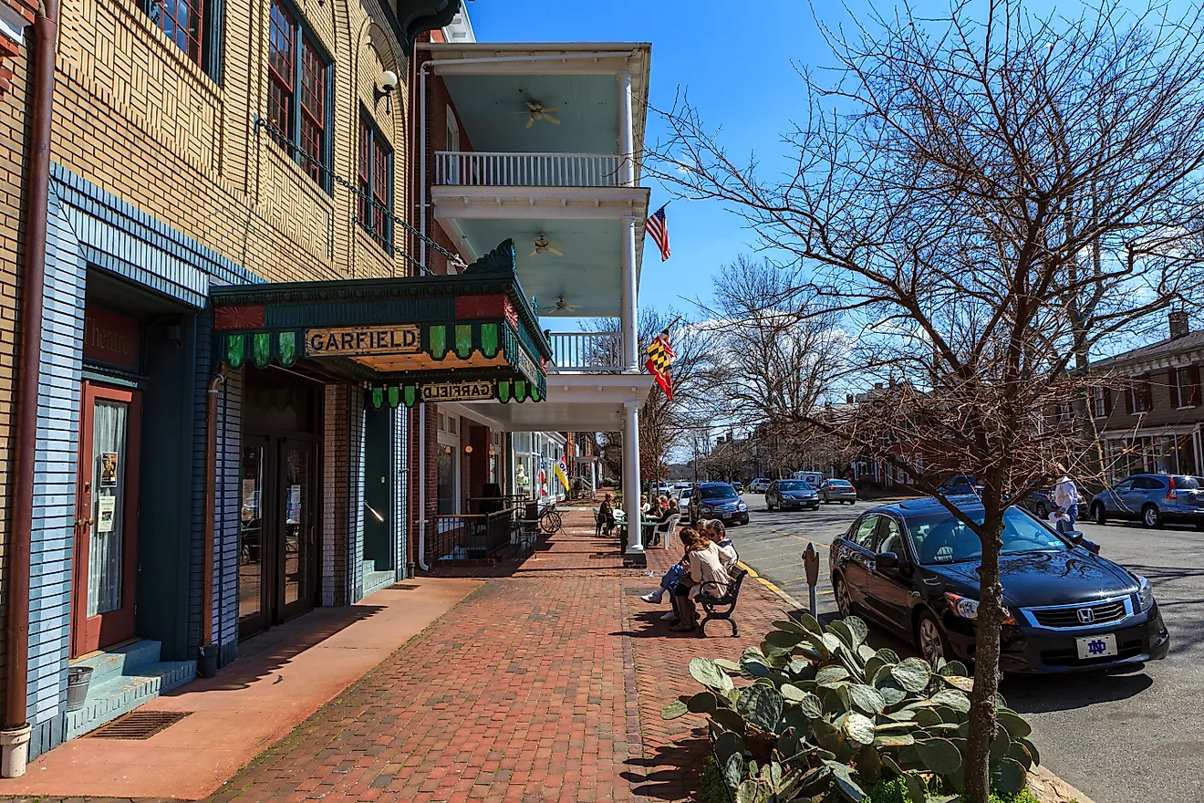
As you enter the eastern Adirondacks, you’ll find yourself in Whitehall, the birthplace of the US Navy. While there, visit the Skenesborough Museum, housed in a 1917 canal terminal building. The route then reaches Fort Ticonderoga, an 18th-century stronghold overlooking Lake Champlain, and Crown Point State Historic Site, where ruins of French and British forts still stand above the water. The road then winds through Essex, a beautifully preserved village listed in the National Register of Historic Places, and Keeseville, known for its three remarkable, 19th-century bridges that are still operational. Here, the views open across Lake Champlain toward Vermont’s Green Mountains.
In Plattsburgh, walk or bike the War of 1812 Trail and step inside the Kent-Delord House Museum, where exhibits and monuments together tell the story of the Battle of Plattsburgh and its lasting role in regional trade. The route concludes in Rouses Point, where Fort Montgomery, built in the 1840s to guard the Canadian border, still stands on the shoreline, a natural endpoint for a drive that traces New York’s early trade and defense routes.
Great Lakes Seaway Trail

The New York stretch of the greater Seaway Trail is the longest route on this list, clocking in at around 450 miles and following nearly the entire length of the state’s Great Lakes shoreline. It threads past Lake Erie, the Niagara River, Lake Ontario, and the St. Lawrence River, linking small harbor towns, maritime landmarks, and lakefront parks. Start your engine near the Pennsylvania border in Ripley, where charming vineyards and farm stands set the tone for the miles ahead. Stop at Johnson Estate Winery in Westfield to enjoy weekend mimosa flights and brunch charcuterie boards. From here, head northeast through Barcelona and Dunkirk, both known for their historic lighthouses and fishing piers. In Buffalo, explore the revitalized waterfront at Canalside and the nearby Buffalo Naval Museum before grabbing lunch at Anchor Bar, the birthplace of Buffalo wings.
Take a requisite pause at Niagara Falls State Park to feel the roar and mist of the falls before following the river north to Old Fort Niagara, a 17th-century stronghold that has flown French, British, and American flags. Eastward still, Olcott Beach offers a retro lakeside kiddie carousel park and boardwalk, while Barker's 1875 Thirty Mile Point Lighthouse invites you to tour the keeper’s quarters and stay overnight in a restored lighthouse cottage. Skirting around Rochester, follow the quiet shoreline toward the Thousand Islands. From Alexandria Bay, take a boat tour to Boldt Castle before the trail meets its end in Massena, where the St. Lawrence broadens toward Canada and centuries of navigation meet modern industry.
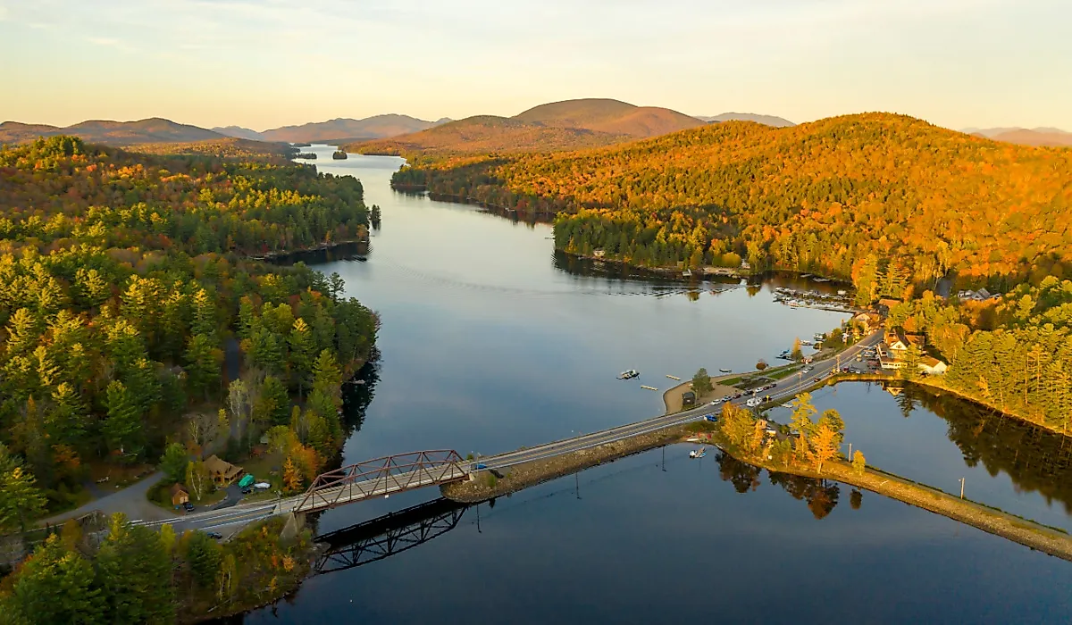
Hudson River to Blue Mountain Lake

Once a corridor for log drives and early rail lines, this 48-mile route follows Route 28 from the upper Hudson River north through the central Adirondacks, climbing from valley towns into lake country. Begin near Warrensburg, where the Schroon and Hudson Rivers meet, and follow Route 28 through Wevertown toward North Creek, a former logging and rail hub that now draws whitewater rafters to the upper Hudson each spring. Stop for coffee at Café Sarah or visit the North Creek Depot Museum, which showcases how trains once carried timber, minerals, and travelers through these mountains.
Beyond town, the road winds through rolling hardwood forest toward North River, home to Barton Mines, one of the oldest active garnet mines in the world. A short detour leads to the Gore Mountain or to riverside pull-offs perfect for a picnic beside the rapids. From here, the drive climbs gradually to where small lakes and trailheads break up the forested miles. Near Indian Lake, the landscape opens to distant peaks and broad water crossings before reaching Blue Mountain Lake, where pine-lined shores and quiet coves invite you to slow down. Short but full of contrast, this drive captures the Adirondacks in transition, from the working river towns that built its history to the still waters that define its wilderness today.
Mohawk Towpath Byway

The 26-mile Mohawk Towpath Byway follows the Mohawk River and the historic Erie Canal between Waterford and Schenectady. Once lined with mules towing canal boats through narrow channels, this route now winds past working locks, preserved towpaths, and riverside communities that helped engineer New York’s early industry. Set out from Waterford, where the Erie Canal meets the Hudson River. Walk to the Flight of Locks, a staircase of five canal locks that lifts boats more than 160 ft. Stop at Cohoes Falls, a natural landmark that powered early textile mills. From Falls View Park, you can look out over the gorge and feel the force that once fueled the region’s industry.
Beyond Cohoes, the byway parallels the river through Crescent and Halfmoon, where remnants of the original canal appear beside the modern waterway. At Vischer Ferry Nature and Historic Preserve, trails follow the old towpath through wetlands and past stone locks dating back to 1825. The road ends in Schenectady, once a major hub. Stroll the Stockade Historic District, where cobblestone streets and centuries-old homes overlook the Mohawk River, or stop downtown for lunch along Jay Street Marketplace to cap off the drive.
Roosevelt-Marcy Trail

In September 1901, Theodore Roosevelt was deep in the Adirondacks, descending from Mount Marcy after a long day of hiking, when a messenger arrived with grim news: President McKinley, who had been shot days earlier in Buffalo, had taken a turn for the worse. Through the night, Roosevelt raced south by wagon from the high peaks to North Creek, arriving at dawn to learn he was now president. Today, Route 28N follows that same path through 40 miles of forested wilderness and small mountain towns.
Start in Long Lake, a peaceful outpost surrounded by water and pine ridges. As the road climbs toward Newcomb, it passes the headwaters of the Hudson River and hints at the scale of Roosevelt’s journey. Pull over at Overlook Park for sweeping High Peaks views, or explore the Adirondack Interpretive Center, where short boardwalk trails wind through boreal forest. A detour to the north leads to the ghost town of Tahawus, where 19th-century iron-mining ruins sit quietly under mossy pines. The final stretch descends toward North Creek and the old train station, where Roosevelt arrived at dawn in 1901, now the Depot Museum. Exhibits recount that fateful night’s ride, the telegram that changed history, and the moment when an Adirondack backroad led straight to the presidency.
Roads That Connect More Than Places
The Adirondacks are defined by connections between mountains and rivers, past and present, people and place. Each route highlights a different side of that story, from trade corridors turned scenic byways to small towns built around water and timber, and roads that still follow the contours of history. Whether you’re tracing a president’s path or following the old canal, these drives show how travel here has always been about more than distance. It’s about seeing how the region’s landscapes and communities still move together.