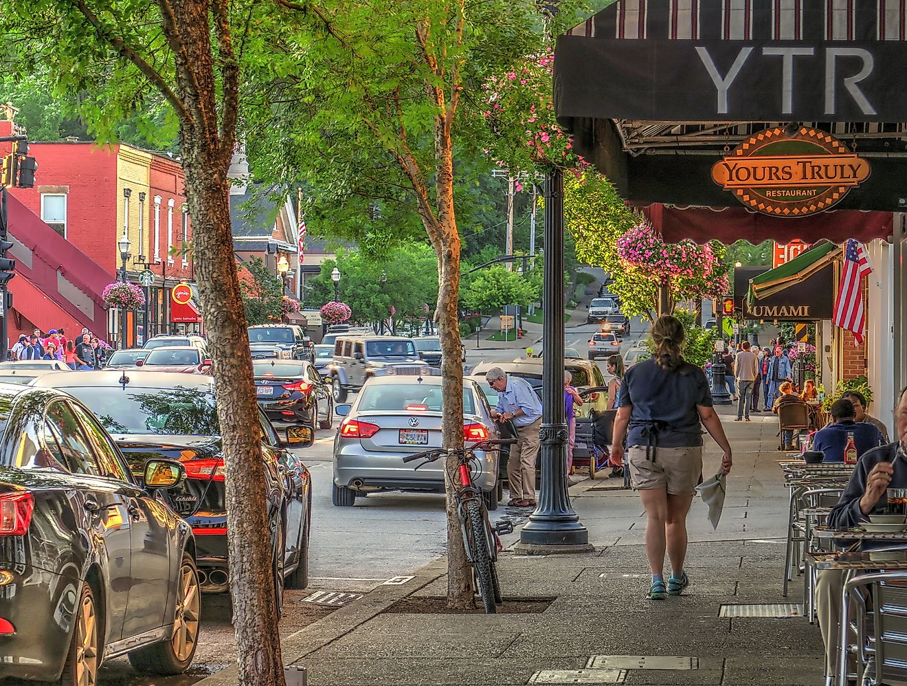
9 Most Scenic Drives in Indiana
Where Lake Michigan’s shifting dunes meet the hardwood hills of Brown County and the limestone bluffs above the Ohio River, Indiana proves the Midwest is anything but flat. From cruising the Ohio River Scenic Byway between Aurora and Madison to looping past Hesitation Point in Brown County State Park, the scenery constantly shifts. Up north, US 12 skirts the beaches and 200-foot dunes of Indiana Dunes National Park, while Parke County’s 31 covered bridges dot quiet farm roads near Rockville. Whether you prefer river valleys, forested ridges, or Great Lakes shorelines, these nine scenic drives highlight Indiana at its most visually rewarding.
Ohio River Scenic Byway

The Ohio River Scenic Byway, which follows sections of SR 156, SR 62, and SR 66, traces Indiana’s southern border from Aurora to Madison, offering what is boasted as the state’s most beautiful drive. This route glides along limestone bluffs and expansive vistas of the Ohio River valley, following the water’s edge. Traveling west, the road winds beneath towering cliffs, passing through the streets of Rising Sun and Vevay before reaching the canyon views and majestic waterfalls of Clifty Falls State Park.
While summer provides lush, green canopies, autumn is the premier time to witness the valley’s foliage reflected in the river. The paved roads are well-maintained, and the frequent river-side curves and elevation changes near Madison beckon a rolled-down window to fully appreciate the historic architecture and natural scenery.
Brown County State Park Loop

The Brown County State Park Loop (via the park’s Auto Tour roads) is the perfect spot to set up camp along your road trip. Starting from the gates off SR 46, this 20-mile winding route climbs high ridges, follows mist-shrouded ravines, and wades through dense forests. Driving the loop, you’ll encounter spectacular highlights like Hesitation Point and the 1,060-foot summit of Weed Patch Knob, along with the historic Ramp Creek Covered Bridge.
While October is the peak season for vibrant autumn colors, spring and summer are just as beautiful and tend to attract fewer crowds (especially on weekdays). Stop by nearby Nashville’s Big Woods Pizza for a lunch that won’t leave you hungry!
Indiana Dunes Lakeshore Drive (US 12)

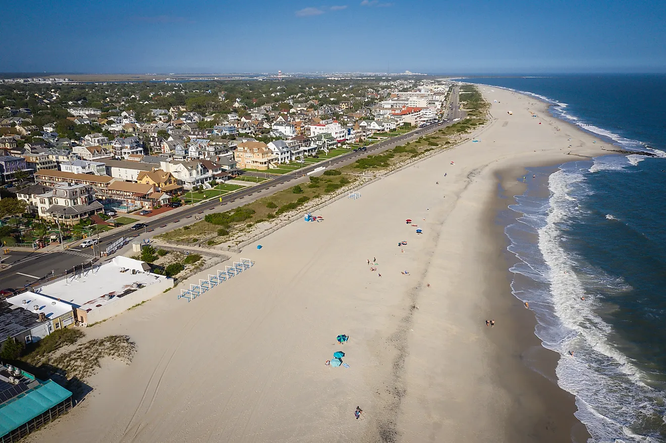
The Indiana Dunes Lakeshore Drive (along US 12 and Lake Front Drive) is a popular scenic drive from Gary to Michigan City that runs for 15 miles along Lake Michigan. This drive is home to a wide array of sights, including 200-foot sand dunes and crystal clear views of Lake Michigan. Traveling east through Ogden Dunes and Beverly Shores, you’ll pass the futuristic Century of Progress Homes and the Great Marsh Overlook, with the Chicago skyline visible on the horizon.
Summer is optimal for beach access, but like much of Indiana, autumn offers an amazing contrast of golden foliage against the clear blue waters. The roads are accessible to all vehicles, though traffic peaks on summer weekends near Indiana Dunes National Park, making it advantageous for early risers to avoid crowds and catch the best of the sun on the ridges.
Parke County Covered Bridge Routes

Parke County (dubbed the Covered Bridge Capital of the World) boasts a whopping 31 covered bridges along its five color-coded loops that span from 24 to 34 miles each. These routes fan out from the courthouse square in Rockville along US 36, US 41, and rustic county roads. This 100-plus-mile network transitions from gentle, rolling farmlands to deep, forested ravines carved by the winding currents of Big Raccoon and Sugar Creeks.
Driving these loops, you’ll cross 31 covered bridges, including the massive West Union and the iconic Bridgeton Bridge, while passing the rugged cliffs of Turkey Run State Park and Billie Creek Village. The journey naturally breaks in quiet towns like Mansfield and Mecca. The experience is perfect for mid-October’s fall palette. The mostly paved roads require a slow, respectful speed to accommodate both sharp creek-side turns and frequent horse-drawn buggies.
Heritage Trail (Amish Country)

The Heritage Trail offers a 90-mile loop through the heart of Northern Indiana’s Amish Country, primarily following a network of backroads and state highways like US 20, SR 120, and SR 13. Starting at the Elkhart County Visitor Center, the route passes through the vibrant communities of Bristol, Middlebury, Shipshewana, Goshen, Nappanee, and Wakarusa. The terrain is a blanket of rolling hills, river valleys, and quiet farmland. The Amish communities incorporate horse-drawn buggies and white barns alongside quilts and legendary baked goods (check out the “Amish Crack” donuts at Middlebury’s Rise’n’Roll bakery!).
Along the way, be sure to check out landmarks like the Bonneyville Mill, the St. Joseph River, and the seasonal Quilt Gardens, where over a million blooms mimic the classic fabric patterns of Amish quilts. The drive is best experienced from late May through mid-September for the gardens or in October for beautiful autumn colors. The roads are paved, but drivers should remain cautious, as they share the narrow lanes with buggies and cyclists, making for a steady yet respectful pace for this pastoral journey.
Whitewater Canal Scenic Byway

The Whitewater Canal Scenic Byway follows a 76-mile canal route along SR 121, US 52, and SR 1, hugging Indiana’s pioneer-era waterway from the Ohio River in Lawrenceburg to the National Road in Hagerstown. This drive transitions from the wide plains of the south to the steep ridges of the Whitewater River Valley, with sights of historic locks and grist mills of yore.
Traveling north, the route passes through the Oldenburg (known as the Village of Spires, one of Indiana’s oldest towns) and the riverside town of Brookville before reaching the iconic Metamora, home to the unique Duck Creek Aqueduct. The drive is best experienced during summer or autumn when the valley’s trees are lush. While the roads are paved, the winding river-level stretches require a cautious speed, particularly during the rainy spring months.
Hoosier National Forest (SR 135)

The Hoosier National Forest drive along State Road 135 is a remote, north-south traverse through Indiana’s Little Smokies, connecting the town of Salem to the southern outskirts of Indianapolis. This route trades flat plains for distinct elevation gains and dense forestry, occasionally breaking for views of the Salt Creek Valley. Traveling north, the road twists through sharp curves, passing the secluded Starve Hollow State Recreation Area and the historic town of Story before reaching the panoramic Bean Blossom Overlook.
The drive is at its most popular during the early fall, when the ridges brighten with copper hues. Though the steep grades require caution during winter ice or heavy rain, the pavement is well-maintained. Popular with motorcyclists and autumn sightseers, Hoosier National Forest makes for an ideal mid-week trip through the deep woods.
Historic Michigan Road (SR 29/US 421)

The Historic Michigan Road offers a trans-state adventure along Indiana’s first superhighway. Following the corridor of US 421 and SR 29 from the Ohio River in Madison to the shores of Lake Michigan in Michigan City, this 270-mile journey transitions from limestone-carved bluffs in the south to rolling central plains and coastal dunes in the north.
Starting in the south, the drive climbs the winding turns of Madison’s North Mountain for river views before leveling out in the town of Greensburg and eventually the urban stretch of Indianapolis. North of the capital, the road finds a quieter rhythm as SR 29, passing through the river-city of Logansport and the quiet village of Burlington before terminating at the Indiana Dunes. The route is best traveled in late spring, summer, or autumn to avoid ice and northern lake-effect snow.
Wabash River Scenic Byway

The Wabash River Scenic Byway route stretches roughly 16 miles across Tippecanoe County and serves as a tree-lined corridor along South River Road and North River Road (formerly SR 43). The route begins at the wooded bluffs of Ross Hills County Park and winds northeast toward West Lafayette, eventually concluding at the junction of I-65 and SR 43.
Unlike the flat plains of the north, this drive hosts plenty of terrain shifts. From rural overlooks to deep valleys as you coast along the Wabash River. As you head north, you’ll find the Wabashiki Wetlands and the wide, silver ribbon of the Wabash River. The landmarks demand a slow pace, from the historic shadows of Fort Ouiatenon to the expansive, rolling prairies of Prophetstown State Park. The drive leads through the State Street junction in West Lafayette, where the river narrows, and downtown Lafayette’s skyline greets you. For those chasing fall colors, the route is best experienced during the autumn peak, when the canopies on the bluffs glow with earthy and cozy amber tones.
Take a Ride through Indiana’s Beautiful Routes
Ultimately, there’s no wrong road to take when cruising Indiana’s scenic byways and highways. Whether you’re gently drifting alongside a canal or getting views of sun-soaked tree canopies, there are nearly endless possibilities across the state. So roll down your windows, loosen your belt (if you’re heading to Amish country bakeries), and hit the road. When life hits you with a fork, try taking the road less traveled.