8 Most Scenic Road Trips to Take in Arkansas
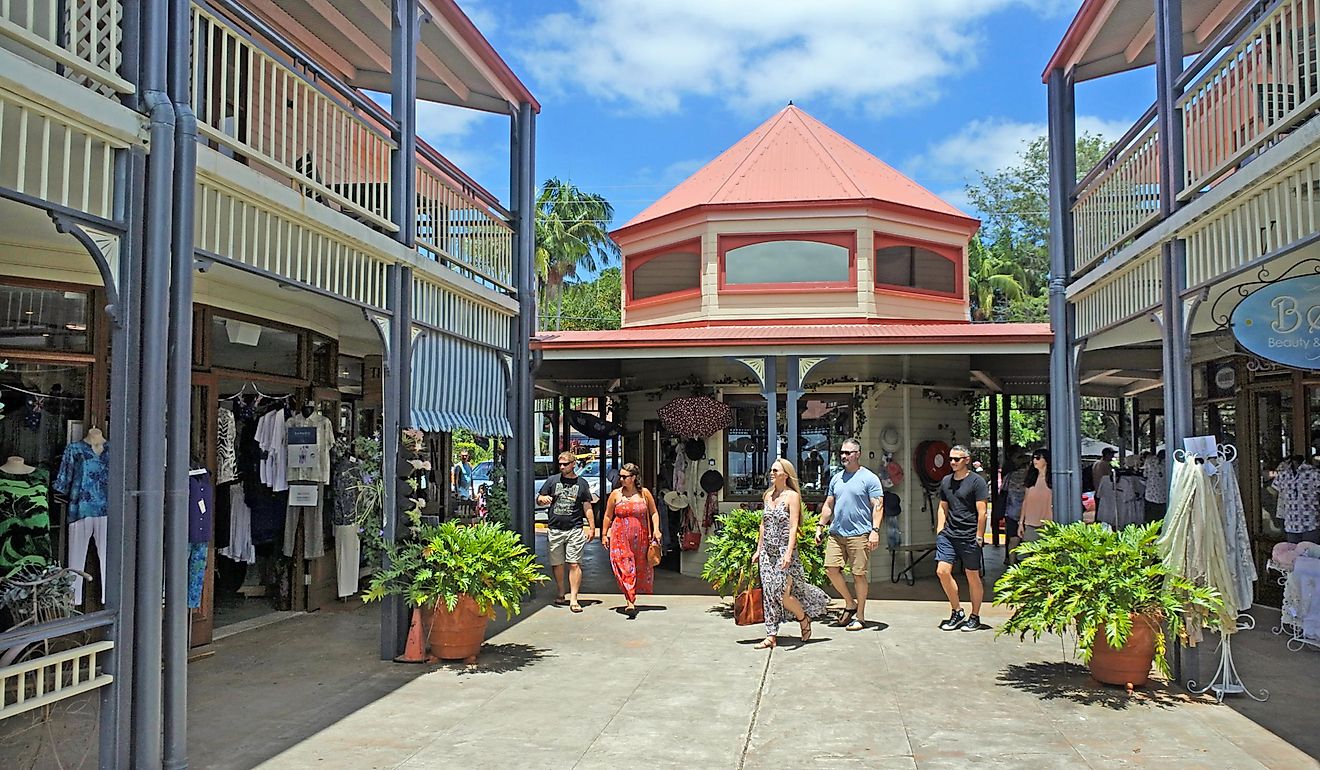
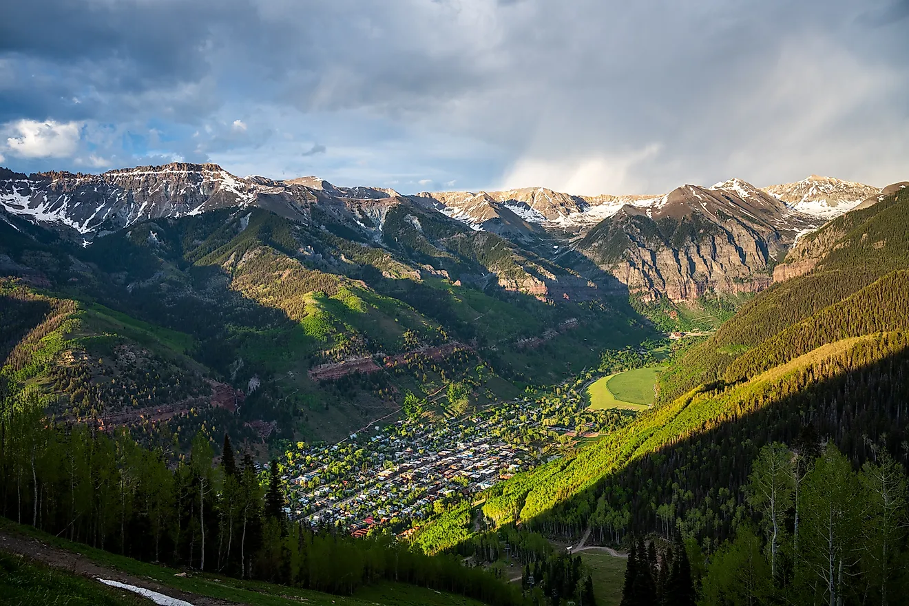
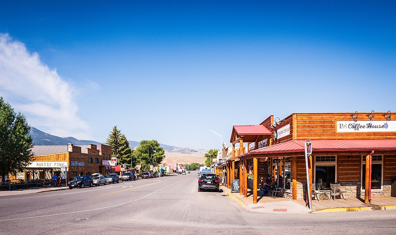
Scenic road trips in Arkansas allow visitors to explore the cultural heritage, natural landscapes, and quaint small towns along the way. In Arkansas, such picturesque destinations include the Ozark Mountains in the northwestern part of the state, the Ouachita Mountains in the central and western regions, and scenic byways that pass through sparkling lakes and national forests. Places such as the Victorian-style village set in the Ozarks called "Eureka Springs" exude warmth and nostalgia of a historical past with lavish architecture, cozy shops, and places where visitors can enjoy breakfast and rest. There are many highways and scenic routes that visitors can discover and enjoy. Each route provides a unique experience and a glimpse into the state's unique character.
Arkansas Highway 23 (Ozark To Eureka Springs)

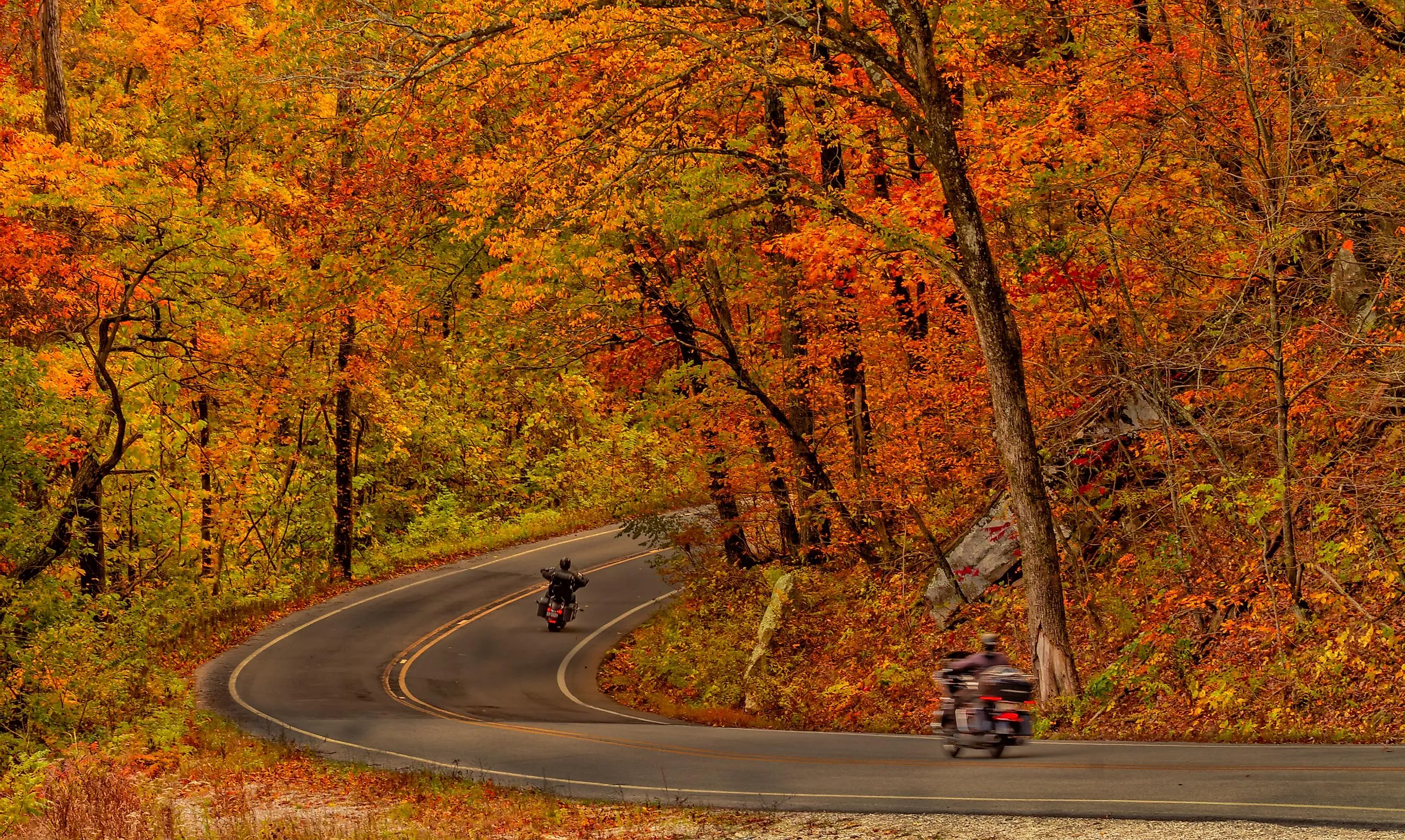
The north-south state highway in north Arkansas, Highway 23, is approximately a 130-mile route running from US 71 near Elm Park north to the Missouri state through Ozark and Eureka Springs. The highway winds through the Ozark National Forest, where it is called the "Pig Trail Scenic Byway," originating in Ozark town in Franklin County and ending at the junction with US Highway 62/412 in Eureka Springs, Carroll County. Along the route lies the Mulberry River and the 165-mile Ozark Highlands Trail. The iconic highway gives visitors a memorable experience of breathtaking landscape, natural beauty, and exciting twists and hairpin turns as it passes through the Ozark National Forest. The steep inclines and descents, outdoor recreation amidst the natural beauty, waterfalls, fall foliage during the fall season, and several small towns along the route contribute to the wonders of driving through this scenic route.
The mountains act as a stunning backdrop with towering hardwood trees, lush forests, and rugged cliffs. The scenic byway meanders through the mountains, providing panoramic views with opportunities to stop, stretch your legs, and take in some breathtaking scenes. The unexpected twists and turns surprise visitors with hidden gems of the forest, such as waterfalls and wildlife, adding to the exhilarating driving experience. While traveling through the woods, visitors may cross places such as Haw Creek Falls, Glory Hole Falls, and Falling Water Falls which are picture-perfect moments to capture memories or to enjoy the serenity at that moment. Travelers can stop along downtown areas to soak up the history of quaint small towns or to stop by local eateries and shops along the scenic route.
Arkansas Highway 221 (McIlroy Wildlife Management Area to Berryville to Arkansas-Missouri state line)

Highway 221 starts in the Ozark Mountains at the Madison-Carroll County line, from the McIlroy Wildlife Management Area, traveling northward, passing through Berryville. This route further continues north, crossing the Arkansas-Missouri state line, where it changes into Missouri Route 39. The route can also be accessed by heading east on Highway 62 in Eureka Springs for about two miles to Rockhouse Road. From there, Highway 221 is seven miles south. Like most others, the scenic route is set amidst the breathtaking Ozark Mountains in northern Arkansas. The road takes visitors through some of the most picturesque landscapes in the region. The rolling hills, towering limestone structures, vibrant foliage, and thick forests with abundant wildlife present a beautiful picture of the diverse ecosystem along the route. If you travel in the fall season, the brilliant orange, red and yellow hues all around add to the spectacle. The spring season is also a wonderful time to set along this route as it brings on an outburst of colors with wildflower blankets decorating the roadside.
Traveling along this route during winter offers visitors a glimpse of the snow-covered hills and quiet surroundings. Besides its natural beauty, visitors may also explore outdoor activities such as hiking, fishing, and walking along peaceful meadows along the Highway 221 route to see some rivers, lakes, birds, and wildlife. The hospitable communities and towns in Berryville, Green Forest, and Blue Eye offer its visitors a peek into the region's rich history and welcome visitors all through the year. Taking a detour will allow exploring nearby tourist spots like Osage Clayworks in Alpena, close to Berryville, Table Rock Lake near the Missouri State line, and Mark Twain National Forest across the state line in Missouri.
Arkansas Highway 27 (Ben Lomond to Dardanelle and Dover to Harriet)

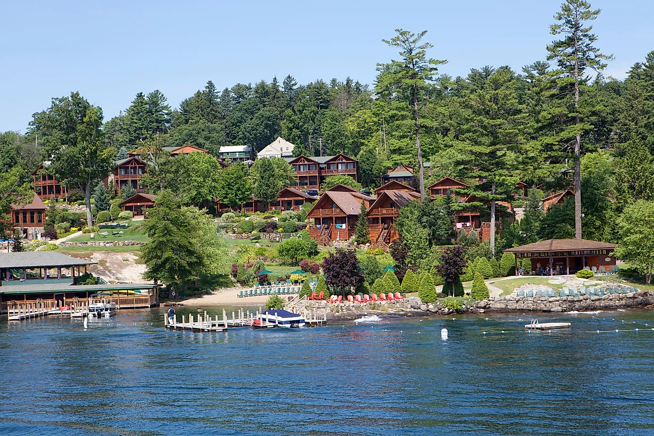
Highway 27 in Arkansas is a route allocated for two north-south state highways. One begins at Highway US 59 and US 71, close to Ben Lomond north to Highway 7 in Dardanelle. The second begins at Highway 7 in Dover northwards, all through Highway 14 at Harriet. The Ben Lomond to Dardanelle route spanning about 120 miles, offers travelers a delightful journey through the picturesque landscapes with beautiful hills, lush forests, sparkling rivers amidst the scenic natural views, and charming small towns along the way. The famous tourist attractions on this route include the panoramic views of Queen Wilhelmina State Park and the region's intriguing history at historical sites like Mount Magazine. Outdoor lovers can enjoy fishing and boating at Lake Dardanelle or a peaceful hiking experience through nature.
The second route from Dover to Harriet, which is approximately 70 miles, also offers travelers an enjoyable experience through nature. The beautiful hills, peaceful valleys, and rural communities welcome visitors to enjoy the region's beauty and people's hospitality. The attractions along this route include the historic town of Marshall, where you can visit quaint shops and enjoy local cuisine. Visitors can delight in the stunning Ozark Mountains and Buffalo National River close to Harriet, which offers hiking and fishing opportunities.
Arkansas Highway 74 (Huntsville to Kingston)

Highway 74 comprises many state highways adding up to about 104 miles in the northwest and north-central region of the state. These state highways are divided into eight sections, with the scenic ride from Huntsville to Kingston being one of them. Along the route that spans about 20 miles, visitors are treated to the natural beauty of the rich forests amidst the Ozark Mountains and charming rural towns. While on this route, one interesting spot to explore is Withrow Springs State Park, located near Huntsville. The park offers beautiful waterfall scenery, picnic areas, and hiking trails amongst peaceful nature.
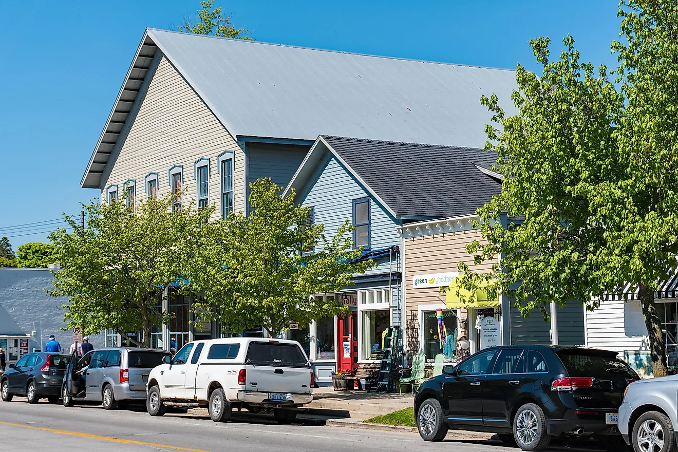
The charming town of Kingston is famous for its warm and friendly atmosphere and its historic architecture. Visitors can enjoy the little shops, eat at the local cafe, and enjoy some historical facts about the place at Kingston Courthouse Square. Tourists who embark on this route never miss an opportunity to enjoy some wilderness time at the Buffalo National River, which offers them opportunities to canoe, hike, kayak, and more. The Ozark National Forest, which is close, is another great spot, with its extensive trail system and opportunities for wildlife viewing and camping.
Arkansas Highway 103 (Clarksville to Oark)

Highway 103 has two segments, one route running through a less populated part of the Ozark Mountains between the Buffalo National River and Highway 21 near the Missouri state line and the second segment that starts in Clarksville in the Arkansas River Valley, passing through the Ozark National Forest. The old Clarksville town is well-preserved, and riding past the beautiful pastures of family cattle farms and timberland is a thrilling experience. The scenic ride from Clarksville to Oark, covering about 22 miles, offers visitors a breathtaking experience of driving through a picturesque landscape of natural scenery of forests and mountains.
The trip gets fascinating as the road winds into the Ozark National Forest twelve miles out of town. A stop by the Ozark National Forest allows opportunities for nature enthusiasts to enjoy hiking trails, wildlife spotting, and the region's natural beauty. As the journey continues, the road leads to a mountain top before getting onto a twisty steep run down to the north of the mountain crossing the Mulberry River, where tourists can stop for fishing, canoeing, and kayaking just before reaching Oark. The historic town of Oark is well-known for its small-town charm and its famous Oark General Store, established in 1890. The hospitality and rich history of the town is something every visitor enjoys.
Boston Mountains Scenic Loop (Alma to Fayetteville)

The Boston Mountains Scenic Loop is one of the ten designated Scenic Byways in Arkansas. These byways are state highways labeled as scenic highways by the Arkansas Department of Transportation (ArDOT). Other scenic routes include the "Ozark Highlands Scenic Byway," "Pig Trail Scenic Byway," and "Sylamore Scenic Byway." The two byways that constitute the Boston Mountains Scenic Loop are US Route 71 (US 71) and Interstate 49 (I-49). Visitors driving through these scenic regions can explore many tourist spots, including the Ozarks and National Forest area, and can rest and enjoy recreational areas such as the White Rock Mountain Recreation Area and Lake Wedington Recreation Area. The US 71 route allows travelers to drive at their own pace. The route includes 42 miles between Alma and Fayetteville. Going on this route allows visitors to explore small towns and scenic areas. The I-49 route is busier, bypassing small towns and areas but passing through a subset of the Ozarks, the Boston Mountains. The I-49 route starts at Alma, passing all through Fayetteville. Along the way, visitors will pass through the only road tunnel in the state called the Bobby Hopper Tunnel.
Some exciting tourist places along this scenic loop include popular parks such as the Devil's Den State Park, Lake Fort Smith State Park, Prairie Grove Battlefield State Park, and Pea Ridge National Military Park, historic places such as Fort Smith National Historic Site, Van Buren Historic District, Butterfield Overland Mail, and the University of Arkansas, beautiful lakes, rivers and trails like the Beaver Lake, Buffalo National River, and the Ozark Highlands Trail.
Scenic Byway 21 (Clarksville to Berryville)

Highway 21 in north central Arkansas is a north-south state highway, also called the "Ozark Highlands Scenic Driveway" or the Scenic Byway 21. This route encompasses a captivating 85 miles journey from Clarksville to Berryville through the scenic landscapes of the Ozark Mountains. Visitors will experience a beautiful mixture of nature, historical landmarks, and charming small towns. Some of the amazing forest landscapes include dense forests, sparkling rivers, and panoramic views of rolling hills with opportunities to spot some wildlife. Visitors can stop to watch the birds or take photographs and even hike through certain parts of the Ozark National Forest. Along this route lies the Ozark Highlands Trail, the White River, and other travel routes to cities in the area, with some scenic spots in southern Missouri.
Visitors who like to explore recreational activities can try fishing, canoeing, camping, and exploring the wilderness at certain trailheads along the route. Some of the historical landmarks are the Boxley Valley Historic District which displays the rich history of its settlers from the nineteenth century and other interpretive panels that tell stories of early settlements, Native American heritage, and the region's significance in Arkansas's history. The beautiful towns of Clarksville, Kingston, and Berryville are great places to learn more about the history and culture of the region. Visitors can experience the small-town atmosphere and unique architecture while also strolling through the downtown area to indulge in some shopping, dining, visiting art galleries and experiencing the welcoming and warm spirit of the locals.
Sylamore Scenic Byway (Blanchard Springs Caverns to Calico Rock)

The "Sylamore Scenic Byway" begins at the Blanchard Springs Caverns Visitor Center (National Forest Service). It passes through the Sylamore Ranger District in the Ozark National Forest through an undeveloped forested area which adds to the beauty of this route. The Blanchard Springs Caverns, located near Mountain View, is a famous tourist spot at the start point. The route's endpoint is Calico Rock, a historic town situated on the banks of the White River. Covering about 27 miles, the route takes visitors on an adventure-filled journey of the stunning natural landscape, allowing glimpses of the region's history and offering them opportunities to pursue outdoor activities. Explore hiking trails along this route, indulge in activities like fishing, camping, and picnicking, or discover the beauty and tranquility of the Ozark National Forest. Guided tours to the fascinating Blanchard Springs Caverns offer visitors a peek into the magnificent underground formations, giving them a chance to see some artistic wonders of nature.
The scenic route also passes through charming small towns giving visitors the opportunity to explore the farmer's market, authentic cuisine, local art, antique shops, boutiques, and galleries. The famous spots along this route also include Blanchard Springs, Mirror Lake Historic District, Syllamo Mountain Bike Trail, Ozark Folk Center, and Calico Rock Museum & Visitor Center in Calico Rock.
The state's diverse natural scenery is a treat to the eyes. The rich history and hospitality of the people in every small town, the wildlife in the forests, and the natural beauty along every section of these byways make every moment of these road trips enjoyable. Venturing on long road trips does not get tiring because of the tourist spots, recreational areas, and outdoor activities that tourists can stop to pursue along their journey. Take any of these eight scenic road trips in Arkansas to learn more about the region's history and enjoy the healing experience that nature brings while you travel and explore new places.