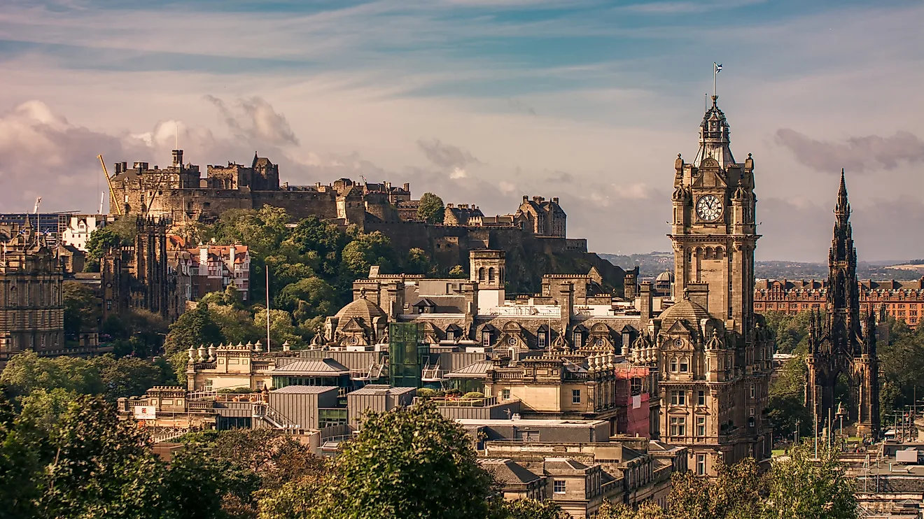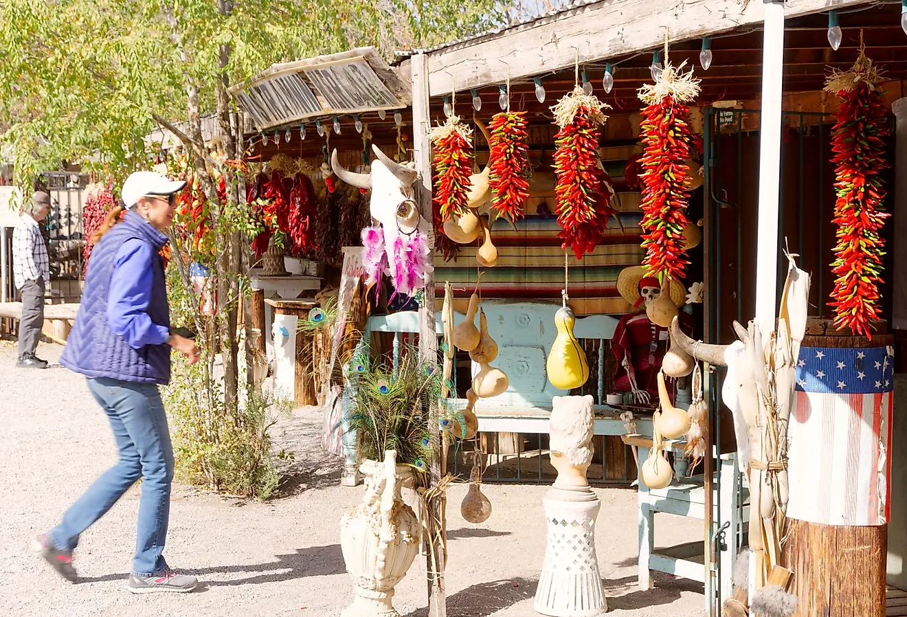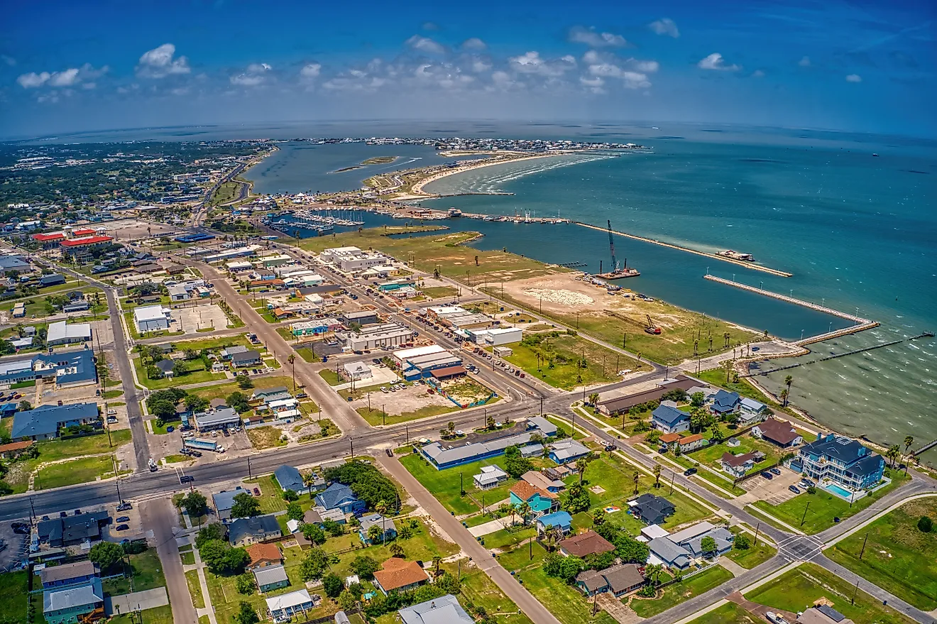
8 Most Scenic Drives in Victoria
Victoria’s landscape shifts quickly, from sheer coastal cliffs along the Southern Ocean to alpine ridgelines and rolling vineyard valleys. These scenic drives trace that variety in full. On the Great Ocean Road, limestone stacks like the Twelve Apostles rise at the edge of Great Otway National Park along the dramatic Shipwreck Coast, while inland, the rugged and remote Grand Ridge Road is defined by the Strzelecki Ranges, with sweeping views of the Latrobe Valley and Bass Strait. The Esplanade Coastal Drive traces the Mornington Peninsula, with a different beach around every corner. Whether following river bends, mountain peaks, or shoreline curves, each of the eight drives below reveals a different side of the state’s terrain, offering a steady sequence of changing views and an unforgettable Australian road trip.
Great Alpine Road

Running more than 300 kilometers (186 miles) between Wangaratta and Bairnsdale along the B500, the Great Alpine Road crosses Victoria’s most elevated terrain. The drive begins in agricultural valleys before narrowing through Harrietville, where the ascent into alpine country becomes more pronounced. Approaching Mount Hotham, the road climbs into exposed ridgelines with long views over surrounding peaks, then descends toward river valleys and lake systems near Metung on the Gippsland Lakes. Terrain shifts are constant, moving from forest to open high country to vineyard-lined slopes. It remains the highest year-round accessible sealed road in the state, though winter conditions may require snow chains, while autumn foliage and clear summer days offer the most stable driving conditions.
Black Spur Drive

The Maroondah Highway section between Healesville and Marysville forms Black Spur Drive, a short but densely scenic 28-kilometer (18-mile) route through the Yarra Ranges. The road winds tightly through towering stands of mountain ash, creating a near-continuous canopy overhead. Ferns line the forest floor, and filtered light gives the route a dim, misty quality, particularly in the morning. Curves are frequent and sharp, with limited straight sections as the road climbs and descends along the Great Dividing Range. Toward the northern end of the drive, the Fernshaw Picnic Area and Dom Dom Saddle Picnic Areas are natural stopping points with basic facilities, and they also offer a chance to get out for a bit of a hike. Damp pavement, low visibility, and wildlife crossings require slower speeds along this road, especially after rainfall or during cooler months.
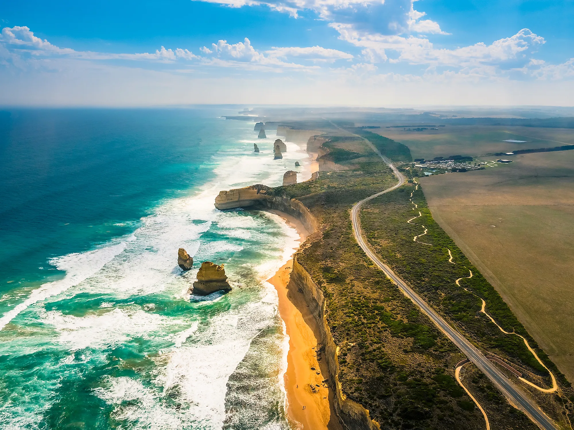
Great Ocean Road

Stretching from Torquay to Allansford along the B100, the Great Ocean Road follows the edge of the Southern Ocean in a continuous series of curves that cling to coastal cliffs. Early sections near Lorne weave between forested slopes and open water before widening toward Apollo Bay, where the road briefly meets a gentler shoreline. Farther west, along the famed Shipwreck Coast, the landscape sharpens into exposed bluffs and offshore rock formations, including the Twelve Apostles and Great Otway National Park, two major highlights of this drive. Pull-offs appear frequently along cliff edges, offering unobstructed views of waves striking the limestone stacks. The 240-kilometer (150-mile) route is fully paved but heavily trafficked in summer, with calmer conditions in shoulder seasons and especially vivid light at sunrise and sunset.
Grand Ridge Road

Extending roughly 132 kilometers (82 miles) from Warragul to Yarram, Grand Ridge Road follows the crest of the Strzelecki Ranges rather than cutting through them. About half the route is sealed, with the remainder consisting of gravel sections that reinforce its remote character. The drive maintains elevation for long stretches, allowing uninterrupted views across farmland toward the Latrobe Valley in the north and Bass Strait to the south. Dense forest alternates with cleared ridgelines, and the road’s narrow width and constant bends encourage a steady, slower pace. High rainfall can leave surfaces slick or uneven, particularly in winter, while fallen debris and fog are more likely. Wildlife sightings, including wombats, wallabies, and lyrebirds, are common, particularly later in the day towards dusk. Parts of the road are also used for logging, and signage is sometimes missing or obscured, so it's important to have a map on hand and to anticipate sharing the road with larger industrial vehicles during the week.
Esplanade Coastal Drive (Mornington Peninsula)

Beginning at Schnapper Point in Mornington, the Esplanade traces a short but elevated route along the Mornington Peninsula’s bay-facing coastal bluffs. The road passes above Mothers Beach, where bathing boxes and the Mornington Pier create a layered waterfront scene, before continuing past smaller coves like Fishermans Beach and Fossil Beach. Elevated sections offer views across Port Phillip Bay, while stairways descend to narrower beaches such as Hawker Beach below. As the route approaches Mount Martha, the slopes of Arthur’s Seat State Park come into view, and the small village itself is home to several cafes and restaurants, as well as a boardwalk through the Balcombe Estuary Reserve. Though only 15-20 kilometers (9-12 miles) long, the drive includes several natural pull-offs and lookouts, with light traffic outside peak summer weekends.
Grampians Tourist Road

Connecting Ararat to Halls Gap, the Grampians Tourist Road enters a landscape where mountain ranges rise abruptly from flat plains. The route transitions from open farmland into the rugged terrain of Grampians National Park, where sandstone ridges dominate the skyline. Gradual elevation gains lead to viewpoints such as Boroka Lookout, offering wide views over Halls Gap and surrounding ranges, and Reed Lookout, which faces Victoria Valley. The drive itself remains relatively short at around 50 kilometers (31 miles), but it includes frequent opportunities to pause at designated overlooks. Wildlife is common along roadside edges, particularly at dusk, and spring conditions bring additional color through seasonal wildflowers.
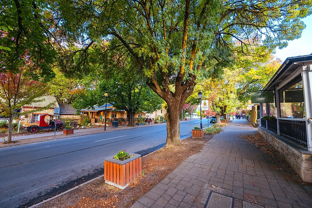
Yarra Valley Scenic Drive (Tourist Drive 2)

Tourist Drive 2 begins in Williamstown and follows the Yarra River inland toward Warrandyte over roughly 60 kilometers (37 miles). Early sections pass through central Melbourne, where the river narrows near Dights Falls and bridges frame views of the surrounding skyline. As the route continues northeast, it shifts into quieter stretches bordered by parklands such as Westerfolds Park and Pound Bend, where the road runs close to the water’s edge. Gradual elevation changes near Kew introduce wider views across the river corridor and landscaped green spaces. Traffic can be dense through inner-city segments, but the drive becomes more relaxed as it approaches Warrandyte, where bushland begins to replace urban development.
Great Southern Drive

The Great Southern Drive runs approximately 136 kilometers (85 miles) from Nyora to Port Welshpool, following the alignment of the Great Southern Rail Trail through South Gippsland. Early sections between Nyora and Poowong pass through rolling farmland, where low hills and open pasture dominate the landscape, and Poowong Sculpture Park provides a natural pause with elevated views over the surrounding countryside. Farther south, the terrain widens, and distant views begin to include the outline of Wilsons Promontory National Park before the route reaches the coast. The road remains mostly straightforward and sealed, making for an easier drive compared to alpine or ridge routes, with coastal winds becoming more noticeable as the drive approaches Port Welshpool.
Across these eight drives, Victoria’s scenery reveals itself in layers. Coastal routes trace the edge of the Southern Ocean, alpine roads climb into high country, and inland corridors follow rivers, farmland, and forest. Frequent pull-offs, gradual elevation changes, and clearly defined routes make these drives accessible without requiring extended travel time. Together, they form a network of scenic corridors where the experience is as much about the journey as it is the destination.