8 Great Road Trips to Take in Arizona
Arizona is a land of red rock canyons and stunning desert highways, making its road trips especially fun for all the dramatic scenery. A trip along AZ-89A to Jerome offers sweeping views of pine-covered ridges as the road drops into the Verde Valley. And if you take the US-191 to Alpine, you will wind through hundreds of curves as the route climbs from desert scrub into cool alpine forest. The eight drives below are the best ways to explore the state's beautiful views.
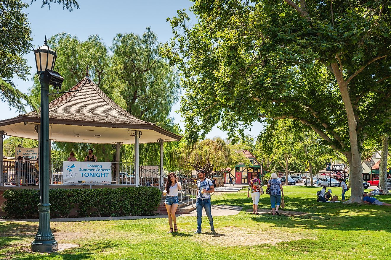
Phoenix to Sedona via AZ-87, AZ-260, and AZ-179

Start in Phoenix and take AZ-87 north (Beeline Highway) on a drive of about 120 miles that typically takes 2.5 to 3 hours, depending on stops. The route climbs steadily out of the Valley through desert foothills and into higher elevation terrain near Tonto National Forest. Expect long, sweeping curves and wide desert views before the first major terrain shift.
At Payson, take AZ-260 west to Camp Verde, then briefly follow I-17 north before turning onto AZ-179 toward Sedona. The transition from pine forest to red rock country happens quickly as you descend toward the Village of Oak Creek. Stop at Bell Rock Vista off AZ-179 for a quick roadside view without committing to a full hike.
This route works because of its clear elevation changes and the way the road moves through each shift in terrain. You climb out of the basin, run forested plateau miles, then drop into red rock country. Drive it in late fall or early spring for cooler temperatures, and watch for snow at higher elevations in winter.
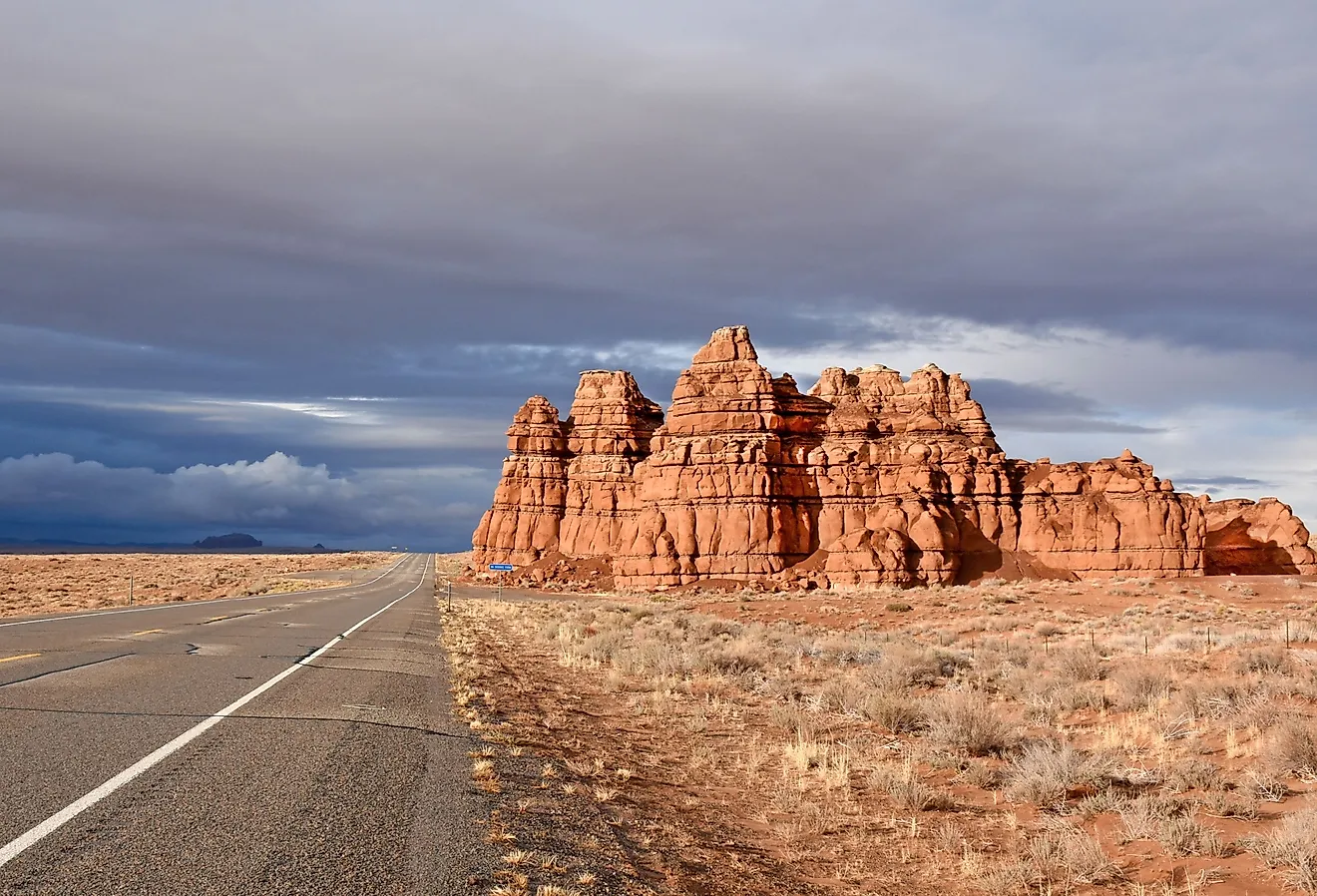
Flagstaff to Page via US-89

Leave Flagstaff northbound on US-89 for a drive of roughly 135 miles that usually takes about 2.5 hours. Within minutes, the ponderosa pine forest gives way to open high desert. The road climbs and descends gradually across the Coconino Plateau with broad sightlines and minimal development.
At Cameron, cross the Little Colorado River and continue toward Page. Before reaching town, take the signed turnoff for Horseshoe Bend. The parking lot sits right off US-89, making it one of the easiest major viewpoints to reach on this route.
This drive feels remote without being technically difficult. Wide shoulders and straight stretches make it manageable, but the open terrain and light traffic keep it engaging. Summer heat can be extreme near Page, so morning departures are best.
Tucson to Bisbee via AZ-80

From Tucson, take I-10 east to Benson, then connect to AZ-80 southeast toward Tombstone and Bisbee on a route of about 95 miles that takes around 2 hours. The road cuts through broad desert valleys framed by the Dragoon Mountains and Mule Mountains.
Pause in Tombstone for a quick walk through the historic center, then continue on AZ-80 into the Mule Pass Tunnel just west of Bisbee. The climb into Bisbee includes tight curves and noticeable grade changes. Use designated pull-offs for photos rather than stopping along narrow shoulders.
This drive stands out for its mountain-pass finish. The final approach to Bisbee feels earned after open desert miles. Watch for monsoon storms in July to September, which can reduce visibility quickly.
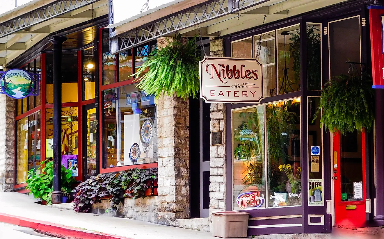
Prescott to Jerome via AZ-89A

Leave Prescott northbound on AZ-89A toward Jerome on a short but demanding drive of about 35 miles that still takes roughly an hour because of the curves. This route delivers some of Arizona’s tightest mountain driving. The road climbs through pine forest before descending sharply into the Verde Valley.
The stretch between Mingus Mountain and Jerome features switchbacks and steep grades. Use pull-offs near the summit for views across the valley. In winter, this section can see ice and snow.
It works as a road trip because the drive stays engaging from start to finish. It is not long, but it offers sustained elevation change, forested ridges, and exposed canyon views. Plan to fuel up in Prescott or Cottonwood before starting.
Safford to Alpine via US-191

US-191 between Safford and Alpine covers about 140 miles and usually takes 3 to 4 hours, making it one of Arizona’s most technical drives. Starting in the desert basin near Safford, the highway climbs into the Apache-Sitgreaves National Forests.
This stretch of US-191, often associated with the old ‘Devil’s Highway’ nickname from its U.S. 666 days, includes hundreds of curves, sustained grades, and minimal services. Fuel up before departure. Elevation increases from under 3,000 ft to over 9,000 ft near Hannagan Meadow.
This road is best for confident drivers because of its continuous terrain change. Desert scrub transitions to dense forest and alpine meadow. Summer is ideal. Winter snow and ice can create temporary closures or restrictions at higher elevations.
Wickenburg to Kingman via US-93

Start in Wickenburg and head northwest on US-93 for a drive of about 130 miles that typically takes around 2.5 hours. The road runs through wide Sonoran Desert valleys and low mountain passes. Traffic moves quickly, so plan pull-offs carefully.
Near Nothing, Arizona, roadside signage provides a quick stop opportunity before continuing north. As you approach Kingman, the terrain becomes rockier with higher desert elevations.
This drive works for those who appreciate distance, open desert, and long, uninterrupted views. The wide highway allows steady pacing, and winter temperatures are comfortable compared to summer’s extreme heat.
Globe to Show Low via US-60

Leave Globe eastbound on US-60 for a route of roughly 90 miles that usually takes about 2 hours. The highway immediately begins climbing through the Salt River Canyon, often called Arizona’s “mini Grand Canyon.” Expect tight curves and multiple scenic pull-offs managed by the state.
After cresting the canyon, the road climbs toward a pine forest near Show Low. Elevation change is significant, and temperatures drop noticeably.
This drive stands out because the canyon section demands focused driving, while the final miles relax into forest highway cruising. Check the weather in winter, as snow can impact higher sections.
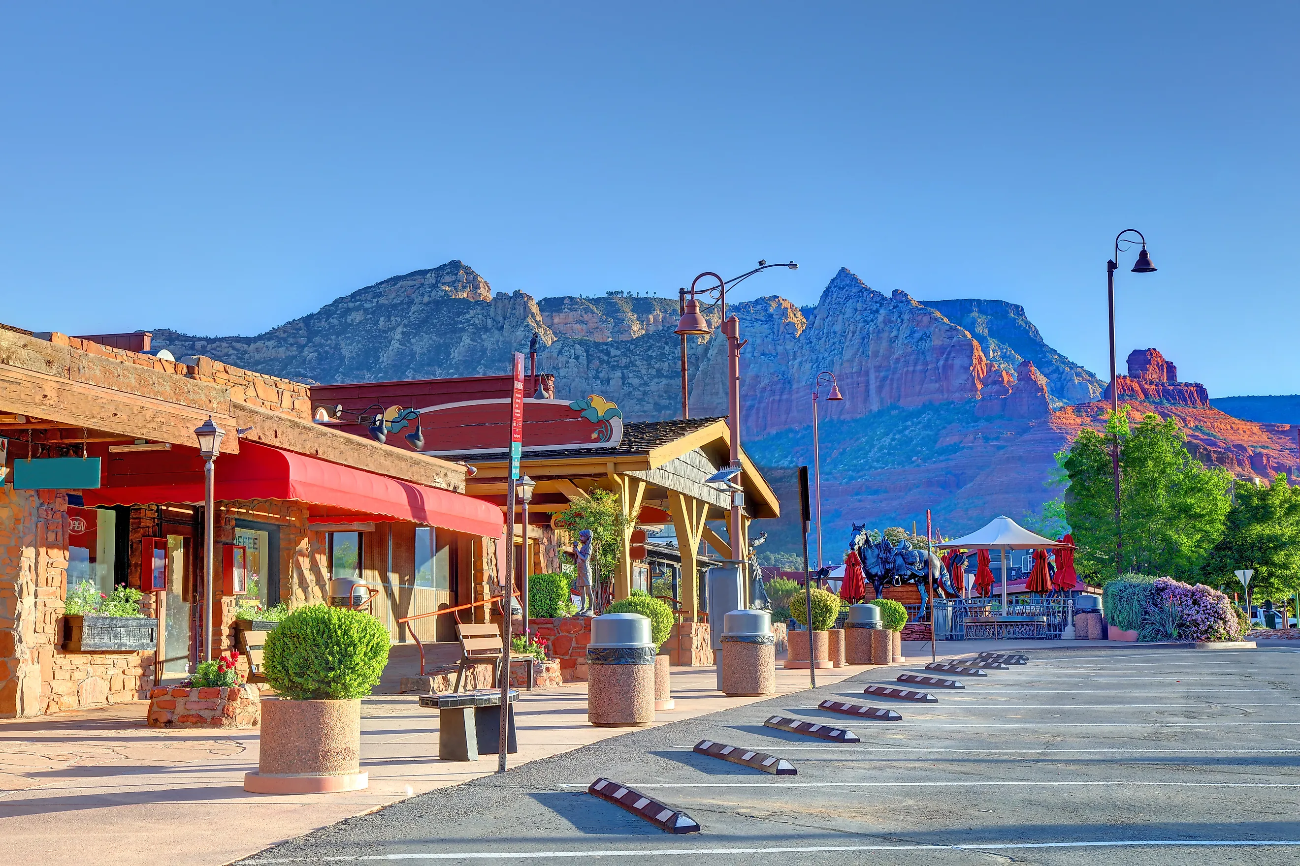
Williams to Grand Canyon South Rim via AZ-64

Start in Williams and take AZ-64 north to the Grand Canyon South Rim on a drive of about 60 miles that usually takes around 1.5 hours. The road moves through high forest and open plateau with minimal development.
Traffic increases closer to the park entrance, especially in summer. Arrive early to avoid entrance delays. Once inside Grand Canyon National Park, continue to Grand Canyon Village, then follow Desert View Drive east for additional overlooks in sequence.
This route builds anticipation gradually. The forested plateau keeps views limited until the canyon reveals itself. Fall and early spring offer lighter traffic.
Where the Road Changes the Trip
What separates these drives is how differently they use the road. Some rely on tight mountain sections that demand attention, while others work through distance, pacing, and the slow buildup into a major view or elevation change. Taken together, they show that in Arizona, a memorable road trip is often defined less by mileage than by how much the route changes between the starting point and the stop at the end.