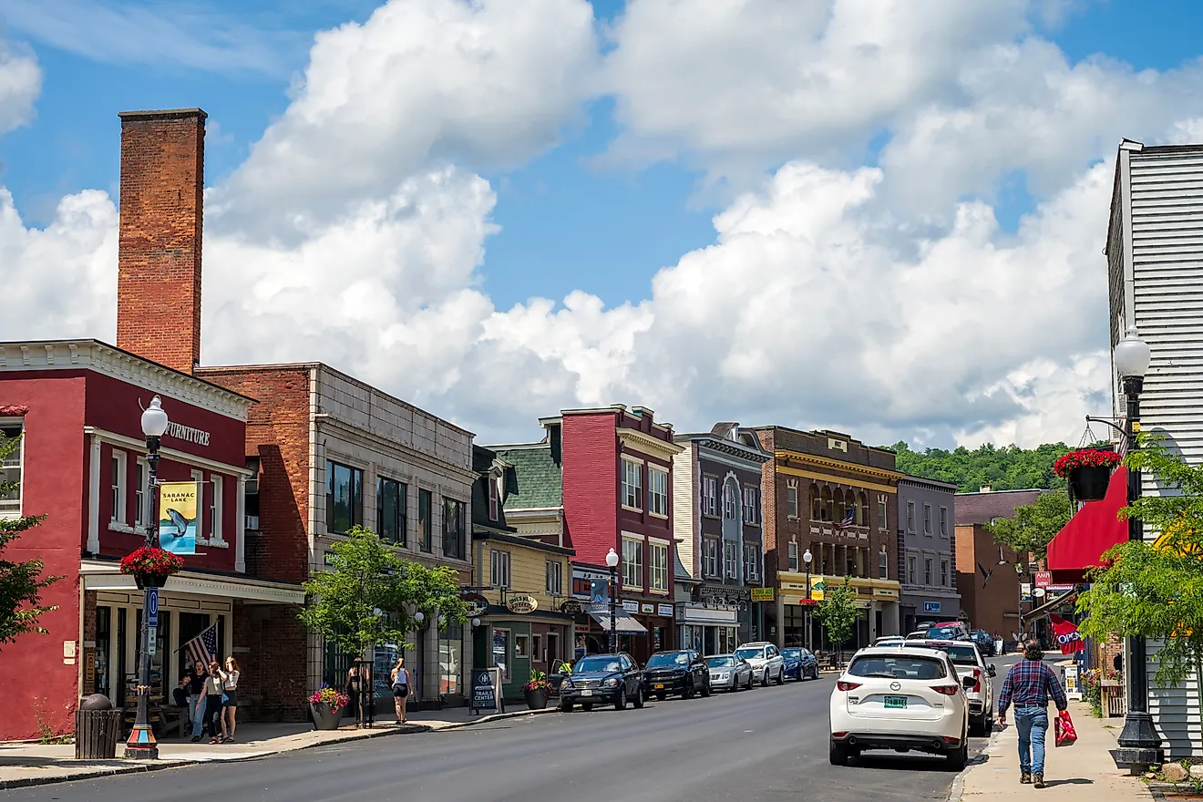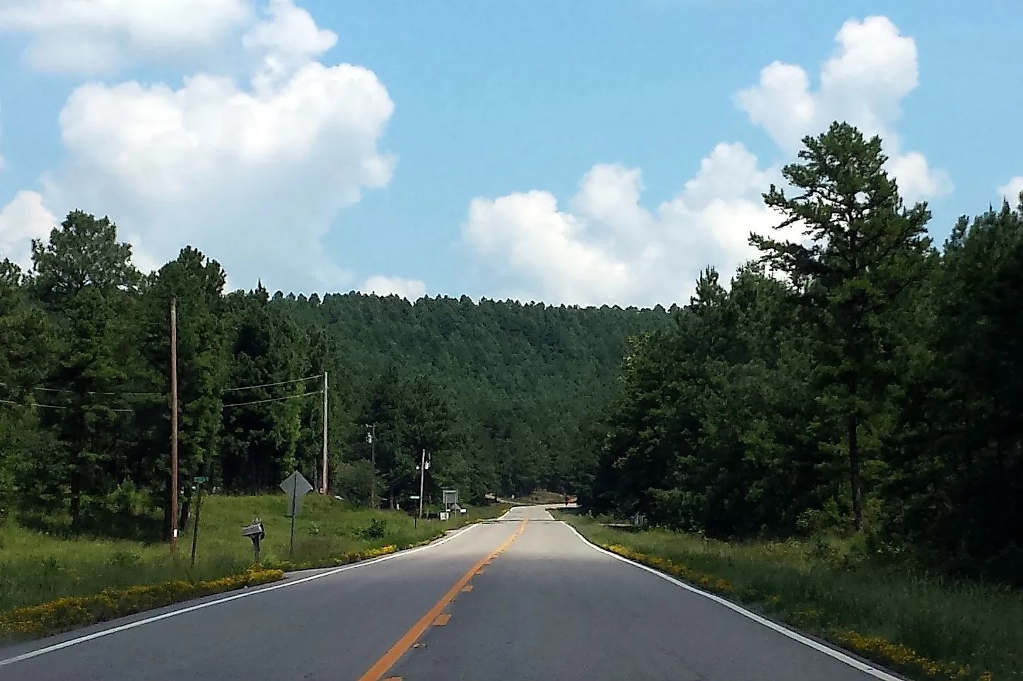
7 Most Scenic Drives in Arkansas
Arkansas' most scenic drives trace ridgelines through the Ozark Mountains and follow river corridors carved into limestone. On routes like Scenic Highway 7 and the Pig Trail, elevation shifts quickly reshape the landscape, transitioning from dense hardwood forest to open overlooks within a short distance. Elsewhere, drives like the Great River Road trade elevation for scale, where wetlands and farmland stretch uninterrupted toward the horizon. Across all seven routes, the scenery unfolds continuously from the road, making the drive itself the main attraction.
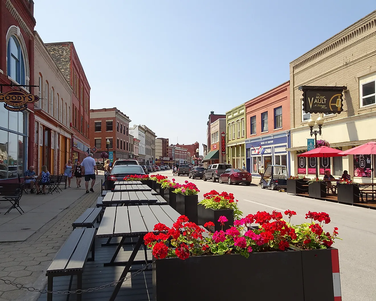
Pig Trail Scenic Byway (Arkansas Highway 23)

A narrow, winding stretch of AR 23 runs 19 miles between Ozark and Brashears, cutting directly through the Boston Mountains, the highest and most rugged section of the Ozarks. Beginning near Ozark, the road quickly leaves open farmland behind and slips into dense woodland. From there, it compresses into a sequence of tight curves and steep grades, frequently enclosed by a hardwood canopy that forms a tunnel of green in spring and summer before shifting to deep reds and golds in the fall.
Midway through, the highway crosses the Mulberry River, a popular paddling route that appears alongside the road in brief intervals. Just beyond the crossing, The Turner Bend Store has served travelers since 1911, offering fuel, food, river access, and a campground set along the water. Past this point, the road continues to rise and fall in quickly, briefly intersecting the Ozark Highlands Trail before reaching Brashears, where the terrain begins to ease.
Dry conditions and daylight travel are recommended, as the route remains narrow with frequent blind curves and limited shoulder space. Traffic is typically light, though fall weekends bring increased volume from those seeking peak foliage.
Arkansas Scenic 7 Byway (Arkansas Highway 7)

Stretching roughly 290 miles from Harrison to Hot Springs, Scenic Highway 7 runs the length of the state, linking four distinct geographic regions in a single continuous drive. Just south of Harrison near Bull Shoals Lake, the route immediately enters the Ozarks, where tight curves and steady elevation changes define the opening stretch.
Near Jasper, the highway climbs out of the Little Buffalo River Valley and briefly levels along a ridgeline, where pull-offs reveal layered hills extending across what is often called the Arkansas Grand Canyon. From there, the road gradually widens and descends toward Russellville, where the landscape shifts to open farmland before crossing the Arkansas River.
South of Arkadelphia, the landscape changes again as the route enters the Ouachita Mountains. Here, pine forests replace hardwoods, and the road resumes a pattern of climbs and descents. It skirts the edge of DeGray Lake Resort State Park, where glimpses of water appear through breaks in the trees, before continuing toward Hot Springs.
The full route is best approached as a full-day drive or divided into segments. Road conditions are generally well-maintained, though curves remain frequent in the northern portion. Fall is the most popular season, while spring offers higher water levels and blooming wildflowers.
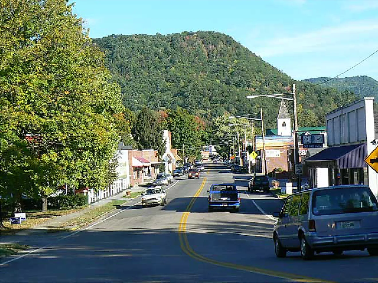
Mount Magazine Scenic Byway (Arkansas Highway 309)

Beginning near Havana, AR 309 climbs toward Mount Magazine, the highest point in Arkansas at 2,753 feet. The initial ascent is gradual before tightening into a series of switchbacks that wind through thick forest, with occasional openings that reveal the Arkansas River Valley below.
At the summit, Mount Magazine State Park features multiple overlooks positioned just off the roadway, with views stretching south toward Blue Mountain Lake and the Ouachita Mountains, and north across the Arkansas River Valley toward the Ozarks. The elevation brings noticeably cooler temperatures, and on clear days, visibility extends for miles.
The descent toward Paris drops more than 2,300 feet, passing Cove Lake before transitioning into rolling pastureland marked by hayfields and scattered hardwoods. This shift from steep, forested slopes to open countryside gives the drive its contrast.
The byway covers approximately 45 miles, with nearly half located within Ozark National Forest. While fully paved, the steep grades and tight turns—particularly on the ascent—require attentive driving.
Boston Mountains Scenic Loop (Interstate 49 & US Route 71)

Linking Fayetteville to Alma, this loop combines two parallel routes that cross the Boston Mountains in distinctly different ways. Departing Fayetteville, I-49 climbs steadily past Kessler Mountain before transitioning onto high-span bridges that carry the roadway over deep valleys. Near Winslow, the interstate passes close to Devil’s Den State Park, where forested ridges and exposed sandstone formations shape the terrain. The route also includes the state’s only highway tunnel, cutting through the mountain rather than over it.
Returning via US 71 introduces a slower pace, passing through Mountainburg and skirting Lake Fort Smith State Park. This portion includes several pull-offs, offering opportunities to take in the surrounding ridgelines without the speed of interstate traffic. I-49 spans roughly 38 miles, while US 71 extends about 42 miles. Both routes remain accessible year-round, though fog and rain can reduce visibility at higher elevations.
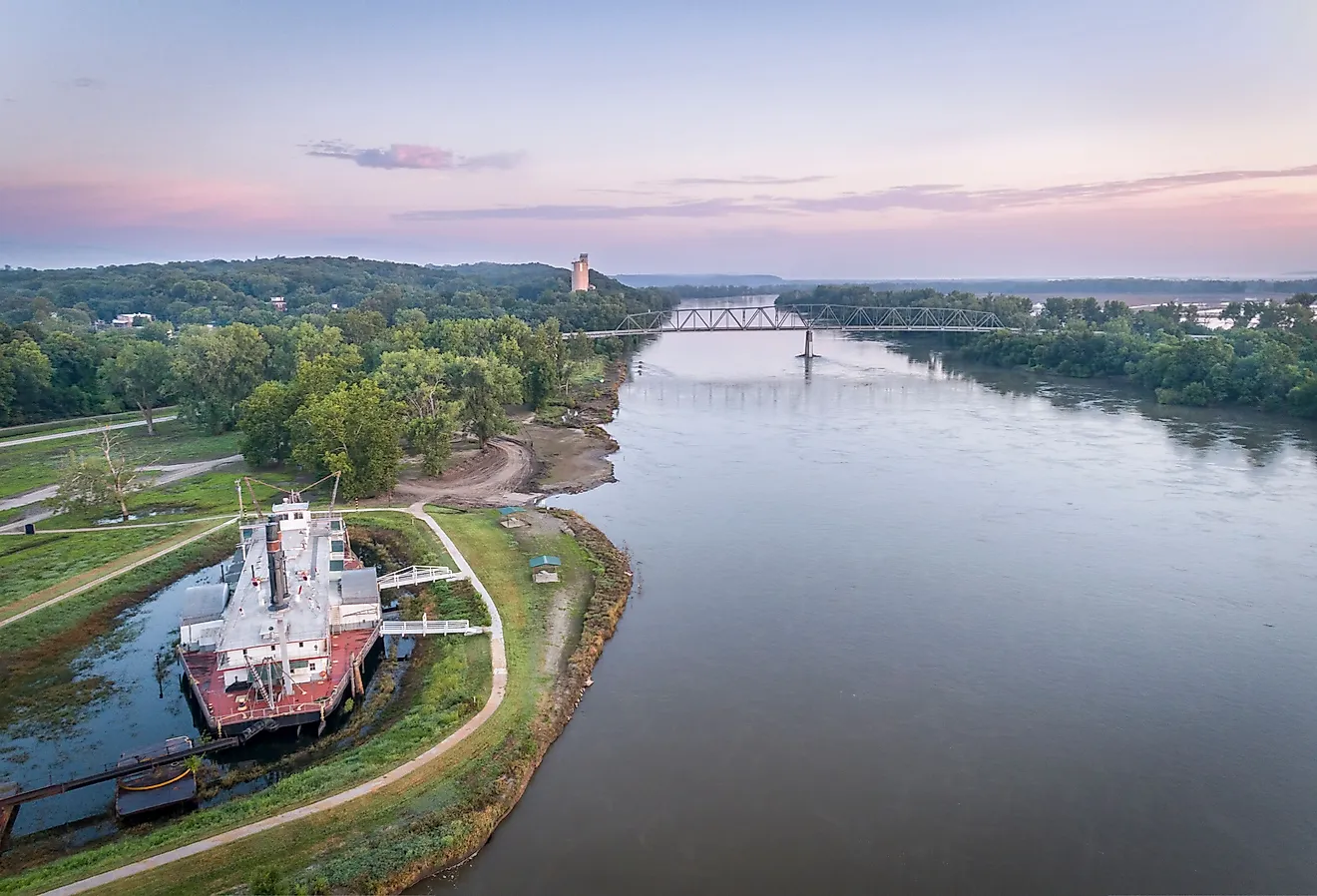
Great River Road (Arkansas Segment)

Following a network of highways including Arkansas Highway 1 (AR 1), Arkansas Highway 44 (AR 44), and US Route 165 (US 165), the Arkansas portion of the Great River Road stretches 391 miles from Lake Village to West Memphis. In contrast to the state’s mountain routes, this drive remains largely level, tracing the Mississippi River along levees and across agricultural land shaped by centuries of flooding. The southern section begins near Lake Chicot State Park, where oxbow lakes and wetlands reflect the river’s shifting course.
Moving north, the route passes through small Delta towns and long stretches of farmland before entering the wooded areas of St. Francis National Forest. Farther north, Big Lake National Wildlife Refuge introduces cypress swamps and shallow water habitats visible from roadside pull-offs. Much of the drive follows levees or runs adjacent to them, providing unobstructed views across fields and toward the river.
Sunrise and sunset offer the most striking conditions, when light reflects across the flat terrain. Roads are generally straight and easy to navigate, with light to moderate traffic.
Sylamore Scenic Byway: The Mountain View Loop

Though officially a 26.5-mile linear route from Calico Rock to Blanchard Springs, the Sylamore Scenic Byway is often driven as a loop starting and ending in Mountain View via Arkansas Highway 5/9 and Arkansas Highway 14. (Note: Highways 5 and 9 share the same stretch of pavement between Mountain View and Allison, where the byway then turns west.) This quieter, less-traveled route through the Ozark National Forest is shaped by limestone formations and dense woodland.
Along AR 14, the terrain becomes more rugged as the road bends beside Sylamore Creek, with limestone bluffs appearing intermittently above the tree line. At the southern end, Forest Service Road 1110 (also known as County Road 54) leads to Blanchard Springs Caverns, a key landmark with parking and facilities just off the roadway. From there, AR 5/9 gradually leads back toward Mountain View, alternating between forested stretches and more open sections. Traffic remains minimal throughout, reinforcing the route’s slower pace.
Spring and fall offer the most visual contrast, though the drive remains accessible year-round. Curves are consistent but less aggressive than those found on routes like the Pig Trail.
Crowley’s Ridge National Scenic Byway (Arkansas Highways 1, 42, and 135)

Extending roughly 198 miles from Helena-West Helena to Paragould, this byway follows a narrow ridge that rises up to 200 feet above the otherwise flat Mississippi Delta. The elevation change is gradual but continuous, creating a clear contrast between wooded uplands and the surrounding farmland. After branching off from the Great River Road, the route climbs onto the ridge, where hardwood forests replace open fields. Moving north, it passes through small towns and the southern sections of St. Francis National Forest, with orchards and farmland visible below the ridge line. Keep in mind that an 11.5-mile section through the forest is well-maintained gravel.
Seven state parks lie along the byway, according to the Arkansas Tourism website, including Crowley's Ridge State Park in Paragould, Arkansas. However, the most immediate visual impact might come from the terrain itself, consisting of rolling hills appearing unexpectedly within an otherwise level region. The byway follows a mix of highways and local roads, narrowing at points as it passes through rural areas. Designated as both a state scenic byway and a National Scenic Byway, this route sees relatively light traffic. Spring and fall provide the strongest contrast between forest and farmland.
Across Arkansas, these drives highlight how quickly the landscape shifts from one region to the next. Mountain ridgelines transition into river valleys, dense forests give way to open farmland, and elevated viewpoints fade into wide, uninterrupted horizons. Experiencing these changes from behind the wheel offers a clear sense of the state’s geographic range, where the journey itself becomes the most direct way to take it all in.