This Arkansas Scenic Byway Is The Road Trip Of A Lifetime
Stretching 198 miles through eastern Arkansas before dipping into Missouri, Crowley’s Ridge Parkway follows the crest of one of the region’s most distinctive natural formations. Rising up to 250 feet above the Mississippi Alluvial Plain, the ridge offers rolling hills, forested landscapes, and diverse wildlife that contrast sharply with the flatlands below.
Along the route, you’ll pass through towns like Helena-West Helena, Marianna, Paragould, and Piggott, while discovering historic sites, state parks, and scenic overlooks. Hardwood forests, pine stands, prairie grasses, and wetlands create a changing landscape that offers fresh sights and colors throughout the year. On your next road trip, this parkway provides a scenic route for you to experience the natural beauty and rich cultural history of northeastern Arkansas.
Day 1: Helena-West Helena To Marianna

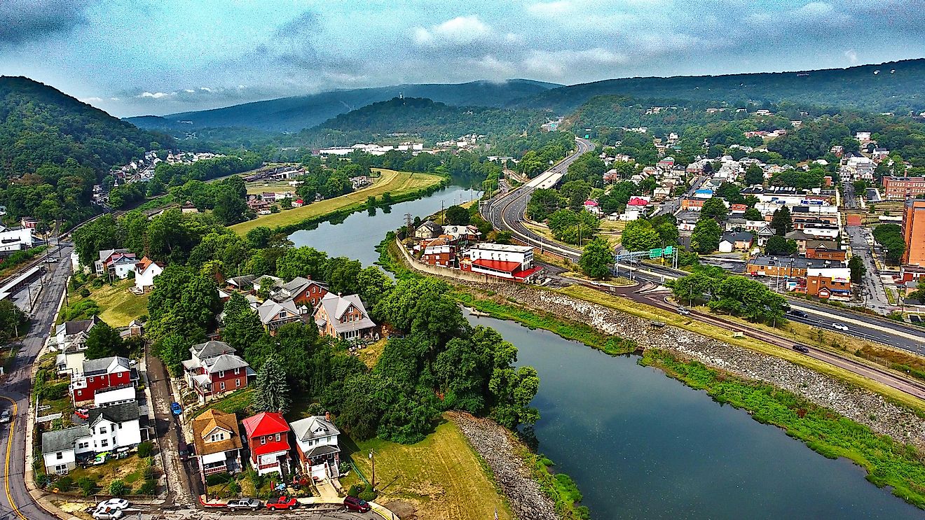
Your journey begins in Helena-West Helena, near the Mississippi River, where the Arkansas Delta’s flat alluvial plain meets the rising ridge. In Helena, you can explore historical markers for the Battle of Helena, visit local museums, and walk through the city’s historic districts. Be sure to stop by the Delta Cultural Center, which preserves and interprets the rich heritage of the region through exhibits on blues music, Civil War history, and river life. The museum also offers interactive displays that highlight the unique cultural and natural landscape surrounding Crowley’s Ridge.
As you leave town, Crowley’s Ridge Parkway follows U.S. Route 49 Business north, winding through small neighborhoods and farmland. Shortly after leaving Helena, you’ll enter the St. Francis National Forest, where upland hardwoods meet lowland wetlands. Storm Creek Lake within the forest provides a natural stop for a short hike, picnic, or photo opportunity. As you continue north toward Marianna, you’ll pass orchards, open farmland, and forested hills that show the ridge’s gradual rise.
Day 2: Marianna To Paragould

Leaving Marianna, continue along Arkansas Highway 1 to Village Creek State Park, which boasts nearly 7,000 acres of forested hills, streams, and lakes characteristic of Crowley’s Ridge. You can explore more than 30 miles of multi-use trails that wind through pine and oak woodlands and wetlands, providing a chance to spot migratory birds and other wildlife. A preserved section of the Trail of Tears follows the Old Military Road Trail, letting you trace part of the route once used by the Cherokee, Choctaw, Creek, and Chickasaw nations during their forced removal. You’ll find campgrounds, cabins, picnic areas, and a visitor center offering interpretive programs throughout the year. For more recreation, try a round at the Ridges at Village Creek, a 27-hole golf course.

As you continue north to Paragould, stop at Crowley’s Ridge State Park to experience both the natural and historical features of the region. Built in the 1930s by the Civilian Conservation Corps, its native stone and log structures showcase early park design in Arkansas. You can stay in cabins or campsites, picnic near the lake, or fish and kayak on the park’s 31-acre waterway. Trails like the Walcott Lake Trail and Spider Creek Trail lead you through shaded forests, highlighting the ridge’s geology and plant life, with overlooks that offer sweeping views of the surrounding delta plains.
Day 3: Paragould To Piggott

From Paragould, follow Crowley’s Ridge Parkway toward Piggott, passing through more hardwood forests, prairie patches, and farmland. Along the route, you can detour to Chalk Bluff Battlefield Park, an Arkansas Natural Heritage Area with hiking trails, picnic facilities, and Civil War interpretive plaques. The bluff overlooks the St. Francis River and historically served as both a transportation and military site.

In Piggott, stop by the Hemingway-Pfeiffer Museum and Educational Center, one of the best museums in Arkansas, where you can see the place where Ernest Hemingway wrote parts of "A Farewell to Arms." The museum also presents exhibits on life in Northeast Arkansas during the Depression and New Deal eras, including regional agriculture, family life, and community development. Displays on 1930s literature and major world events provide context for the area’s cultural and historical setting.
Traveling Along Crowley’s Ridge Parkway In Arkansas
Crowley’s Ridge Parkway takes you on a scenic journey through eastern Arkansas’s unique landscapes, stretching from Helena-West Helena to the Missouri border. Along the way, you’ll pass through rolling hills, hardwood forests, wetlands, and prairie grasses, all offering ever-changing views. Historic towns, Civil War markers, and small museums let you explore the region’s rich cultural heritage, while state parks give you opportunities for hiking, fishing, picnicking, and wildlife observation. With well-maintained roads and clear signage, you can enjoy forested trails, open vistas, and panoramic overlooks year-round. The combination of natural beauty, geological significance, and cultural sites makes Crowley’s Ridge Parkway a memorable and immersive experience.