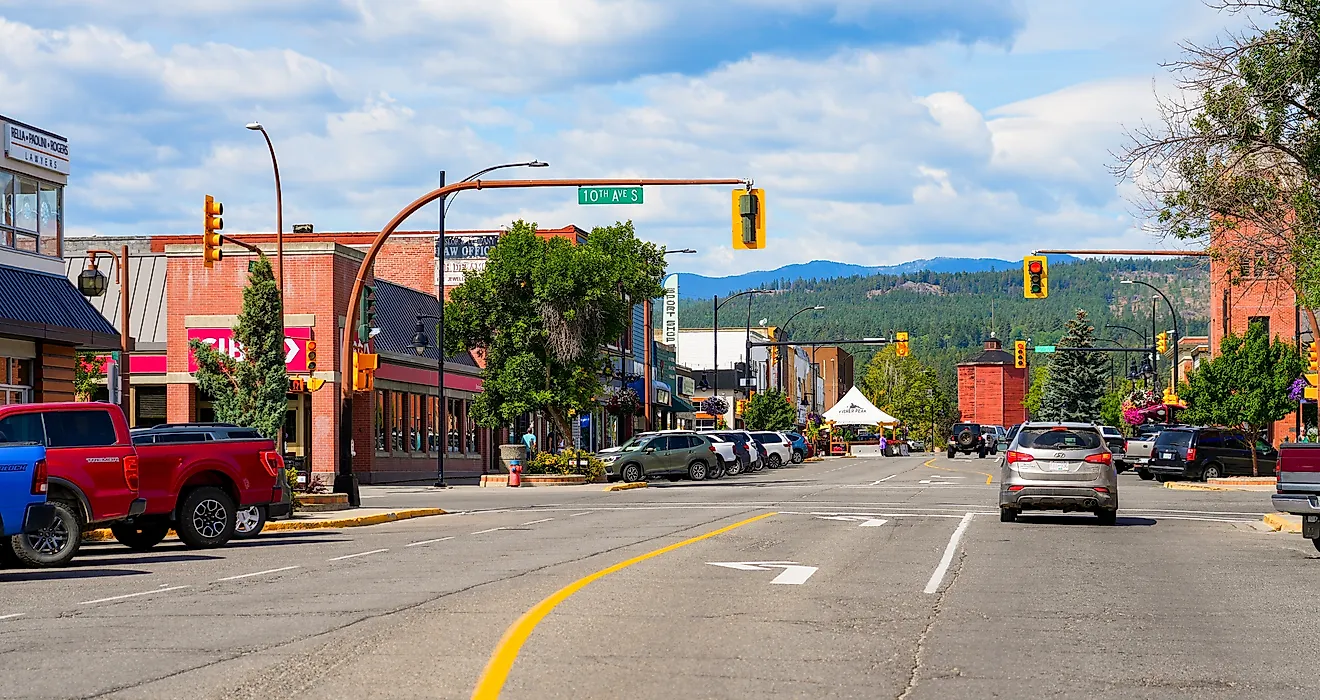
7 Most Scenic Drives in Alabama
Grab a capable camera, slip into comfortable casual wear, and hit the road to explore some of Alabama’s most breathtaking landscapes. While Colorado may dazzle with its dramatic peaks, certain corners of Alabama come remarkably close. From the gentle elevations of the state’s central highlands to the stunning white sands of the Redneck Riviera, the scenery is nothing short of extraordinary. Curious which drives will leave you spellbound? Read on to uncover the seven most scenic routes in Alabama, and don’t forget to cue your favorite playlist.
Natchez Trace Parkway

Natchez Trace Parkway is not just a drive; it’s a journey through thousands of human history. Historians believe that for about 10,000 years, the Natchez Trace Parkway has been used for different purposes, including trade, movement, and communication. Although the entire stretch spans 444 miles, the Alabama section meanders for approximately 33 miles through the state's northwest corner. This portion might be shorter than its counterparts in the neighboring states, but it is incredibly rich in natural beauty and historical significance, especially when bathed in autumn’s glow. The Muscle Shoals area is a fantastic place to access the historic travel corridor, thanks to its restaurants and hotels, from Spartan to luxurious.

But if you prefer a strictly linear direction, the trip begins about 14 miles southwest of the town of Cherokee and terminates at the Alabama-Tennessee State Line Sign near Cypress Creek, about 20 miles northeast of Cherokee. If coming from the Mississippi side, peel your eyes for Buzzard Roost Springs Parking Loop, which has a creek, a nice little shop, and fabulous views. There's Colbert Ferry Park, an awesome picnic spot with stunning views of the river. Further along is Rock Spring, yet another scenic stop with a cool, clear spring. It serves as a tranquil setting for a brief stretch and a moment of reflection. Remember to fill your tank or have enough gas, because there are no gas stations directly on the parkway.
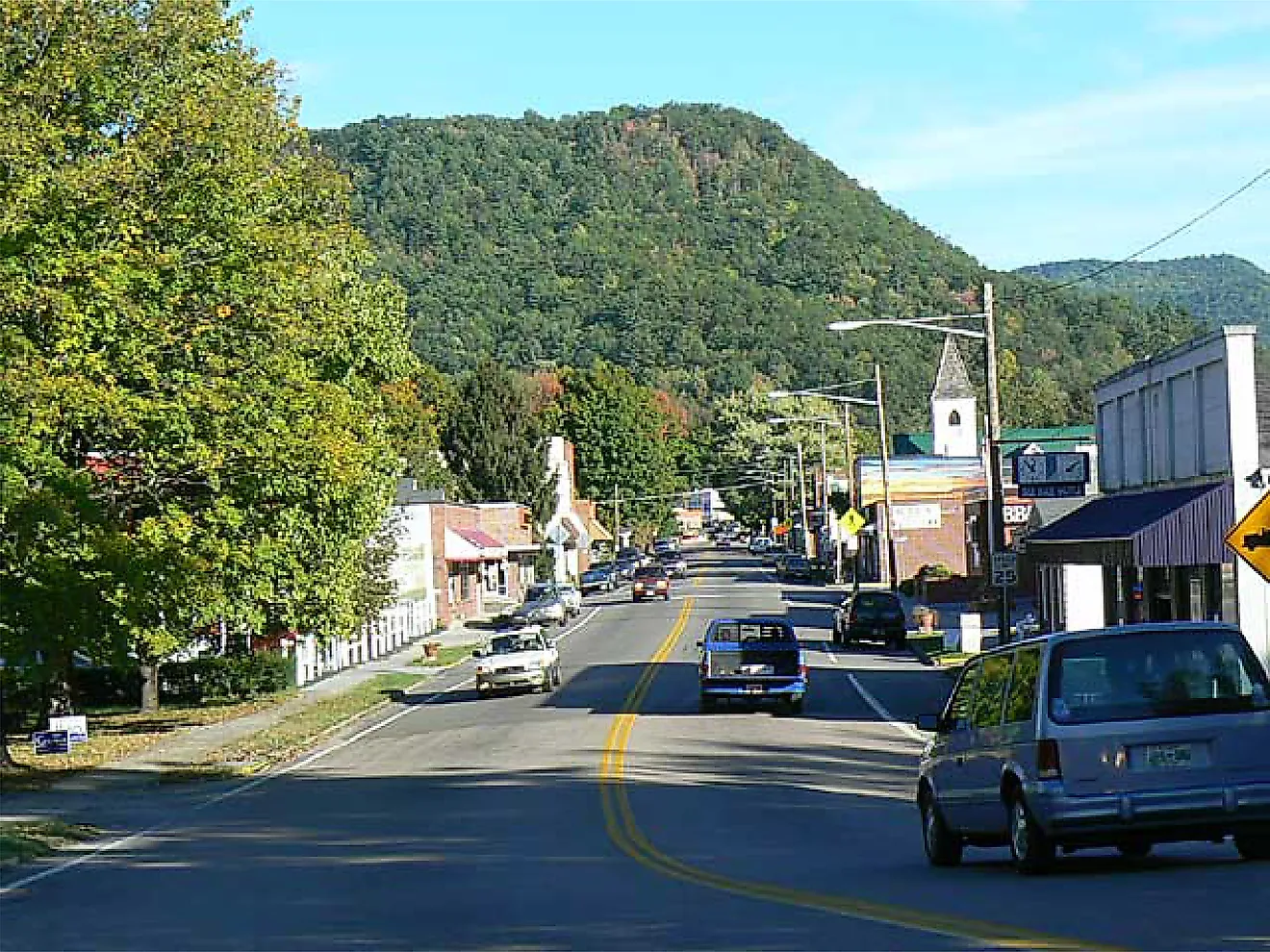
Talladega Scenic Drive

Imagine you are cruising through dense Appalachian woodland, rocky ridges, and rolling hills, the kind of scenery that many associate with Colorado. Talladega Scenic Drive is unique because it climbs to 2,407 feet (734 m) at Cheaha Mountain, Alabama’s highest point, and offers spectacular panoramic views. The drive, officially designated as Alabama State Route 281, begins at the intersection of US 78/SR 9 just west of Heflin, winds through the peaceful Talladega National Forest for about an hour, and terminates at Ashland near Adams Gap.

Highlights on way from Heflin include the Talladega National Forest; Shoal Creek Ranger District, which features spectacular mountain views; The Barn at 839, a popular wedding venue with looks that melt the heart; Cheaha Scenic Lookout, whose humbling scenery is unmatched (and don't mention the dazzling subsets); and Cheaha Trailhead Pinhoti Trail, which links to the Pinhoti and down to the Cheaha Wilderness. Cheaha State Park Store has a gasoline pump and basic snacks to keep you energetic, while Turnipseed Campground has secluded trails and tranquil camp sites.
Coastal Connection Scenic Byway

Think of a byway that touches white-sand beaches, peaceful barrier islands, dreamy bays, lazy estuaries, grassy marshlands, and slow-paced historic towns, in the process combining natural beauty, fascinating history, and vibrant local culture. The Coastal Connection Byway spans approximately 130 miles. It begins in the west at I-10 in the community of Grand Bay and ends in the east at I-10 in Daphne. It includes spurs that connect to noteworthy historic sites and wildlife refuges. The whole drive can take about 4 hours, depending on the number of stops and one's pace.

However, for those who prefer a shorter segment, one of the most beautiful stretches is between Fort Morgan and Gulf Shores, an hour-long stretch of unalloyed bliss. Lounge at Fort Morgan Beach, peruse the historical memorabilia at Fort Morgan Museum & Gift Shop, then hit the road for Gulf Shores, aiming for several other unforgettable attractions, including Pine Beach Trail, a great place to watch birds, jumping fish, and other wildlife. It also offers a big wooden lookout. There's the Bon Secour National Wildlife Refuge Visitor Center, a perfect place for a relaxing stroll, and Mo's Landing Park, an idyllic place to sit and watch the swaying blue.
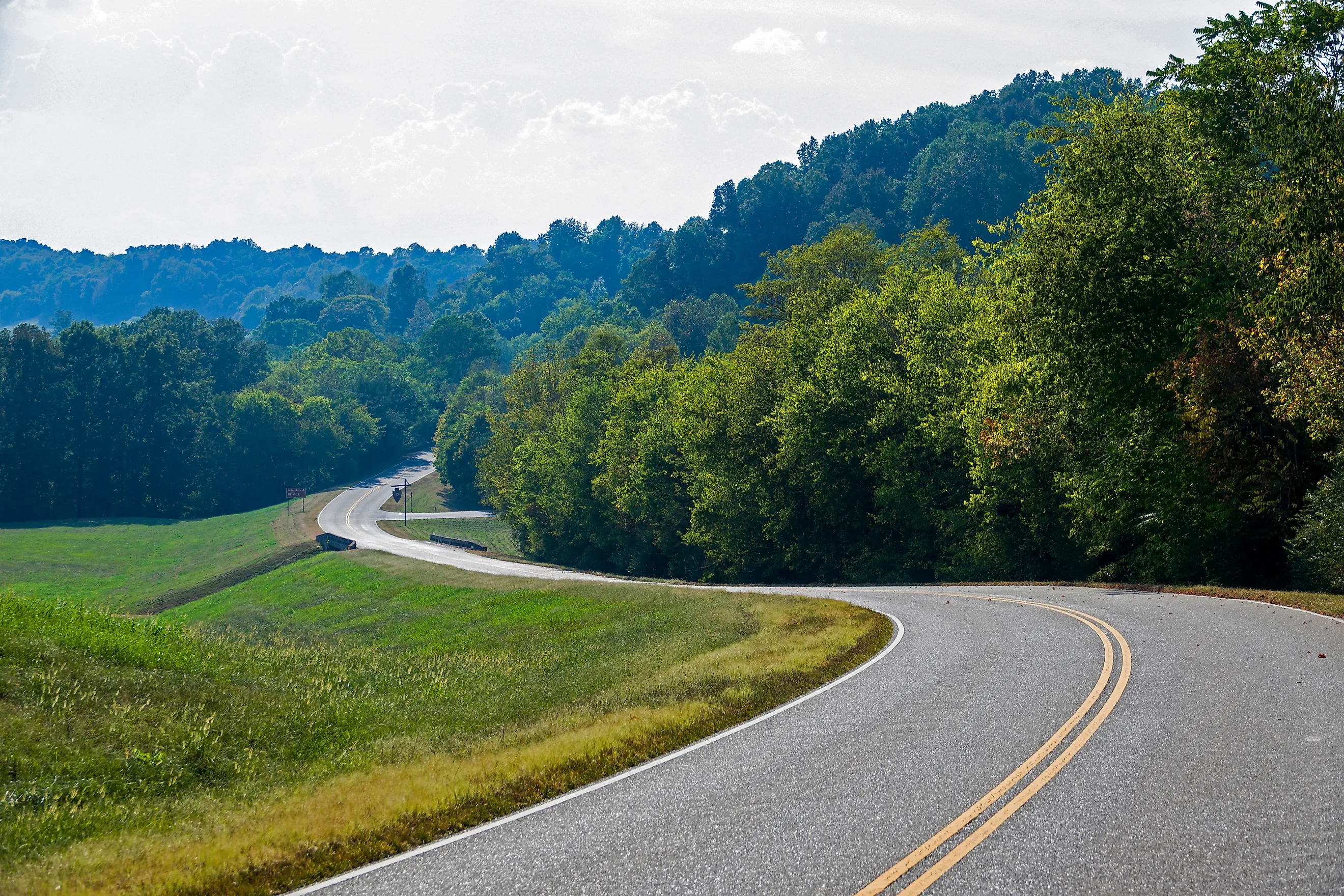
Alabama State Route 33 (AL-33) from Moulton to Double Springs

It doesn't get the attention it deserves, but Alabama State Route 33 (AL-33) from Moulton to Double Springs, with its curves and beautiful mountain views, will leave any tripper in a trance. It cuts through the Bankhead National Forest and, as a result, feels like being inside a huge wooded cathedral. Tall oaks, pines, and hardwoods arch over the road, especially where it narrows into winding forest paths, some of which branch off the main route. It is notably impressive during autumn foliage, so keep that in mind. This route passes near the Sipsey Wilderness, often called the "Land of a Thousand Waterfalls." If coming from the north, start with a hearty meal at Little Kountry Kitchen on Moulton's Court Street, a quiet, family-oriented cafe by the courthouse that serves delectable breakfasts.

After this, cruise down towards Double Springs, peeling your eyes for swoon-worthy highlights like McDougle Hunter Camp, a great place for primitive camping while deer hunting in the Bankhead Forest, Hurricane Creek Shooting Range, which offers enough yards for target-shooting, and, of course, the phenomenal Bankhead National Forest, arguably the essence of Alabama charm and natural beauty. Take note that the ethereal Sipsey Wilderness is locked inside the forest’s boundaries.
Selma to Montgomery National Historic Trail

This historic route follows the path of the 1965 Voting Rights March, an event that held the country in a vortex of tension and sent sympathetic shockwaves across the globe. It features significant Civil Rights landmarks, including the Edmund Pettus Bridge, the site of the brutal Bloody Sunday beatings of Civil Rights marchers, and the National Voting Rights Museum, an evocative place displaying items and stories relating to the voting rights campaign, from the beginning of the marches to the end of the struggle. The Selma to Montgomery Historic Trail spans 54 miles and follows the route of the historic march, beginning at the Brown Chapel African Methodist Episcopal (AME) Church in Selma.

The Lowndes Interpretive Center is about halfway between Selma and Montgomery along the Trail on U.S. Highway 80 near Whitehall. It features exhibits that narrate the history of the Voting Rights Movement, including the 1965 Selma to Montgomery Voting Rights March. Visitors may view the film "Never Lose Sight of Freedom" in the on-site theater. From the Alabama State Capitol in Montgomery, an extension to Tuskegee winds through rolling countryside, punctuated by lush, peaceful greenery.
The Black Warrior River Scenic Byway

The Black Warrior River Scenic Byway runs for about 12 miles along the eponymous waterway, which is often regarded as one of America’s best-kept secrets for boating. The historic downtown area of Tuscaloosa bookends the route on one side, while its counterpart in Northport plays a similar role on the other end. Three bridges are along the route, including the Paul W. Bryant Bridge, named for one of the world's greatest college football coaches. Of course, all bridges offer breathtaking views of the river and riverbanks.

Yet this route is not just about waterfront views. There are historic ruins, as well as interesting structures and markers, including the site of the Alabama State Capitol from 1826 until 1847. Several sites along and near the route are listed on the National Register of Historic Places. Other attractions to catch your eye include the Tuscaloosa River Walk, which features a paved trail along the river that's good for walking or jogging, and the Randall Family Park & Trailhead, a neat, peaceful space with awesome walking trails.
Lookout Mountain Parkway

Lookout Mountain has been immortalised in Martin Luther King Jr.’s “I Have a Dream” speech, widely regarded as one of the 20th century's finest speeches. The Lookout Mountain Parkway, which rambles along peaceful rural roads and features the lower Appalachians’ scenic splendor, is certainly a top contender for “the Most Scenic Drive in Alabama” title. Although it stretches across Lookout Mountain from Chattanooga, Tennessee, to Gadsden, Alabama, the Alabama segment is about 50 miles, from Noccalula Falls Park to the Georgia border near Mentone. Expect to see leaping cascades, yawning canyons, unique towns, and wonderful state parks.

Note that Lookout Mountain Parkway follows a mix of local county roads and state highways, not a single state route. Highlights include Noccalula Falls Park, where a paved path leads to a stellar view of the glittering waterfall that tumbles about 90 feet before plunging into Black Creek. The phenomenal Little River Canyon National Preserve is a short detour from the route and features a popular swimming hole called “hippie hole,” as is the DeSoto State Park, with its photo-worthy wildflowers and waterfalls.
So, although you don’t hear it often, Alabama is home to some of the most picturesque landscapes in the South. If you want to put this claim to the test, there’s no better way than lacing up and filling your tank for a cruise through its diverse landscapes. A decent variety of scenic drives showcase the state's natural beauty, historic landmarks, and charming small towns, some of which changed the course of America’s history. The Heart of Dixie is no mere footnote: it’s a treasure trove of underrated beauty and rich history.