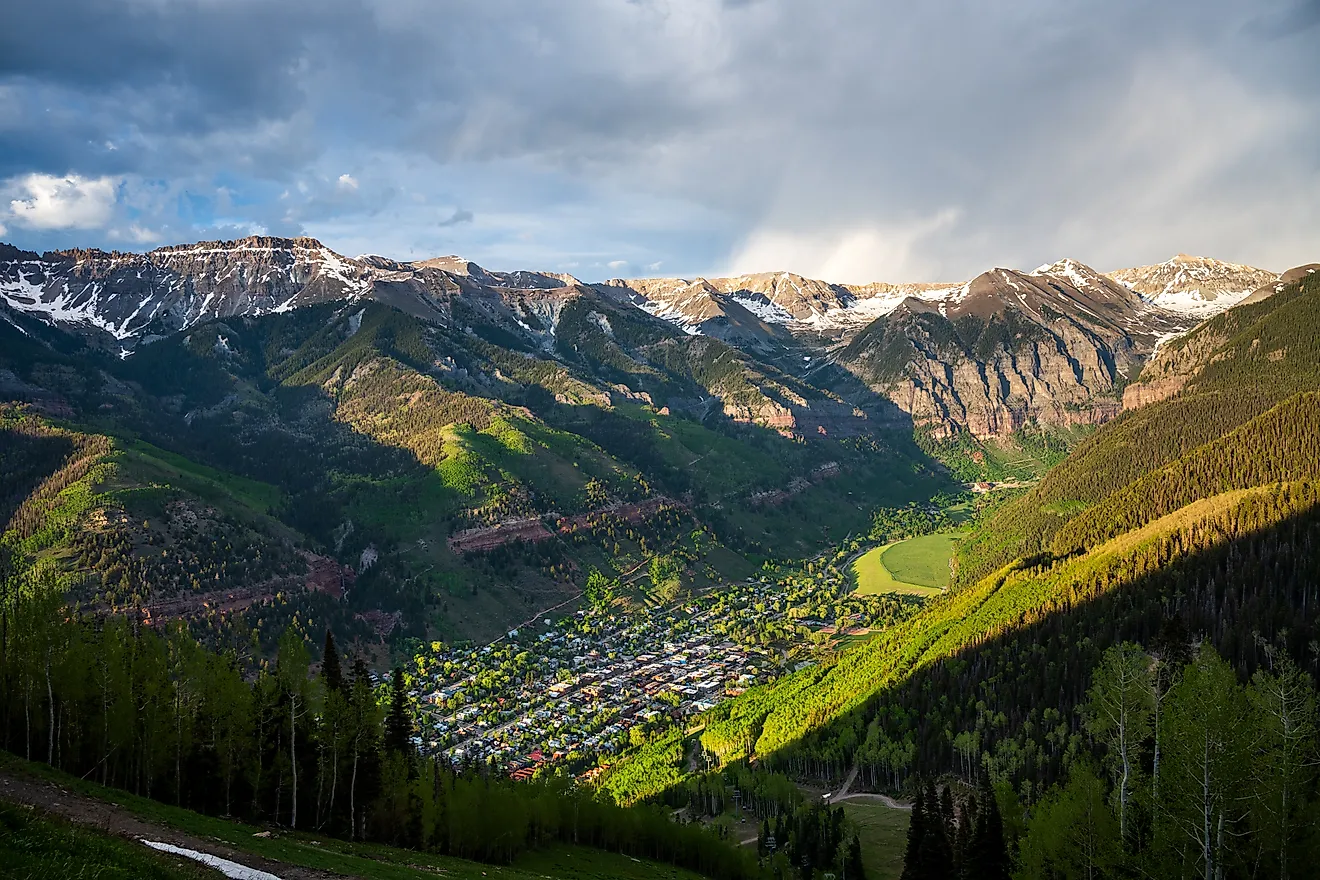
7 Great Road Trips to Take in Montana
Montana's scenic byways reveal the state's full diversity. The iconic Going-to-the-Sun Road climbs through Glacier National Park across the Continental Divide to the heights of Logan Pass. The equally stunning Beartooth Highway winds across rugged mountains near Yellowstone's edge. Further south, quieter routes like the Pioneer Mountain Scenic Byway and Skalkaho Pass trace remote valleys, climb forested ridgelines, and cross high mountain passes. Whether the view through your windshield is the sparkling shoreline of Lake Koocanusa or the canyons that line Big Sheep Creek, each of the seven byways below offers an unforgettable road trip experience.
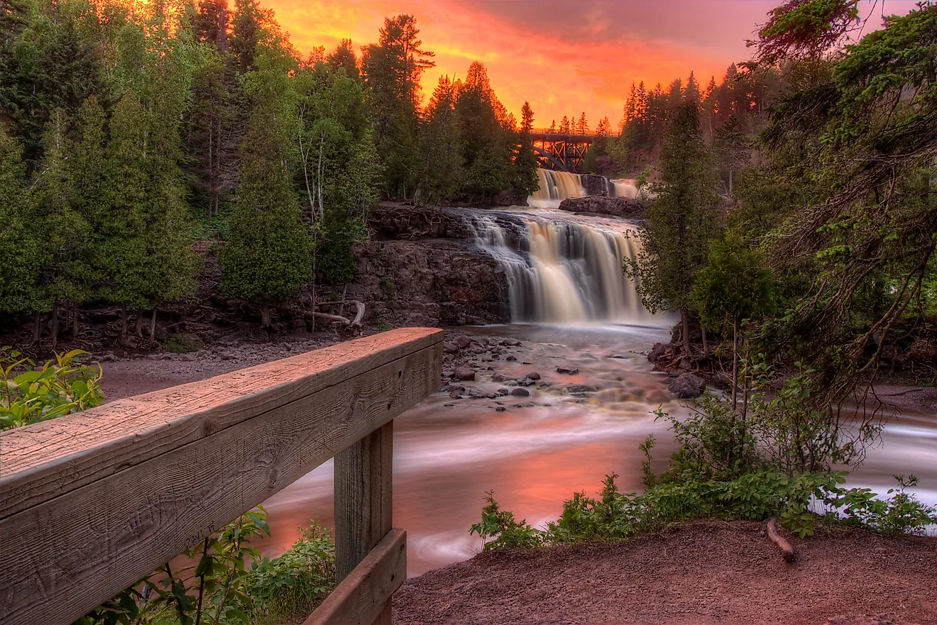
Going-to-the-Sun Road

Located in Glacier National Park, Going-to-the-Sun Road is a scenic attraction in its own right. Built between 1921 and 1933, the road crosses the Continental Divide at Logan Pass, reaching an elevation of 6,646 feet. Stretching approximately 50 miles, the drive takes at least two hours without stops, though most visitors spend considerably longer enjoying the views. For safety, speed limits are typically 45 mph at lower elevations and 25 mph in alpine sections. Gas is available in the Apgar and St. Mary areas near the ends of the road, but not along the route itself, so travelers should plan accordingly. Due to heavy snowfall, the full length of the road is typically only open from late June through mid-October, although lower elevation sections may be accessible for a longer portion of the year.

The paved two-lane road runs east to west across the park between the St. Mary and Apgar areas. Along the way, it passes glacial lakes, alpine tundra, and dense cedar forests. Numerous pullouts and viewpoints offer opportunities to stop and take in the scenery. Wildlife sightings are common, including mountain goats, bighorn sheep, bald eagles, and grizzly bears. For travelers wary of steep drop-offs, driving from west to east can often place vehicles on the inside lane in many sections, which some may find more comfortable. One of the road's engineering highlights is the Triple Arches, a striking multi-arched stone bridge built into the mountainside.
Beartooth Highway

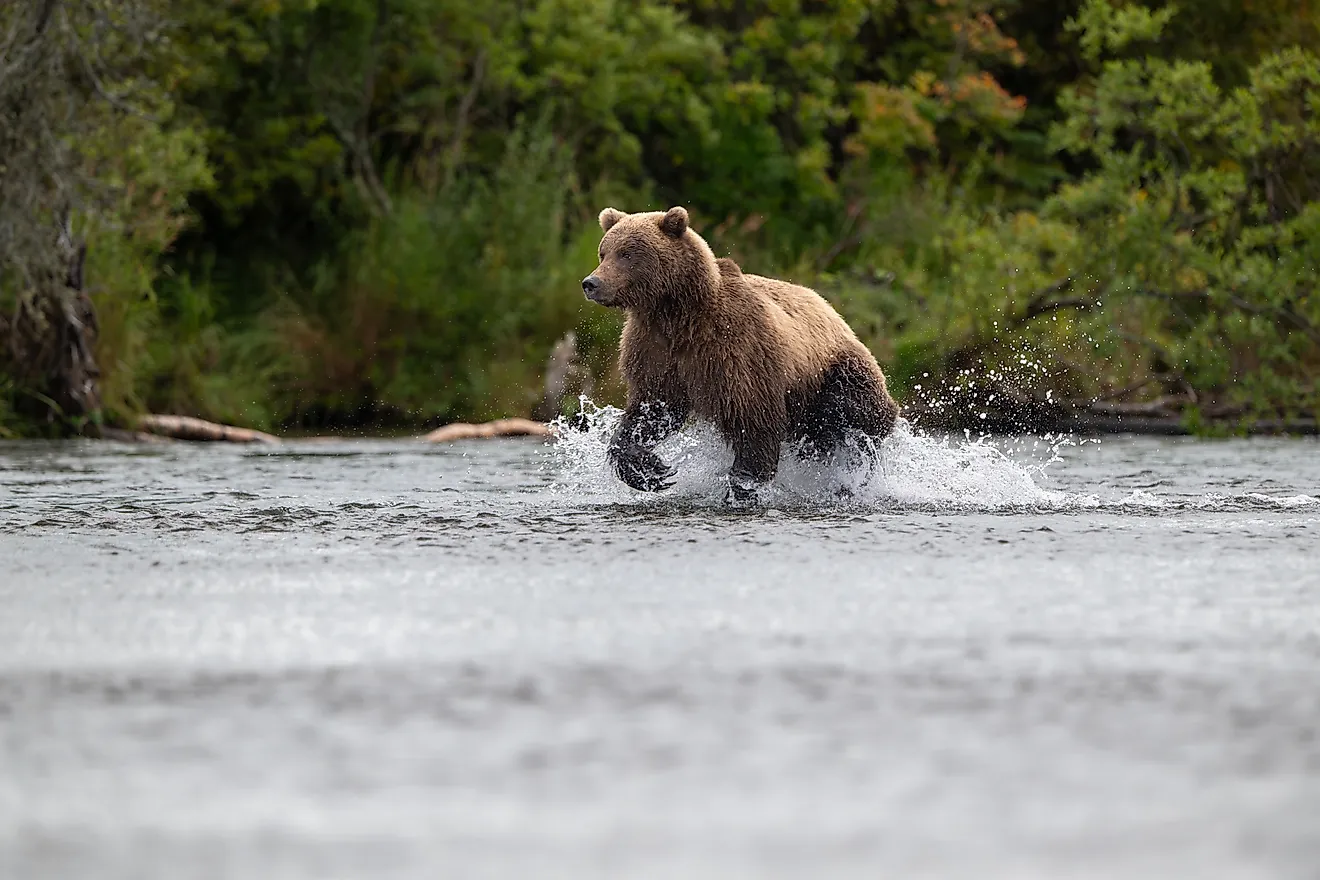
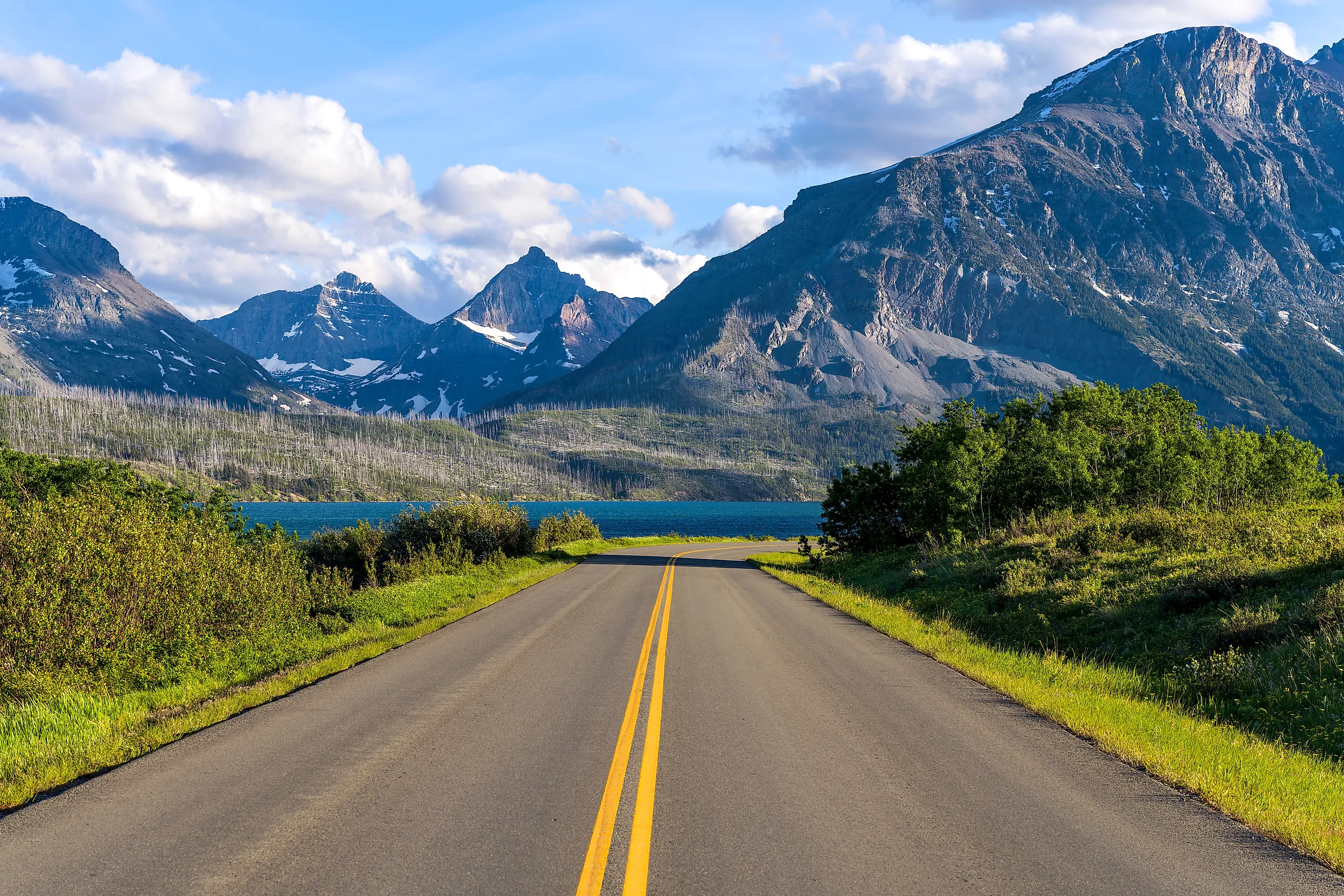
The Beartooth Highway winds through south-central Montana and the northeastern entrance of Yellowstone National Park in Wyoming along US Highway 212. As a result, the byway is an excellent location for a scenic drive, thanks to its abundant natural beauty. Stretching 68 miles, the road connects the cities of Red Lodge and Cooke City. It typically opens on Memorial Day weekend before closing in mid-October. Along the way, travelers will traverse the rugged Absaroka and Beartooth Mountains.

The road climbs to an elevation of 10,947 feet at Beartooth Pass, winding through a diverse ecosystem of pine forests and alpine tundra. At the summit, visitors are rewarded with panoramic views of alpine lakes and glacial cirques, while during the summer months, wildflowers dot the landscape. For those looking to stop along the route, one option is the Ratine Campground, located about six miles south of Red Lodge just off the highway. Here, visitors can enjoy fishing, hiking, and scenic views. Farther along, the Vista Point Observation Site provides another excellent opportunity to rest and take photos, featuring a parking area and an easily accessible lookout over Rock Creek Valley.
Kings Hill Scenic Byway

This scenic byway runs through the Lewis and Clark National Forest and the Little Belt Mountains, stretching 71 miles along US Highway 89 and passing through the towns of Monarch and Neihart. The northern end begins at the junction of US Highways 87 and 89 near Belt and continues south to the junction of US Highways 89 and 12 near White Sulphur Springs.
Along the way, the byway winds past mountain lakes and streams where wildlife abounds. As the road climbs, it reaches its summit at Kings Hill Pass in the Little Belt Mountains, topping out at 7,393 feet in elevation. From here, travelers with high-clearance vehicles can take a slight detour to the Porphyry Peak Lookout observation tower for views of the Lewis and Clark National Forest. For those needing a stop along the route, Bob's Bar Dining & Motel in Neihart provides a convenient place to rest and refuel. The gas station has two working pumps that operate during business hours; while credit cards are not accepted at the pump, patrons can pay inside the bar. Note that the station carries gasoline only, with no diesel available, so planning ahead is recommended.

For travelers interested in stepping away from the road and exploring some local history, White Sulphur Springs offers the Castle Museum as an ideal stop. Located in the heart of town, the museum was constructed in 1892 from stone taken from the Castle Mountains. The 12-room Victorian mansion features ornate furnishings, and the property also includes a carriage house and horse-drawn fire engines on display.
Pioneer Mountains Scenic Byway

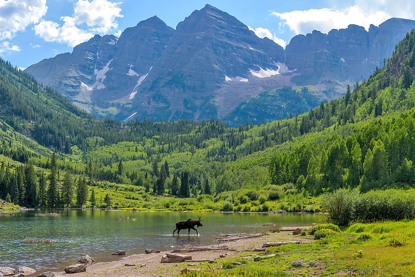
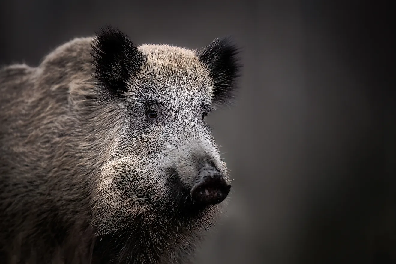
The drive begins southbound on Montana Highway 43 in Wise River and continues to Montana Highway 278 near Polaris, between Dillon and Jackson. The Pioneer Mountain Scenic Byway stretches approximately 49 miles, guiding travelers through the Beaverhead-Deerlodge National Forest with the rugged Pioneer Mountains rising to the east and sweeping views of mountain meadows and lodgepole pine forests to the west. Traveling from north to south, the route starts in Wise River, a small ranching community along the Big Hole River, before continuing through the Wise River Valley, where sagebrush and willow-lined waterways shape the landscape. Wildlife is abundant in the area, and visitors may spot moose, elk, mule deer, black bear, and coyotes along the way.

Farther along the route, travelers pass Crystal Park, a popular recreation area known for its unique opportunity to dig for quartz crystals, a favorite activity for families and rockhounding enthusiasts. The byway continues through Polaris before ending at Montana Highway 278. Due to heavy snowfall, the road is typically closed from December 1 through May 15; however, during the winter months, it is maintained as a National Recreation Snowmobile Trail.
One notable stop just off the byway is Coolidge Ghost Town, a former silver mining community established in the early 20th century. The town declined as mining activity waned and was largely abandoned by the early 1930s. Today, visitors can explore the remaining structures and learn about the area's history through interpretive displays, offering a glimpse into Montana's mining past.
Lake Koocanusa Scenic Byway

This scenic byway is located in northwestern Montana and was designated in 1992. Following State Highway 37, the 67-mile route runs from Libby in the south to Eureka in the north and remains open year-round. Along the way, Lake Koocanusa and the Kootenai River serve as defining features of the drive. The road traces the eastern shoreline of Lake Koocanusa, a reservoir formed by the damming of the Kootenai River, offering frequent views of the water. The surrounding Salish and Purcell mountains provide a dramatic backdrop, while the highway itself follows a relatively gentle path with gradual curves and numerous pull-offs for taking in the scenery.
In addition to its scenic appeal, the byway offers a variety of recreational opportunities, including camping, hiking, and fishing. Rocky Gorge Campground, located near the lake, provides a forested setting with access to boating and nearby trails. Farther along the route, Rexford Bench Campground is another popular stop, featuring well-developed campsites along with amenities such as a boat ramp and a designated swimming area, making it a convenient place to relax and enjoy the water.
Skalkaho Pass

Skalkaho Pass is a remote, seasonal mountain road that connects Hamilton and Philipsburg, crossing the rugged Sapphire Mountains along Montana Highway 38. Drivers will encounter numerous twists and narrow curves as the road climbs to an elevation of just over 7,200 feet. With limited guardrails, few pullouts, and no services along the way, caution is advised, and larger vehicles or trailers are generally not recommended. During the winter, the road is only plowed for a limited distance near Hamilton, with deeper sections typically accessible by snowmobile. Several primitive campgrounds are located along the route, including Black Bear and Crystal Creek campgrounds, which offer basic sites in quiet, forested settings.
Stretching roughly 54 miles, the route winds through scenic, mountainous terrain. One of its highlights is Skalkaho Falls, a striking waterfall that drops about 150 feet and is located roughly 20 miles from Hamilton. The surrounding landscape features dense forests of spruce and subalpine fir, along with open mountain vistas. In the summer months, birdwatching is popular, while in the fall, elk are frequently seen in the area. Other wildlife, including mule deer, coyotes, and black bears, may also be spotted along the route and nearby trails.
Big Sheep Creek Back Country Byway

This byway offers a unique opportunity to experience the remote, rugged landscape once traveled by Native Americans and early mountain men. The two-lane gravel road winds through Montana's backcountry and sees relatively few visitors each year. Travelers can begin in Dell and follow the route to Highway 324, covering a total distance of about 50 miles. The journey starts at the narrow entrance to Big Sheep Canyon, where steep, rocky walls rise on either side. As the drive continues, the canyon gradually opens into a broad valley surrounded by mountains along the Continental Divide. Farther north, the landscape transitions into open grasslands and sagebrush as the valley widens.
Most vehicles can travel the road from May through October, though rain can make conditions challenging, so drivers should proceed with caution in wet weather. There are no services along the route, and the trip can take up to three hours. Along the way, travelers may notice clear, deep pools in Big Sheep Creek that support healthy trout populations. Bighorn sheep are also commonly spotted in the area, particularly during the evening hours.
Seven Montana Byways
Montana's scenic byways offer countless opportunities for sightseeing and recreation, showcasing the state's natural beauty at every turn. From well-maintained highways to rugged backcountry roads, these routes provide a wide range of experiences for outdoor enthusiasts. Travelers will appreciate the diversity of Montana's scenic drives, whether winding along lakeshores or traversing remote mountain landscapes. Fuel up the car, pack your bags, and set out to explore one of Montana's seven scenic byways.