6 Best Natural Wonders To Visit In Missouri This Year
Missouri's landscape was shaped over roughly a billion years, from the volcanic rhyolite and granite of the St. Francois Mountains to the karst country of the Ozarks. The state holds more than 7,500 documented caves, along with spring-fed rivers, collapsed cavern systems, and rock formations unusual for this part of the country. The six places below cover the range: a limestone canyon formed by a cave roof collapse, a 40-foot waterfall over 1.5-billion-year-old rhyolite, granite boulders from the Precambrian, and a natural icebox that stays at 56 degrees year-round.
Devil's Icebox

The Devil's Icebox sits at the center of Rock Bridge Memorial State Park near Columbia. The name comes from the cave's constant 56-degree temperature year-round, which can feel genuinely cold on a hot day. The cave system itself runs for roughly seven miles and is closed to the general public because of ongoing bat conservation efforts, though Connor's Cave, a shorter adjacent cave, remains open to explorers with lights.
The surrounding karst topography produces a series of sinkholes, seasonal waterfalls after rain, and the natural limestone arch that gave the park its name. The Sinkhole Trail runs a 1.2-mile loop through forest with interpretive panels, passing a stone foundation from a 19th-century mill near the picnic shelter. A short spur trail leads to the bridge that crosses the tunnel beneath Rock Bridge itself. Summer is the most popular visiting window, partly because the cave's steady temperature is a reliable break from the heat.
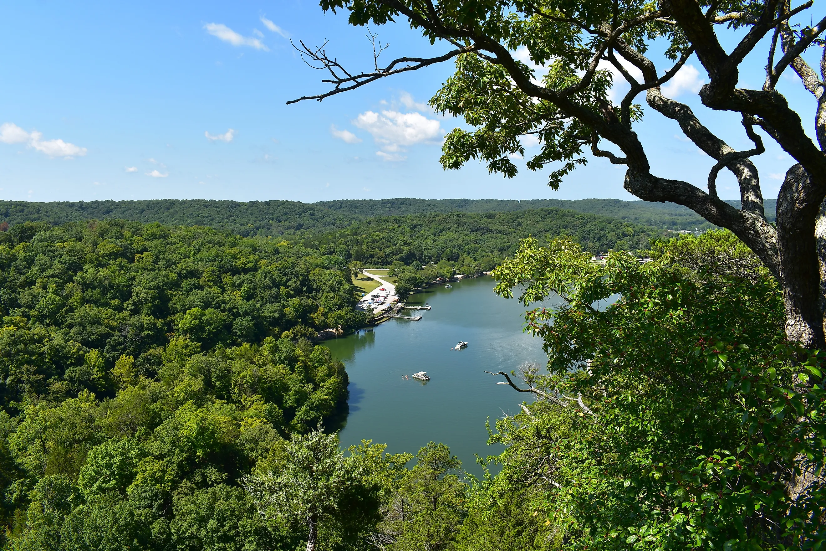
Morris State Park

Morris State Park sits in Missouri's Bootheel on Crowley's Ridge, a narrow strip of loess-capped hills that runs about 150 miles from southeast Missouri into northeast Arkansas. The ridge rises roughly 200 feet above the Mississippi River floodplain on either side. The Beech Tree Trail runs about three miles from the ridge top to its base and back, which gets you the full elevation profile in one hike.
The park supports plant and animal communities that aren't typical for Missouri, including American beech, red oak, and red maple, plus red-tailed hawks, barred owls, and red-headed woodpeckers. Park records list roughly 300 plant species and more than 80 bird species across the grounds. Summer is the better visiting window; the trail frequently ices over in winter and sometimes stays that way into early spring.
Elephant Rocks State Park

Elephant Rocks sits in the St. Francois Mountains, and the namesake boulders are Precambrian granite dated to roughly 1.5 billion years old, formed during the Proterozoic Eon. Erosion has since rounded them into the forms that earned the park its name, with the largest, Dumbo, weighing an estimated 680 tons.
The Braille Trail is a 1-mile paved loop designed for visitors with visual impairments and runs around the boulder field, with a spur that climbs to the top. Informal trails weave between the boulders, including a maze section and a narrow squeeze between two rocks that draws a steady crowd. Another spur leads to an overlook of the remains of an old granite quarry, one of the earliest commercial quarries in Missouri, which supplied stone for buildings and paving across the Midwest in the late 1800s.
Ha Ha Tonka State Park

Ha Ha Tonka State Park in Camdenton covers more than 3,700 acres of Ozark karst country and holds an unusual concentration of geological features in one place: a collapsed sinkhole known as the Colosseum, a 100-foot-high natural bridge, caves, and a first-magnitude spring. The ruins of a 1905 stone castle above the spring are also part of the park's draw, though they aren't the geology. The Colosseum is a roughly 500-foot-long, 125-foot-wide sinkhole formed when the roof of a large underground cavern collapsed, and it now holds a microclimate that supports plant communities unusual for the surrounding landscape.
Ha Ha Tonka Spring is the hydrological center of the park. It discharges an average of 48 million gallons a day from the base of a dolomite bluff, and the water runs a consistent 56 to 58 degrees year-round before flowing into the Niangua Arm of the Lake of the Ozarks. The Devil's Kitchen Trail passes through chert woodlands and glades on the way to the Devil's Kitchen sinkhole, and the Colosseum Trail runs 0.7 miles to the Colosseum overlook.
Rocky Falls Shut-Ins

Rocky Falls is a 40-foot waterfall on the Ozark National Scenic Riverways where water from Rocky Creek squeezes through a shut-in, a narrow channel cut through exposed rhyolite bedrock roughly 1.5 billion years old. The pool at the base is deep enough for swimming in summer.
For a longer outing, the Klepzig Mill Trail starts at the falls and runs a six-mile out-and-back along a section of the Ozark Trail, ending at the historic Klepzig Mill. Water shoes are the right call for scrambling near the falls themselves; proper trail shoes work better on the longer hike. Fall brings the foliage and thinner crowds, and winter visits turn the falls into something close to silent.
Grand Gulf State Park

Grand Gulf, sometimes called Missouri's Little Grand Canyon, was not cut by a river. It formed when the roof of a long cavern system collapsed, leaving a canyon-like chasm roughly three-quarters of a mile long with walls up to 130 feet high. A 200-foot-long natural bridge marks what remains of the cave roof.
The Natural Bridge Trail runs across the bridge, and it connects to the Interpretive Loop Trail along the gulf rim. There are no maintained trails to the bottom of the gulf, and the terrain makes unofficial descents risky; the rim trails give the better views without the scramble. Fall is the most visually striking window, with the hardwood forest running through color against the exposed rock; winter offers clearer sightlines through bare trees with fewer other visitors.
The Geology Behind the Landscape
Missouri's natural wonders come mostly from two geological stories: the Precambrian volcanic rock that built the St. Francois Mountains more than a billion years ago, and the karst topography of the Ozarks, where water moving through limestone and dolomite over millions of years cut caves, springs, natural bridges, and eventually collapsed sinkholes like Ha Ha Tonka and Grand Gulf. Visiting these places means walking across that timeline. They reward attention more than a fast pass-through, and leaving them intact for the next visitor is the only way they stay this way.