10 Great Road Trips to Take in Mississippi
Mississippi's best road trips track the state's real story: loess bluffs along the Mississippi River, cotton country through the Delta, the blues corridor of Highway 61, Civil Rights sites from the 1961 Freedom Rides and the 1963 Medgar Evers assassination, and the Gulf Coast beaches south to the shipyards. William Faulkner's fictional Yoknapatawpha County maps roughly onto real Lafayette County around Oxford. B.B. King's hometown museum anchors Indianola. The ten routes below tie these threads into drivable itineraries across the state.
Natchez Trace Parkway

The Natchez Trace Parkway stretches 444 miles from Natchez to Nashville, Tennessee, with Mississippi covering roughly 310 miles of the route from Natchez northeast through Jackson to Tupelo. A National Scenic Byway since 2005, the parkway follows a trail first used by Native Americans and later by Kaintuck boatmen walking home after floating goods down to New Orleans. No commercial traffic is permitted, and the 50 mph limit keeps traffic slow. Historic markers and interpretive pull-offs line the entire route.
Emerald Mound near Natchez is the second-largest ceremonial mound in the US (Monks Mound in Illinois is larger), covering about 8 acres and dating to Mississippian-era construction between 1250 and 1600 CE. Rocky Springs, a ghost town preserved as a picnic area, has a still-standing 1837 church. Further north near Ridgeland, an overlook opens onto the 33,000-acre Ross Barnett Reservoir.
Great River Road

The Great River Road is a 3,000-mile route across ten states following the Mississippi River from Lake Itasca, Minnesota, to the Gulf in Venice, Louisiana. The Mississippi portion runs along Highway 61 for over 275 miles on the western side of the state, north to south through Tunica Resorts, Clarksdale, Vicksburg, and Natchez, tracing the heart of the Delta and the birthplace of the blues.
In Tunica Resorts, the Gateway to the Blues Museum is housed in an 1895 train depot and covers the history of Delta blues. From Vicksburg to Natchez, Civil War history dominates: Vicksburg National Military Park preserves the site of Grant's 1863 siege that split the Confederacy, and the Jefferson Davis Presidential Library in Biloxi covers the Confederate president's life, including his childhood Kentucky birthplace.
Mississippi Gulf Coast Scenic Byway

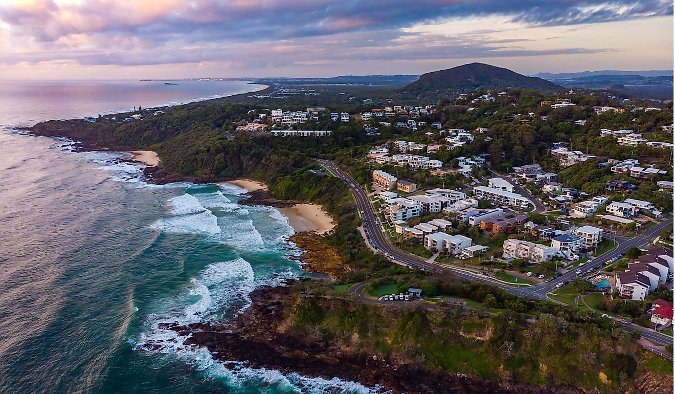
The Mississippi Gulf Coast Scenic Byway (also called the Secret Coast) runs about 19 miles along Highway 90 through Pass Christian, Long Beach, and Gulfport. Beaches and Gulf Coast views anchor the route. In Pass Christian, the Wolf River Marsh Coastal Preserve covers 2,246 acres of marshland for hiking and birdwatching. In Gulfport, the Mississippi Aquarium and the Institute for Marine Mammal Studies handle coastal species conservation and public education.
Delta Bluffs Scenic Byway

In northwestern Mississippi, the Delta Bluffs Scenic Byway begins near Hernando at Exit 280 on I-55 and follows Highway 304 west for about 31 miles. The route covers the transition zone between the loess bluffs and the Delta flatlands through DeSoto County farmland and wooded hills.
Arkabutla Lake covers 11,000 acres of reservoir for fishing and swimming. The ARK Trail and Lee's Summit Park offer quieter hiking. The DeSoto County Museum in Hernando covers regional military and local history, including the area's role in the Mississippi Delta cotton economy.
Grand Gulf-Raymond Scenic Byway

The Grand Gulf-Raymond Scenic Byway runs about 50 miles northeast from Grand Gulf Military Park on the Mississippi River to Raymond Military Park, passing loess bluffs and Spanish moss-draped oaks through Willows, Rocky Springs, and Cayuga. The route follows General Ulysses S. Grant's 1863 Vicksburg campaign through central Mississippi, a decisive phase of the Civil War.
Other landmarks include Rocky Springs Picnic Area and the Hankinson's Ferry Civil War site (an 1863 river crossing). Rocky Springs ghost town preserves a historic church and cemetery. In Raymond, the late-1850s courthouse served as a Confederate hospital after the Battle of Raymond; St. Mark's Episcopal Church across the street served as a Union hospital during the same battle, a rare preservation of both sides of a Civil War medical response in a single town.
Beach Boulevard Scenic Byway

Originally known as Old Highway 1, the Beach Boulevard Scenic Byway runs about 11 miles along the Mississippi Gulf Coast shoreline. The route starts at Cedar Point in Bay St. Louis, crosses US Highway 90, goes through downtown Bay St. Louis, and continues through Waveland, ending at the fishing village at Bayou Caddy.
Bay St. Louis's downtown, heavily damaged by Hurricane Katrina in 2005 and since rebuilt, offers shops and restaurants on rebuilt historic blocks. Grand Bayou Coastal Preserve provides wildlife viewing, and Buccaneer State Park has hiking trails and campsites (note: heavily damaged by Katrina and reopened in phases since).
William Faulkner Scenic Byway

The William Faulkner Scenic Byway runs about 15 miles along Highway 30 between Oxford and New Albany, the two towns most closely associated with Faulkner's life (he was born in New Albany in 1897 and spent most of his adult life in Oxford, where he lived at Rowan Oak until his death in 1962). The rural forested landscape of Lafayette and Union Counties shaped his fictional Yoknapatawpha County, which appears in As I Lay Dying, The Sound and the Fury, Absalom, Absalom!, and most of his other major novels.
Puskus Lake Recreation Area offers hiking and fishing on the Little Tallahatchie River. Nearby, the Tanglefoot Trail is a 43-mile rail-trail for biking and hiking. Much of the drive passes through Holly Springs National Forest.
Noxubee Hills Route

The Noxubee Hills Route runs 43 miles east-to-west through central Mississippi, from Choctaw Lake in Oktibbeha County to Noxubee County. The route crosses the Tombigbee National Forest and Bluff Lake. The Sam D. Hamilton Noxubee National Wildlife Refuge along the route supports alligators, wood ducks, and one of the largest concentrations of red-cockaded woodpeckers in Mississippi (a federally protected species).
The Mississippi Freedom Trail

The Mississippi Freedom Trail, launched in 2011 as part of the larger United States Civil Rights Trail, marks key Civil Rights Movement sites across the state with interpretive markers. The trail has no single start or end point but concentrates in Philadelphia (site of the 1964 murder of three civil rights workers), Jackson, and Greenwood (where Emmett Till's 1955 lynching sparked national outrage).
In Jackson, landmarks include the Mississippi Civil Rights Museum (opened 2017), the Medgar and Myrlie Evers Home National Monument (site of Evers's 1963 assassination), the former 1961 Greyhound Bus Station that was a Freedom Rides stop, and the site of the 1963 Woolworth's sit-in. In Indianola, the B.B. King Museum and Delta Interpretive Center covers the blues legend's life in the Mississippi Delta.
Blues Highway (Old Highway 61)

The Blues Highway (Old Highway 61) runs roughly 200 miles north-to-south through the Mississippi Delta, with Mississippi Blues Trail markers throughout. The road passes Clarksdale, Leland, and Vicksburg, tracking the agricultural Delta where the blues developed in the early 20th century.
Clarksdale is home to The Crossroads at the intersection of Highways 61 and 49, where legend has it bluesman Robert Johnson sold his soul to the devil in exchange for his musical genius. Whether myth or marketing, Clarksdale is widely considered the birthplace of the blues. The Delta Blues Museum downtown houses the reconstructed log cabin where Muddy Waters lived at Stovall Farms before his move to Chicago.
Ten Roads, One State's Story
Mississippi's road trips connect the state's core stories directly to the landscape. The Natchez Trace covers 310 miles of pre-Civil War trade history. The Great River Road tracks cotton, blues, and Civil War. Gulf Coast routes handle beaches and post-Katrina recovery. Civil Rights sites from the 1961 Freedom Rides to the 1963 Evers assassination anchor the Mississippi Freedom Trail. Faulkner country and Delta blues each have their own routes. These ten drives turn the state into a driveable curriculum.