Where is Lawrence County, Kentucky?
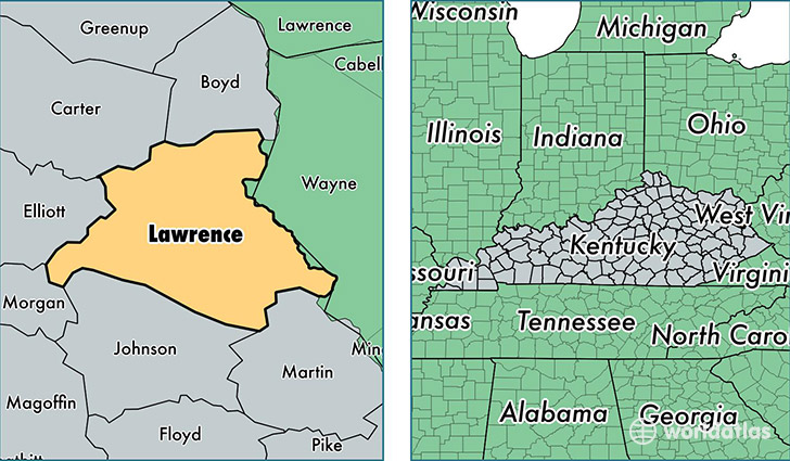
Lawrence County is a county equivalent area found in Kentucky, USA. The county government of Lawrence is found in the county seat of Louisa.
With a total 1,087.97 sq. km of land and water area, Lawrence County, Kentucky is the 2491st largest county equivalent area in the United States. Home to 15,804 people, Lawrence County has a total 7217 households earning 33525 on average per year.
Lawrence County, Kentucky - Quick Facts
| FIPS Code | 21127 |
| Area Codes | 606 |
| Time Zone | EST |
| Major Cities | Louisa (population: 11,719), Webbville (population: 1,084), Blaine (population: 1,038), Lowmansville (population: 781), Martha (population: 582), Ulysses (population: 388), Adams (population: 237) |
| Land Area | 6,102 sq miles |
| Water Area | 415 sq miles |
| Household Income | $33,525 |
| Housing Units | 7,217 |
| Median Home Value | $80,200 |
| High School Grads | 73% of population |
| Holders of Bachelors Degrees | 11% of population |
| Retail Spending | $7,568 per capita |
| Food & Accomodation Sales | $11,508 per capita |
This page was last updated on June 30, 2016.