Where is Mingo County, West Virginia?
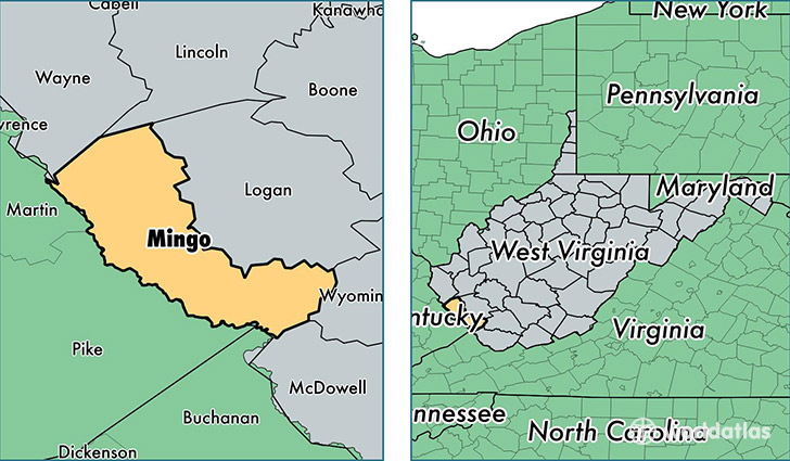
Mingo County is a county equivalent area found in West Virginia, USA. The county government of Mingo is found in the county seat of Williamson.
With a total 1,098.1 sq. km of land and water area, Mingo County, West Virginia is the 2472nd largest county equivalent area in the United States. Home to 25,716 people, Mingo County has a total 12556 households earning 35955 on average per year.
Mingo County, West Virginia - Quick Facts
| FIPS Code | 54059 |
| Area Codes | 304 |
| Time Zone | EST |
| Major Cities | Williamson (population: 6,649), Delbarton (population: 5,669), Gilbert (population: 2,095), Matewan (population: 1,551), Dingess (population: 1,250), Lenore (population: 1,215), Red Jacket (population: 993), Baisden (population: 976), Wharncliffe (population: 716), Breeden (population: 636) |
| Land Area | 9,929 sq miles |
| Water Area | 423 sq miles |
| Household Income | $35,955 |
| Housing Units | 12,556 |
| Median Home Value | $69,000 |
| High School Grads | 73% of population |
| Holders of Bachelors Degrees | 11% of population |
| Retail Spending | $4,057 per capita |
| Food & Accomodation Sales | $9,961 per capita |
This page was last updated on June 30, 2016.