Where is McDowell County, West Virginia?
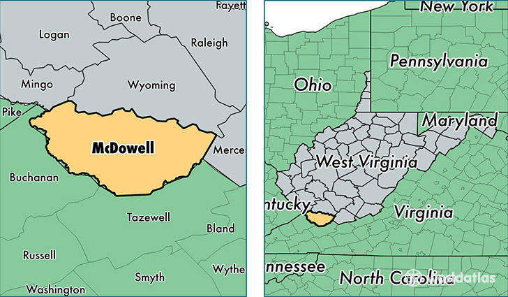
McDowell County is a county equivalent area found in West Virginia, USA. The county government of McDowell is found in the county seat of Welch.
With a total 1,385.38 sq. km of land and water area, McDowell County, West Virginia is the 2054th largest county equivalent area in the United States. Home to 20,448 people, McDowell County has a total 11127 households earning 22252 on average per year.
McDowell County, West Virginia - Quick Facts
| FIPS Code | 54047 |
| Area Codes | 304 |
| Time Zone | EST |
| Major Cities | Welch (population: 3,724), Iaeger (population: 1,745), Northfork (population: 1,625), War (population: 1,459), Jolo (population: 1,054), Bradshaw (population: 920), Davy (population: 894), Gary (population: 771), Kimball (population: 764), Panther (population: 755) |
| Land Area | 7,895 sq miles |
| Water Area | 534 sq miles |
| Household Income | $22,252 |
| Housing Units | 11,127 |
| Median Home Value | $35,000 |
| High School Grads | 63% of population |
| Holders of Bachelors Degrees | 6% of population |
| Retail Spending | $5,664 per capita |
| Food & Accomodation Sales | $6,926 per capita |
This page was last updated on June 30, 2016.