Where is Buchanan County, Virginia?
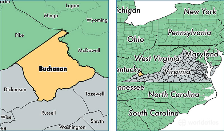
Buchanan County is a county equivalent area found in Virginia, USA. The county government of Buchanan is found in the county seat of Grundy.
With a total 1,304.95 sq. km of land and water area, Buchanan County, Virginia is the 2165th largest county equivalent area in the United States. Home to 23,106 people, Buchanan County has a total 11375 households earning 29848 on average per year.
Buchanan County, Virginia - Quick Facts
| FIPS Code | 51027 |
| Area Codes | 276 |
| Time Zone | EST |
| Major Cities | Grundy (population: 7,981), Vansant (population: 3,370), Oakwood (population: 2,814), Hurley (population: 2,746), Big Rock (population: 968), Rowe (population: 742), Pilgrims Knob (population: 568), Whitewood (population: 317), Maxie (population: 292), Davenport (population: 111) |
| Land Area | 8,921 sq miles |
| Water Area | 503 sq miles |
| Household Income | $29,848 |
| Housing Units | 11,375 |
| Median Home Value | $68,200 |
| High School Grads | 68% of population |
| Holders of Bachelors Degrees | 8% of population |
| Retail Spending | $6,118 per capita |
| Food & Accomodation Sales | $12,056 per capita |
| Universities and Colleges | Appalachian School of Law |
This page was last updated on June 30, 2016.