Mercer County, WV, USA
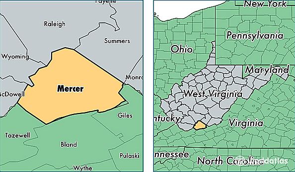
Mercer County is a county equivalent area found in West Virginia, USA. The county government of Mercer is found in the county seat of Princeton.
With a total 1,089.56 sq. km of land and water area, Mercer County, West Virginia is the 2488th largest county equivalent area in the United States. Home to 61,785 people, Mercer County has a total 29690 households earning 34842 on average per year.
Mercer County, West Virginia - Quick Facts
| FIPS Code | 54055 |
| Area Codes | 304 |
| Time Zone | EST |
| Major Cities | Princeton (population: 30,642), Bluefield (population: 20,872), Rock (population: 3,018), Athens (population: 2,071), Lerona (population: 1,134), Matoaka (population: 901), Lashmeet (population: 856), Bramwell (population: 596), Flat Top (population: 576), Camp Creek (population: 438) |
| Land Area | 23,855 sq miles |
| Water Area | 419 sq miles |
| Household Income | $34,842 |
| Housing Units | 29,690 |
| Median Home Value | $79,400 |
| High School Grads | 81% of population |
| Holders of Bachelors Degrees | 18% of population |
| Retail Spending | $12,455 per capita |
| Food & Accomodation Sales | $88,355 per capita |