Where is Tazewell County, Virginia?
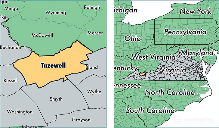
Tazewell County is a county equivalent area found in Virginia, USA. The county government of Tazewell is found in the county seat of Tazewell.
With a total 1,346.72 sq. km of land and water area, Tazewell County, Virginia is the 2103rd largest county equivalent area in the United States. Home to 43,452 people, Tazewell County has a total 20567 households earning 35693 on average per year.
Tazewell County, Virginia - Quick Facts
| FIPS Code | 51185 |
| Area Codes | 276 |
| Time Zone | EST |
| Major Cities | Bluefield (population: 9,133), Cedar Bluff (population: 7,497), North Tazewell (population: 6,652), Tazewell (population: 6,200), Richlands (population: 5,846), Raven (population: 3,479), Pounding Mill (population: 3,348), Pocahontas (population: 1,620), Jewell Ridge (population: 1,013), Bandy (population: 944) |
| Land Area | 16,777 sq miles |
| Water Area | 519 sq miles |
| Household Income | $35,693 |
| Housing Units | 20,567 |
| Median Home Value | $88,000 |
| High School Grads | 77% of population |
| Holders of Bachelors Degrees | 13% of population |
| Retail Spending | $18,473 per capita |
| Food & Accomodation Sales | $52,190 per capita |
| Universities and Colleges | Southwest Virginia Community College |
This page was last updated on June 30, 2016.