Where is Lewis County, West Virginia?
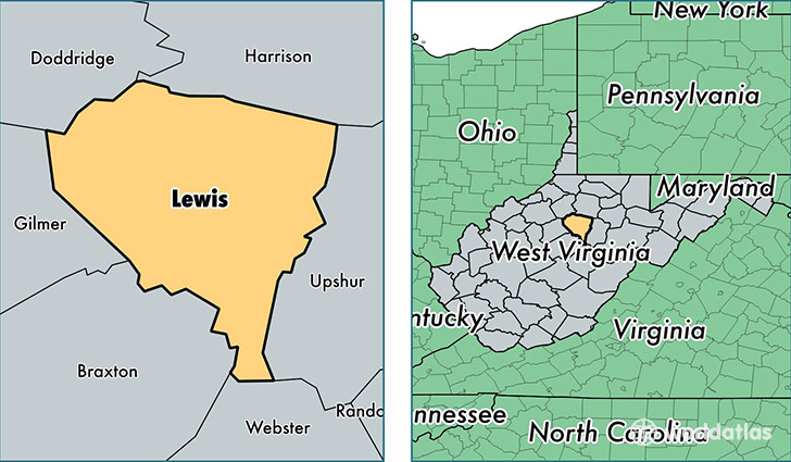
Lewis County is a county equivalent area found in West Virginia, USA. The county government of Lewis is found in the county seat of Weston.
With a total 1,009.18 sq. km of land and water area, Lewis County, West Virginia is the 2636th largest county equivalent area in the United States. Home to 16,414 people, Lewis County has a total 7882 households earning 36199 on average per year.
Lewis County, West Virginia - Quick Facts
| FIPS Code | 54041 |
| Area Codes | 304 |
| Time Zone | EST |
| Major Cities | Weston (population: 9,675), Jane Lew (population: 3,820), Walkersville (population: 1,054), Horner (population: 685), Camden (population: 628), Orlando (population: 545), Linn (population: 522), Crawford (population: 446), Alum Bridge (population: 353) |
| Land Area | 6,337 sq miles |
| Water Area | 387 sq miles |
| Household Income | $36,199 |
| Housing Units | 7,882 |
| Median Home Value | $91,400 |
| High School Grads | 85% of population |
| Holders of Bachelors Degrees | 16% of population |
| Retail Spending | $12,426 per capita |
| Food & Accomodation Sales | $27,332 per capita |
This page was last updated on June 30, 2016.