Where is Harrison County, West Virginia?
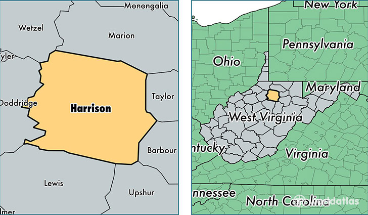
Harrison County is a county equivalent area found in West Virginia, USA. The county government of Harrison is found in the county seat of Clarksburg.
With a total 1,078.78 sq. km of land and water area, Harrison County, West Virginia is the 2507th largest county equivalent area in the United States. Home to 68,761 people, Harrison County has a total 31411 households earning 43183 on average per year.
Harrison County, West Virginia - Quick Facts
| FIPS Code | 54033 |
| Area Codes | 304 |
| Time Zone | EST |
| Major Cities | Clarksburg (population: 30,494), Bridgeport (population: 14,393), Salem (population: 6,998), Shinnston (population: 5,956), Lost Creek (population: 3,874), Mount Clare (population: 2,853), Lumberport (population: 2,412), Wallace (population: 1,422), Hepzibah (population: 762), West Milford (population: 685) |
| Land Area | 26,549 sq miles |
| Water Area | 416 sq miles |
| Household Income | $43,183 |
| Housing Units | 31,411 |
| Median Home Value | $94,600 |
| High School Grads | 87% of population |
| Holders of Bachelors Degrees | 20% of population |
| Retail Spending | $16,878 per capita |
| Food & Accomodation Sales | $117,645 per capita |
This page was last updated on June 30, 2016.