Where is Kanawha County, West Virginia?
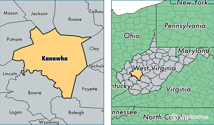
Kanawha County is a county equivalent area found in West Virginia, USA. The county government of Kanawha is found in the county seat of Charleston.
With a total 2,359.27 sq. km of land and water area, Kanawha County, West Virginia is the 918th largest county equivalent area in the United States. Home to 190,223 people, Kanawha County has a total 91953 households earning 46085 on average per year.
Kanawha County, West Virginia - Quick Facts
| FIPS Code | 54039 |
| Area Codes | 304 |
| Time Zone | EST |
| Major Cities | Charleston (population: 95,612), Saint Albans (population: 23,974), South Charleston (population: 20,373), Elkview (population: 11,641), Dunbar (population: 9,916), Nitro (population: 8,588), Clendenin (population: 5,763), Belle (population: 4,669), Alum Creek (population: 2,769), Tornado (population: 1,363) |
| Land Area | 73,445 sq miles |
| Water Area | 902 sq miles |
| Household Income | $46,085 |
| Housing Units | 91,953 |
| Median Home Value | $101,600 |
| High School Grads | 88% of population |
| Holders of Bachelors Degrees | 25% of population |
| Retail Spending | $15,429 per capita |
| Food & Accomodation Sales | $414,905 per capita |
| Universities and Colleges | Charleston School of Beauty Culture, University of Charleston, West Virginia State University, West Virginia Junior College, Mountaineer Beauty College, West Virginia State Community and Technical College |
This page was last updated on June 30, 2016.