Where is Fayette County, West Virginia?
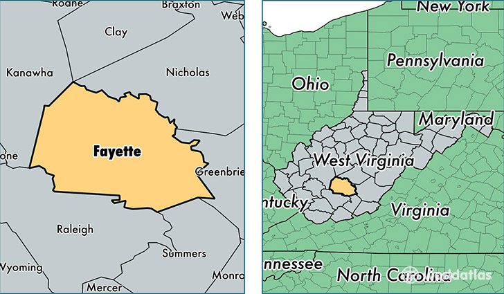
Fayette County is a county equivalent area found in West Virginia, USA. The county government of Fayette is found in the county seat of Fayetteville.
With a total 1,731.01 sq. km of land and water area, Fayette County, West Virginia is the 1520th largest county equivalent area in the United States. Home to 45,132 people, Fayette County has a total 21427 households earning 33771 on average per year.
Fayette County, West Virginia offers the following attraction to visitors: New River Gorge NR
Fayette County, West Virginia - Quick Facts
| FIPS Code | 54019 |
| Area Codes | 304 |
| Time Zone | EST |
| Major Cities | Oak Hill (population: 11,875), Fayetteville (population: 8,148), Meadow Bridge (population: 2,648), Scarbro (population: 2,131), Ansted (population: 1,894), Montgomery (population: 1,790), Danese (population: 1,415), Victor (population: 1,282), Hico (population: 1,096), Mount Olive (population: 1,038) |
| Land Area | 17,426 sq miles |
| Water Area | 661 sq miles |
| Household Income | $33,771 |
| Housing Units | 21,427 |
| Median Home Value | $72,000 |
| High School Grads | 79% of population |
| Holders of Bachelors Degrees | 12% of population |
| Retail Spending | $7,467 per capita |
| Food & Accomodation Sales | $35,668 per capita |
| Universities and Colleges | Community and Technical College at West Virginia University Institute of Technology |
This page was last updated on June 30, 2016.