Where is Raleigh County, West Virginia?
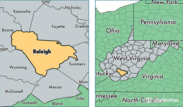
Raleigh County is a county equivalent area found in West Virginia, USA. The county government of Raleigh is found in the county seat of Beckley.
With a total 1,578.2 sq. km of land and water area, Raleigh County, West Virginia is the 1713th largest county equivalent area in the United States. Home to 78,241 people, Raleigh County has a total 35813 households earning 40758 on average per year.
Raleigh County, West Virginia - Quick Facts
| FIPS Code | 54081 |
| Area Codes | 304 |
| Time Zone | EST |
| Major Cities | Beckley (population: 33,659), Beaver (population: 8,079), Mount Hope (population: 6,927), Shady Spring (population: 4,439), Daniels (population: 4,002), Crab Orchard (population: 2,493), Cool Ridge (population: 2,391), Coal City (population: 2,180), Sophia (population: 2,161), Lester (population: 1,478) |
| Land Area | 30,209 sq miles |
| Water Area | 605 sq miles |
| Household Income | $40,758 |
| Housing Units | 35,813 |
| Median Home Value | $93,900 |
| High School Grads | 81% of population |
| Holders of Bachelors Degrees | 17% of population |
| Retail Spending | $16,039 per capita |
| Food & Accomodation Sales | $144,263 per capita |
| Universities and Colleges | Appalachian Bible College |
This page was last updated on June 30, 2016.