Where is Kittitas County, Washington?
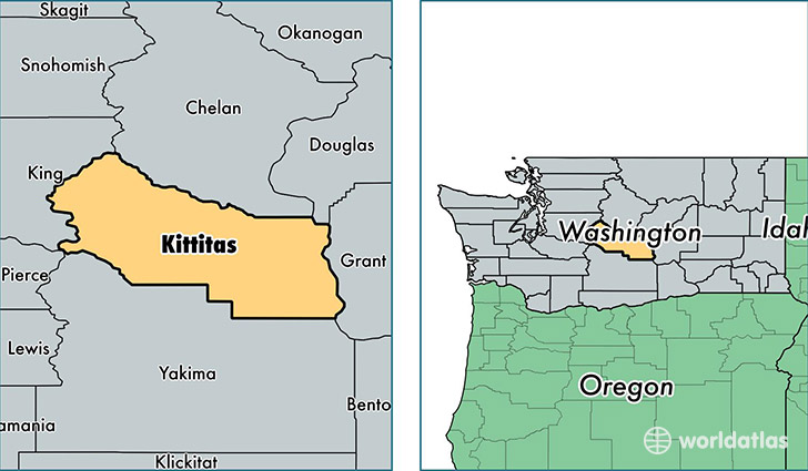
Kittitas County is a county equivalent area found in Washington, USA. The county government of Kittitas is found in the county seat of Ellensburg.
With a total 6,043.07 sq. km of land and water area, Kittitas County, Washington is the 261st largest county equivalent area in the United States. Home to 42,522 people, Kittitas County has a total 22190 households earning 42982 on average per year.
Kittitas County, Washington - Quick Facts
| FIPS Code | 53037 |
| Area Codes | 425,509 |
| Time Zone | PST |
| Major Cities | Ellensburg (population: 30,798), Cle Elum (population: 5,569), Kittitas (population: 1,137), Roslyn (population: 936), Ronald (population: 774), Easton (population: 701), South Cle Elum (population: 672), Thorp (population: 504), Snoqualmie Pass (population: 412), Vantage (population: 180) |
| Land Area | 16,418 sq miles |
| Water Area | 2,298 sq miles |
| Household Income | $42,982 |
| Housing Units | 22,190 |
| Median Home Value | $244,700 |
| High School Grads | 91% of population |
| Holders of Bachelors Degrees | 34% of population |
| Retail Spending | $12,316 per capita |
| Food & Accomodation Sales | $84,390 per capita |
This page was last updated on June 30, 2016.