Where is Yakima County, Washington?
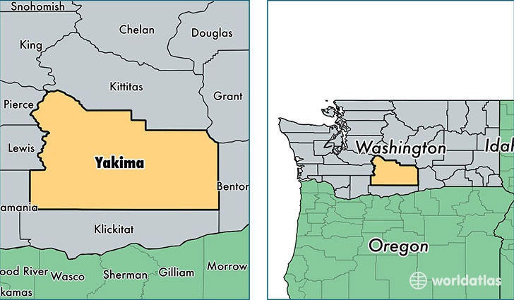
Yakima County is a county equivalent area found in Washington, USA. The county government of Yakima is found in the county seat of Yakima.
With a total 11,166.55 sq. km of land and water area, Yakima County, Washington is the 114th largest county equivalent area in the United States. Home to 247,687 people, Yakima County has a total 85896 households earning 43506 on average per year.
Yakima County, Washington - Quick Facts
| FIPS Code | 53077 |
| Area Codes | 509 |
| Time Zone | PST |
| Major Cities | Yakima (population: 128,190), Sunnyside (population: 22,354), Selah (population: 17,234), Grandview (population: 15,509), Wapato (population: 13,950), Toppenish (population: 13,428), Zillah (population: 6,783), Moxee (population: 5,962), Granger (population: 5,109), Mabton (population: 4,254) |
| Land Area | 95,632 sq miles |
| Water Area | 4,295 sq miles |
| Household Income | $43,506 |
| Housing Units | 85,896 |
| Median Home Value | $156,300 |
| High School Grads | 71% of population |
| Holders of Bachelors Degrees | 16% of population |
| Retail Spending | $10,442 per capita |
| Food & Accomodation Sales | $245,645 per capita |
| Universities and Colleges | Professional Beauty School, Yakima Valley Community College |
This page was last updated on June 30, 2016.