Where is Bennington County, Vermont?
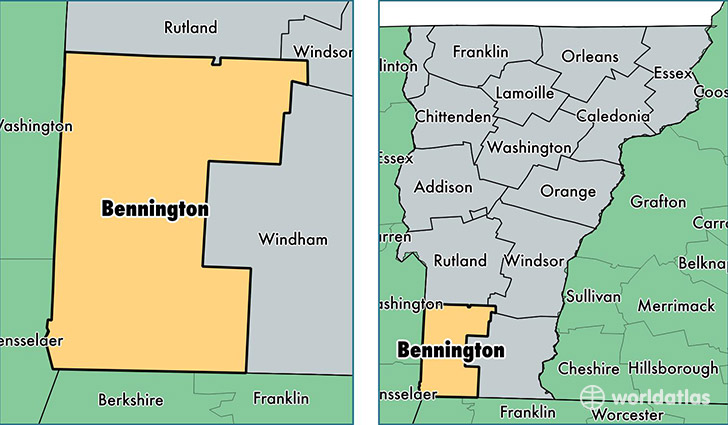
Bennington County is a county equivalent area found in Vermont, USA. The county government of Bennington is found in the county seat of Bennington.
With a total 1,755.13 sq. km of land and water area, Bennington County, Vermont is the 1501st largest county equivalent area in the United States. Home to 36,445 people, Bennington County has a total 20859 households earning 50221 on average per year.
Bennington County, Vermont - Quick Facts
| FIPS Code | 50003 |
| Area Codes | 802 |
| Time Zone | EST |
| Major Cities | Bennington (population: 14,679), Manchester Center (population: 4,073), Arlington (population: 3,368), Pownal (population: 2,706), North Bennington (population: 2,686), Shaftsbury (population: 2,517), Dorset (population: 1,334), Stamford (population: 814), Bondville (population: 754), Readsboro (population: 754) |
| Land Area | 14,071 sq miles |
| Water Area | 675 sq miles |
| Household Income | $50,221 |
| Housing Units | 20,859 |
| Median Home Value | $214,800 |
| High School Grads | 90% of population |
| Holders of Bachelors Degrees | 32% of population |
| Retail Spending | $22,861 per capita |
| Food & Accomodation Sales | $106,659 per capita |
This page was last updated on June 30, 2016.