Where is Rensselaer County, New York?
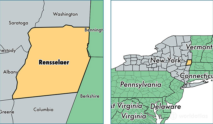
Rensselaer County is a county equivalent area found in New York, USA. The county government of Rensselaer is found in the county seat of Troy.
With a total 1,723.36 sq. km of land and water area, Rensselaer County, New York is the 1525th largest county equivalent area in the United States. Home to 159,774 people, Rensselaer County has a total 71527 households earning 59432 on average per year.
Rensselaer County, New York offers the following attraction to visitors: Kate Mullany NHS
Rensselaer County, New York - Quick Facts
| FIPS Code | 36083 |
| Area Codes | 518 |
| Time Zone | EST |
| Major Cities | Troy (population: 68,512), Rensselaer (population: 20,607), East Greenbush (population: 9,073), Averill Park (population: 7,950), Wynantskill (population: 7,923), Castleton on Hudson (population: 7,870), Hoosick Falls (population: 6,277), Nassau (population: 5,137), Petersburg (population: 3,176), West Sand Lake (population: 3,038) |
| Land Area | 61,689 sq miles |
| Water Area | 653 sq miles |
| Household Income | $59,432 |
| Housing Units | 71,527 |
| Median Home Value | $178,200 |
| High School Grads | 90% of population |
| Holders of Bachelors Degrees | 29% of population |
| Retail Spending | $8,915 per capita |
| Food & Accomodation Sales | $171,796 per capita |
This page was last updated on June 30, 2016.