Where is Bland County, Virginia?
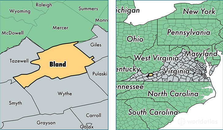
Bland County is a county equivalent area found in Virginia, USA. The county government of Bland is found in the county seat of Bland.
With a total 929.1 sq. km of land and water area, Bland County, Virginia is the 2717th largest county equivalent area in the United States. Home to 6,625 people, Bland County has a total 3243 households earning 42139 on average per year.
Bland County, Virginia - Quick Facts
| FIPS Code | 51021 |
| Area Codes | 276 |
| Time Zone | EST |
| Major Cities | Bland (population: 3,726), Bastian (population: 1,539), Rocky Gap (population: 771), Ceres (population: 630) |
| Land Area | 2,558 sq miles |
| Water Area | 358 sq miles |
| Household Income | $42,139 |
| Housing Units | 3,243 |
| Median Home Value | $95,200 |
| High School Grads | 83% of population |
| Holders of Bachelors Degrees | 15% of population |
| Retail Spending | $5,622 per capita |
This page was last updated on June 30, 2016.