Where is Albemarle County, Virginia?
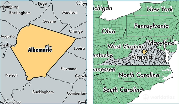
Albemarle County is a county equivalent area found in Virginia, USA.
With a total 1,880.9 sq. km of land and water area, Albemarle County, Virginia is the 1334th largest county equivalent area in the United States. Home to 104,489 people, Albemarle County has a total 43500 households earning 67725 on average per year.
Albemarle County, Virginia offers the following attraction to visitors: Monticello (Thomas Jefferson)
Albemarle County, Virginia - Quick Facts
| FIPS Code | 51003 |
| Area Codes | 434,540 |
| Time Zone | EST |
| Major Cities | Charlottesville (population: 54,765), Crozet (population: 7,736), Earlysville (population: 5,013), Keswick (population: 4,331), North Garden (population: 1,630), Esmont (population: 1,535), Free Union (population: 1,154), Greenwood (population: 458), Covesville (population: 394), Keene (population: 252) |
| Land Area | 40,343 sq miles |
| Water Area | 721 sq miles |
| Household Income | $67,725 |
| Housing Units | 43,500 |
| Median Home Value | $319,200 |
| High School Grads | 91% of population |
| Holders of Bachelors Degrees | 52% of population |
| Retail Spending | $18,213 per capita |
| Food & Accomodation Sales | $120,194 per capita |
| Universities and Colleges | University of Virginia-Main Campus |
This page was last updated on June 30, 2016.