Where is Greene County, Virginia?
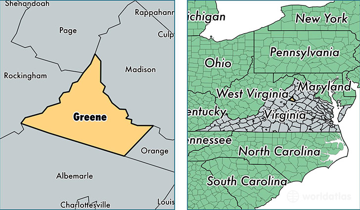
Greene County is a county equivalent area found in Virginia, USA. The county government of Greene is found in the county seat of Stanardsville.
With a total 406.12 sq. km of land and water area, Greene County, Virginia is the 3070th largest county equivalent area in the United States. Home to 19,031 people, Greene County has a total 7849 households earning 59358 on average per year.
Greene County, Virginia - Quick Facts
| FIPS Code | 51079 |
| Area Codes | 434 |
| Time Zone | EST |
| Major Cities | Ruckersville (population: 10,015), Stanardsville (population: 6,311), Dyke (population: 949) |
| Land Area | 7,348 sq miles |
| Water Area | 156 sq miles |
| Household Income | $59,358 |
| Housing Units | 7,849 |
| Median Home Value | $237,500 |
| High School Grads | 83% of population |
| Holders of Bachelors Degrees | 24% of population |
| Retail Spending | $5,330 per capita |
| Food & Accomodation Sales | $9,978 per capita |
This page was last updated on June 30, 2016.