Pulaski County, VA, USA
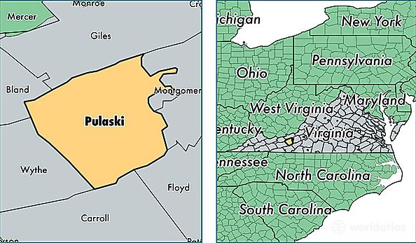
Pulaski County is a county equivalent area found in Virginia, USA. The county government of Pulaski is found in the county seat of Pulaski.
With a total 853.64 sq. km of land and water area, Pulaski County, Virginia is the 2784th largest county equivalent area in the United States. Home to 34,322 people, Pulaski County has a total 17178 households earning 44312 on average per year.
Pulaski County, Virginia - Quick Facts
| FIPS Code | 51155 |
| Area Codes | 540 |
| Time Zone | EST |
| Major Cities | Pulaski (population: 14,309), Dublin (population: 11,257), Draper (population: 2,005), Hiwassee (population: 1,925), Parrott (population: 458), Belspring (population: 322) |
| Land Area | 13,252 sq miles |
| Water Area | 320 sq miles |
| Household Income | $44,312 |
| Housing Units | 17,178 |
| Median Home Value | $133,900 |
| High School Grads | 82% of population |
| Holders of Bachelors Degrees | 16% of population |
| Retail Spending | $9,062 per capita |
| Food & Accomodation Sales | $40,707 per capita |
| Universities and Colleges | New River Community College |