Where is Giles County, Virginia?
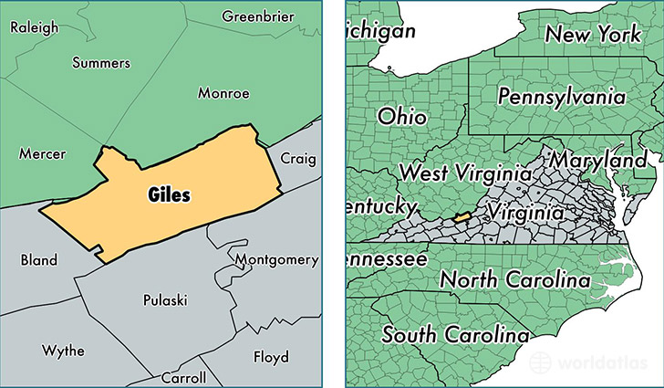
Giles County is a county equivalent area found in Virginia, USA. The county government of Giles is found in the county seat of Pearisburg.
With a total 933.49 sq. km of land and water area, Giles County, Virginia is the 2714th largest county equivalent area in the United States. Home to 16,815 people, Giles County has a total 8278 households earning 45141 on average per year.
Giles County, Virginia - Quick Facts
| FIPS Code | 51071 |
| Area Codes | 540 |
| Time Zone | EST |
| Major Cities | Pearisburg (population: 5,622), Narrows (population: 4,263), Pembroke (population: 3,322), Newport (population: 1,845), Rich Creek (population: 1,176), Ripplemead (population: 678), Staffordsville (population: 337), Eggleston (population: 205), Glen Lyn (population: 188) |
| Land Area | 6,492 sq miles |
| Water Area | 356 sq miles |
| Household Income | $45,141 |
| Housing Units | 8,278 |
| Median Home Value | $105,300 |
| High School Grads | 81% of population |
| Holders of Bachelors Degrees | 17% of population |
| Retail Spending | $10,026 per capita |
| Food & Accomodation Sales | $12,455 per capita |
This page was last updated on June 30, 2016.