Where is Wythe County, Virginia?
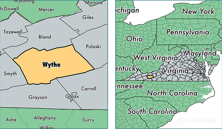
Wythe County is a county equivalent area found in Virginia, USA. The county government of Wythe is found in the county seat of Wytheville.
With a total 1,203.43 sq. km of land and water area, Wythe County, Virginia is the 2303rd largest county equivalent area in the United States. Home to 29,121 people, Wythe County has a total 14065 households earning 41275 on average per year.
Wythe County, Virginia - Quick Facts
| FIPS Code | 51197 |
| Area Codes | 276 |
| Time Zone | EST |
| Major Cities | Wytheville (population: 14,373), Max Meadows (population: 6,172), Rural Retreat (population: 4,942), Ivanhoe (population: 1,258), Barren Springs (population: 884), Speedwell (population: 787), Crockett (population: 644), Cripple Creek (population: 174) |
| Land Area | 11,244 sq miles |
| Water Area | 462 sq miles |
| Household Income | $41,275 |
| Housing Units | 14,065 |
| Median Home Value | $112,100 |
| High School Grads | 82% of population |
| Holders of Bachelors Degrees | 15% of population |
| Retail Spending | $31,847 per capita |
| Food & Accomodation Sales | $63,199 per capita |
This page was last updated on June 30, 2016.