Where is Orange County, Virginia?
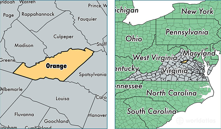
Orange County is a county equivalent area found in Virginia, USA. The county government of Orange is found in the county seat of Orange.
With a total 889.05 sq. km of land and water area, Orange County, Virginia is the 2752nd largest county equivalent area in the United States. Home to 35,026 people, Orange County has a total 14779 households earning 60287 on average per year.
Orange County, Virginia offers the following attraction to visitors: Montpelier (James Madison)
Orange County, Virginia - Quick Facts
| FIPS Code | 51137 |
| Area Codes | 540 |
| Time Zone | EST |
| Major Cities | Locust Grove (population: 12,990), Orange (population: 10,936), Gordonsville (population: 8,246), Barboursville (population: 5,156), Unionville (population: 3,235), Rhoadesville (population: 1,994), Somerset (population: 449), Burr Hill (population: 237), Montpelier Station (population: 40) |
| Land Area | 13,524 sq miles |
| Water Area | 341 sq miles |
| Household Income | $60,287 |
| Housing Units | 14,779 |
| Median Home Value | $230,500 |
| High School Grads | 85% of population |
| Holders of Bachelors Degrees | 22% of population |
| Retail Spending | $8,659 per capita |
| Food & Accomodation Sales | $25,953 per capita |
This page was last updated on June 30, 2016.